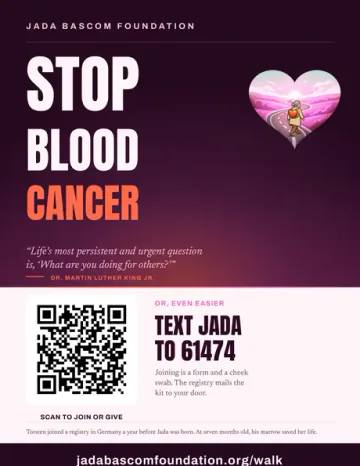
Scheduled walking distance
265.5 of 306.2 milesPlanned miles through the indicated stopFollowing the published schedule306.2 planned miles on foot, asking one question: would you join?
The Marrow Walk
Seattle to Olympia · a 45-day loop around the Salish Sea
One decision can travel farther than any one walk.
Jeana Moore is walking a planned 306.2 miles around the Salish Sea for her granddaughter Jada and for patients who need a blood stem cell donor. Steps to Marrow 5 includes 45 days, ten Awareness Days and a route to the official registry that serves where you live.
September 7–October 21, 2026

Route update · September 27
The walk now goes through Tsawwassen, and is back on schedule in Victoria
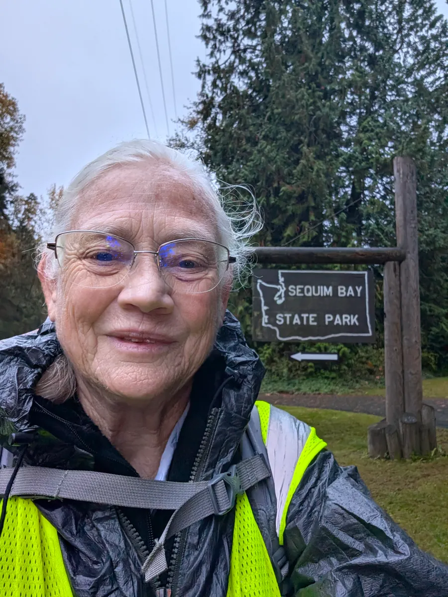
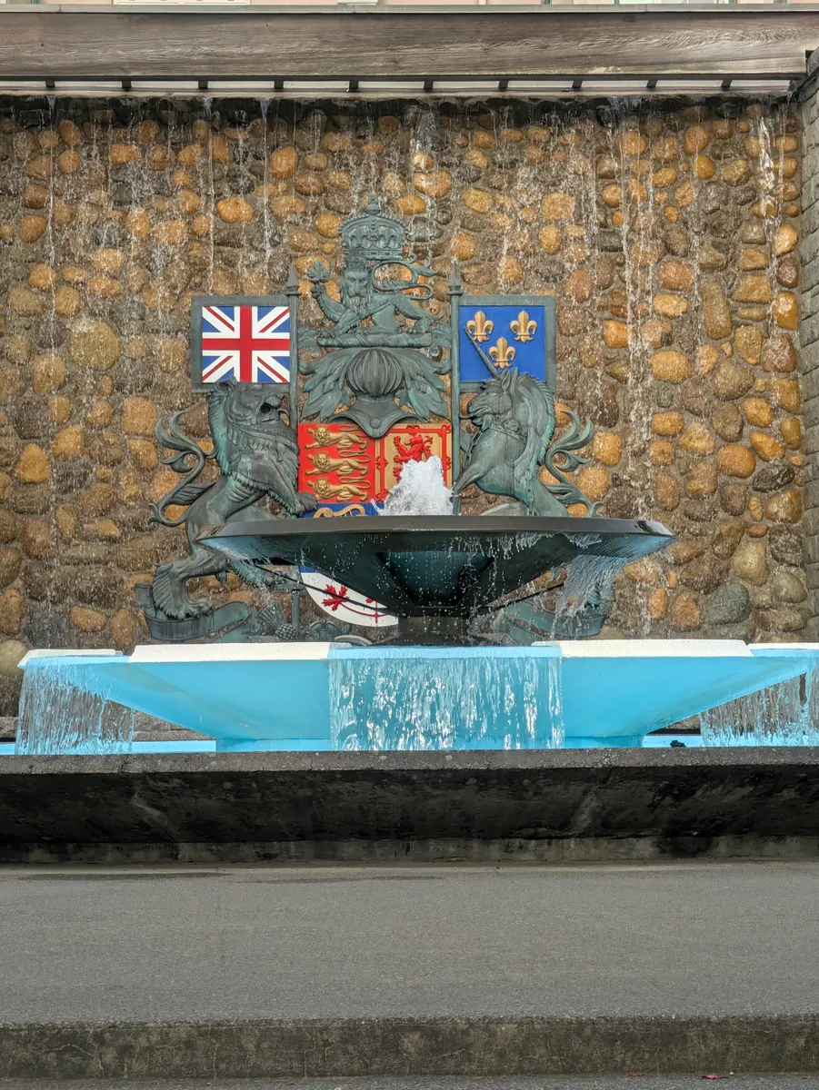
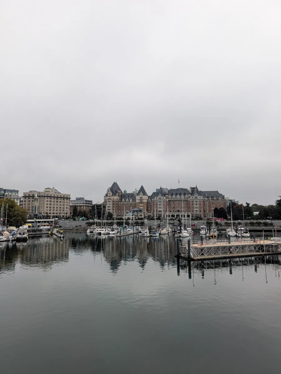
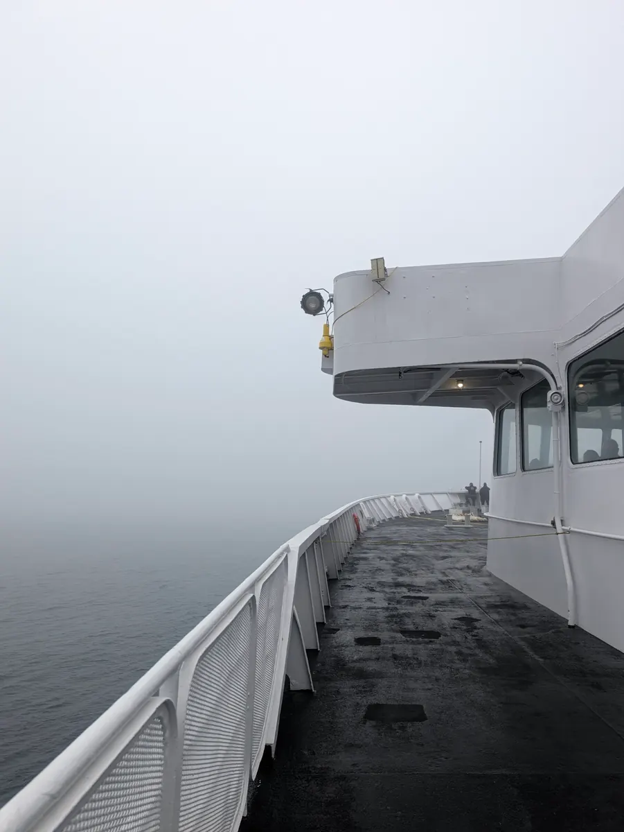
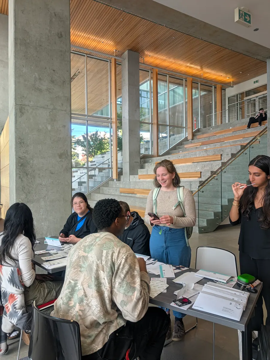
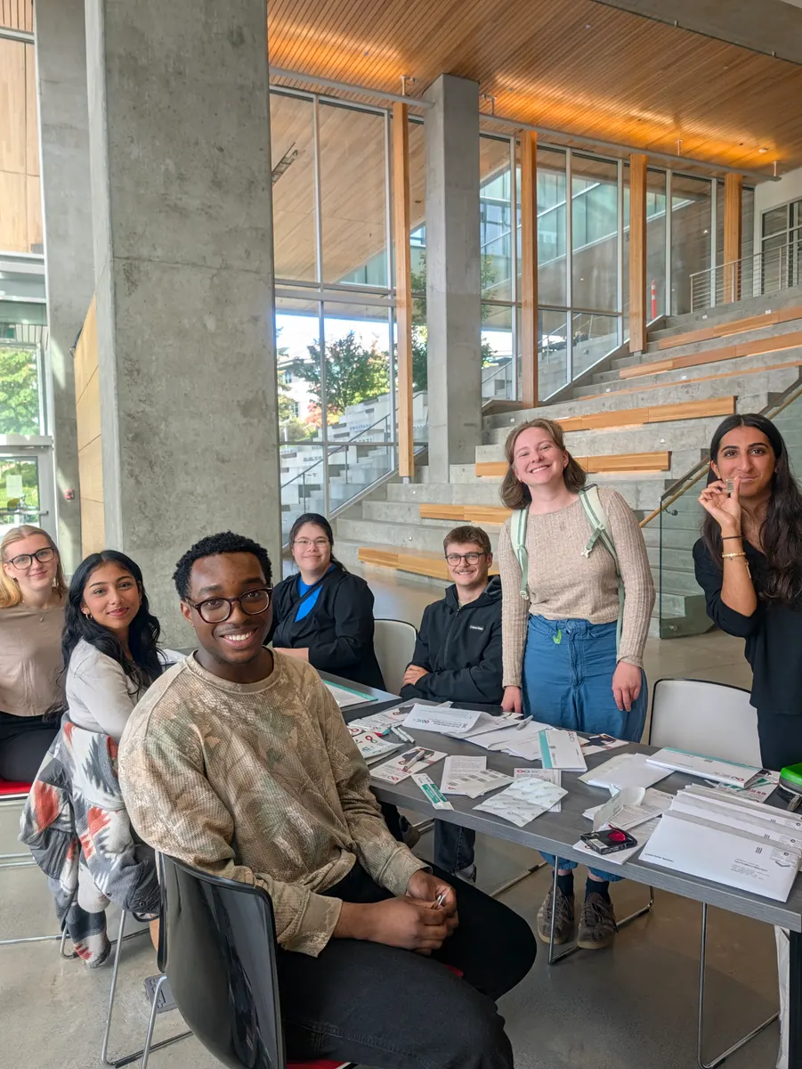
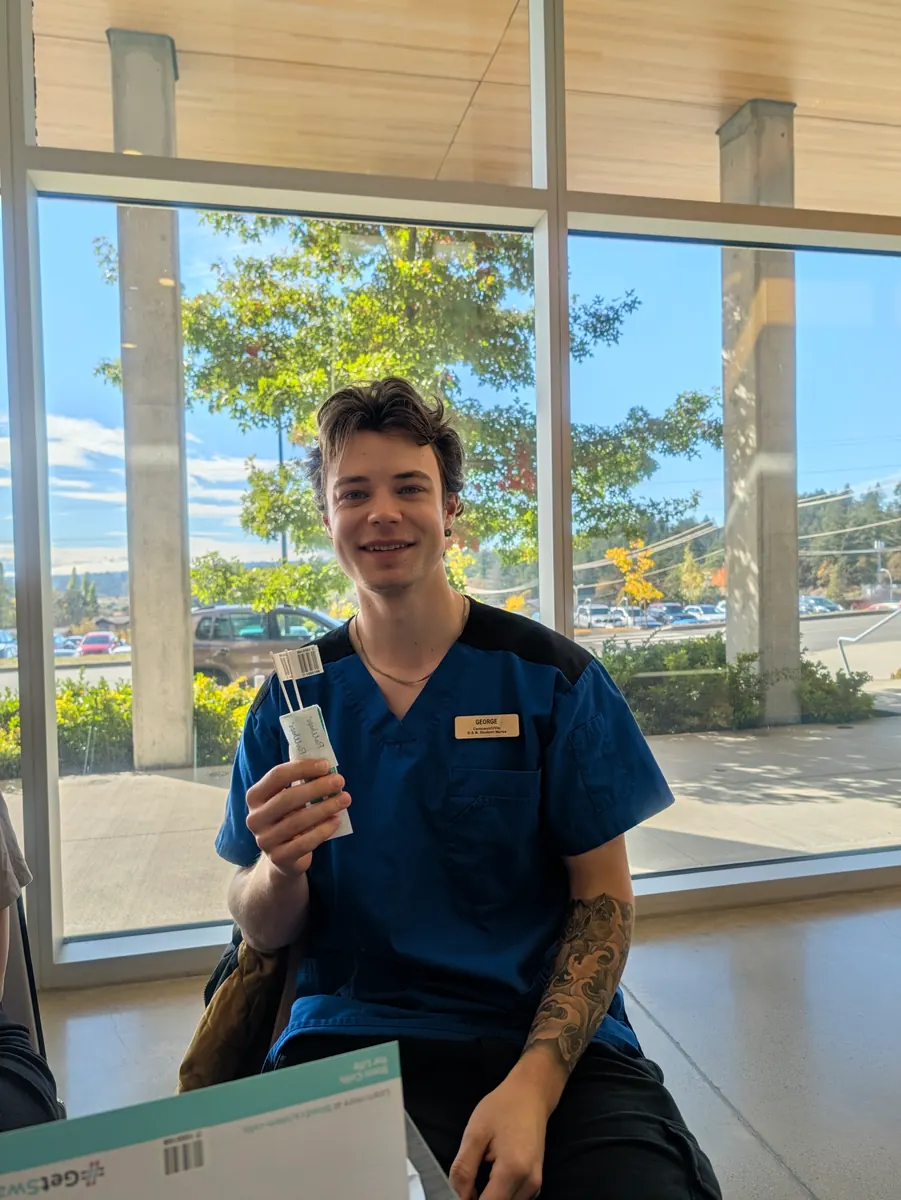
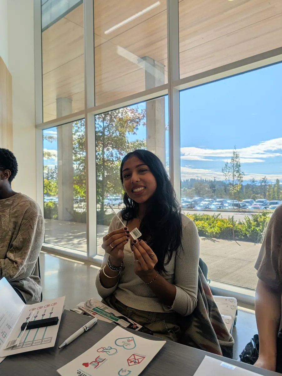
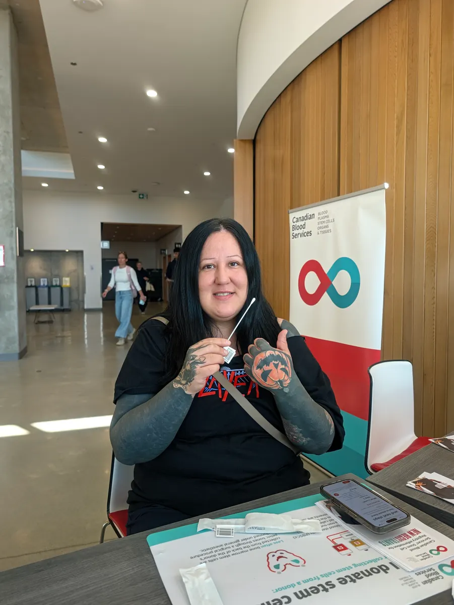
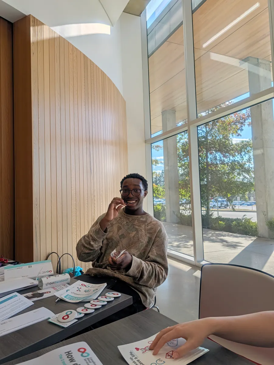
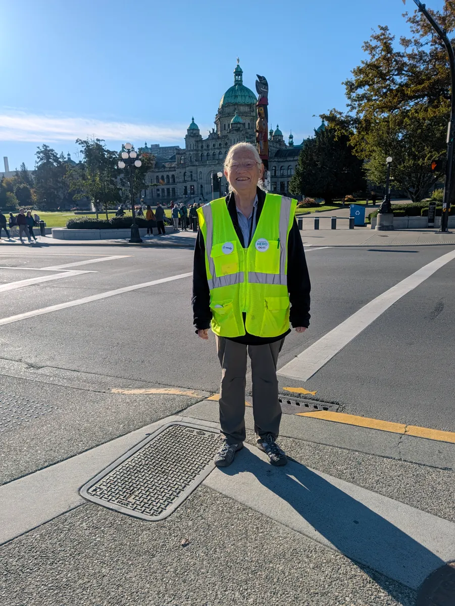
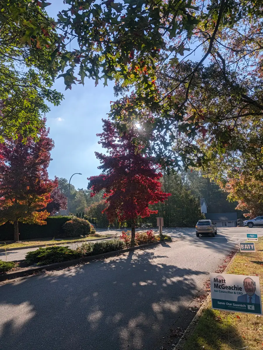
Jeana had a cold, so the Vancouver stops were canceled and the walk turned toward Tsawwassen. She still went to Vancouver on September 25, for a Canadian Blood Services stem cell drive at the University of British Columbia that CTV Vancouver and CityNews Vancouver covered. She reached Tsawwassen on Sunday, September 27, and held two Bone Marrow Awareness Days there, in the traditional territory of the Tsawwassen First Nation. She took the ferry to Swartz Bay on Wednesday, September 30, and walked through Sidney and Saanichton to Victoria, which she reached on Saturday, October 3, a day ahead of plan. From Victoria the walk is back on its original schedule to Olympia on October 21.
Following the itinerary
Progress
Schedule estimates are labelled below. Actual arrivals and mileage may differ.
Stops passed in the schedule
36 of 42 on the routeCalendar estimate · arrivals may differ- Previous scheduled stop
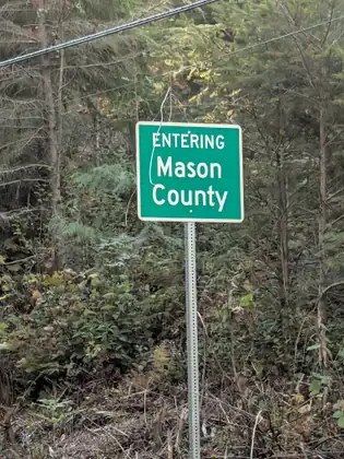
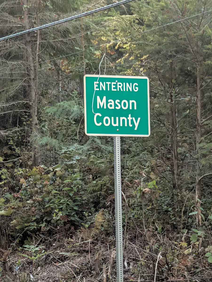
- PotlatchPotlatch State Park, US Highway 101, Mason County, Washington
- Next scheduled stop
- Bone Marrow Awareness Day — Hood CanalUS Highway 101, Hood Canal, Mason County, Washington
Latest dispatch
Coffee and kindness in Hoodsport, a warning about bears in Skokomish, and a cabin at PotlatchCatch upWhy this road
One choice connected three lives
Told by Jada Bascom Foundation.
Jada Bascom was diagnosed with acute myeloid leukemia at one month old. No one in her family was a match. At seven months, she received a transplant using marrow from Torsten Huber, a donor in Germany.
Torsten had registered with DKMS at a donor drive in southern Germany in April 2006, about a year before Jada was born. The foundation’s account follows the search that connected them and the relationship that grew from his donation.
Jeana Moore is Jada’s grandmother. She founded the Jada Bascom Foundation in 2009 and has walked thousands of miles across the United States and Europe to raise awareness of donor registration. Steps to Marrow 5 continues that work.
The planned route begins in Seattle, crosses into British Columbia, continues to Vancouver Island and returns by ferry to the Olympic Peninsula before reaching Olympia. Its 306.2 planned walking miles exclude the two ferry crossings. Ten of the 45 days are set aside as Bone Marrow Awareness Days, with no planned route miles.
JBF refers readers to official registries, which set their own eligibility requirements and manage registration. NMDP provides the United States process; Canadian Blood Services directs Canadian applicants outside Québec, and Québec residents are directed to Héma-Québec. Read the requirements and information about donation before deciding whether to join.
Transplant teams can consider relatives, unrelated donors and cord blood, including some partially matched options. More potential registry donors give those teams a broader search. The walk invites readers to learn about registration and consider becoming one of those potential donors.
“I wanted to talk to people face to face and get the word out. I believed the best way to do that was to walk. A person arriving on foot invites a question: Why are you doing this? That question gave me the chance to tell Jada’s story.”
A story in chapters
Guided Atlas
Nine chapters, forty-five days and one question asked out loud the whole way: would you join? Trace the loop, then read it a chapter at a time.
Walk it with her
Every place on the route
Move through every place on the route and read why each one is there.
The route on a map
Every place on the route
Route overview—not turn-by-turn directions.
The whole route · north is up
- Scheduled earlier on foot
- Scheduled earlier by ferry
- Planned on foot
- Awareness Day
- Chapter boundary
- Transplant center
- Start / finish
306.2miles on foot
42places to stop
9chapters
Seattle to British Columbia, and back down to Olympia
Open every stop in orderRoute overview—not turn-by-turn directions
Ten Awareness Days and nine chapter boundaries structure the route. Two ferry crossings connect the walking sections; distinct symbols mark the start, finish and transplant center.
Protomaps · © OpenStreetMap contributorsChapter 1
Seattle to Everett
The planned opening chapter links Seattle, Shoreline, Martha Lake and Everett, ending with the first Awareness Day.
- Planned dates
- Sep 7, 2026 – Sep 10, 2026
- Stops
- 5
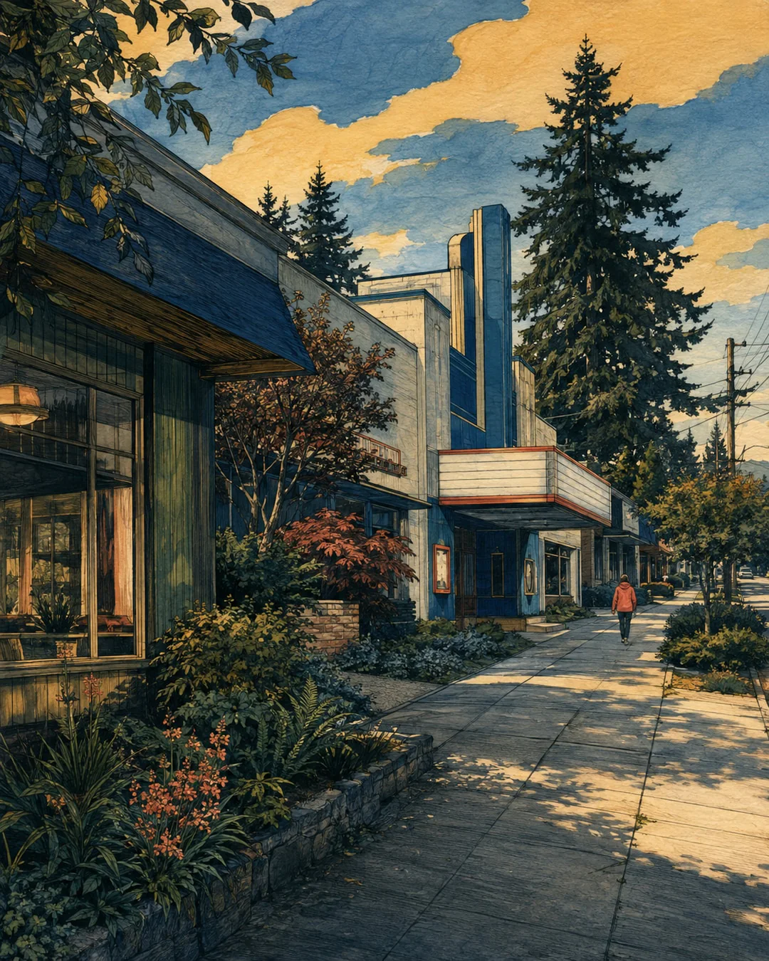
The opening chapter is planned from Fred Hutch at UW Medical Center–Montlake through Ridgecrest and Martha Lake to Everett. Seattle’s place in transplant medicine supplies the historical context: Thomas’s team worked at the Public Health Hospital before Fred Hutch opened on First Hill in 1975. The present start location is a later part of that history. North of Seattle, the route passes through places with their own civic stories: Ridgecrest’s postwar school and theater, a former private resort acquired for Martha Lake Park, and Everett’s station between the river and the bay. Three walking days lead to the first Awareness Day. Jeana’s family story explains the purpose connecting these places on the planned journey north.
Explore this chapter
Chapter 2
Into the Skagit
Four planned walking stages through Marysville and Arlington into Skagit County, followed by an Awareness Day in Mount Vernon.
- Planned dates
- Sep 11, 2026 – Sep 15, 2026
- From
- Kruse Junction
- Stops
- 5
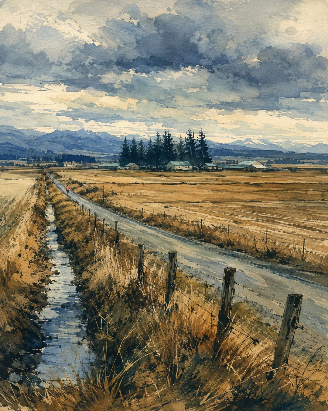
The plan continues through the Marysville area to Arlington, then into southern Skagit County and Mount Vernon. Railways and rivers recur in the history of these places: Marysville’s early timber economy, Arlington at the Stillaguamish forks, and the former rail corridor now used by the Centennial Trail. The Bertelsen Winery area marks the longer stage into Skagit County before a shorter approach to Mount Vernon. Beside the Skagit River, the city’s flood-protection works also created a promenade and public plaza. The chapter ends with the planned second Awareness Day. Its four walking stages and educational pause make room for these different places while keeping the walk’s educational purpose in view.
Explore this chapter
Chapter 3
Chuckanut to Bellingham
The planned Blanchard–Chuckanut–Bellingham chapter combines forest, road and hospital history, with a current Larrabee access warning.
- Planned dates
- Sep 16, 2026 – Sep 19, 2026
- From
- Blanchard
- Stops
- 4
Blanchard’s working forest gives way to the historic Chuckanut corridor and the approach to Bellingham. DNR’s account follows logging, a major 1925 fire and the forest’s transfer to state ownership. Along the coast road, Larrabee’s history reaches back to Washington’s first state park in 1915. Water-line construction at Larrabee overlaps the planned September stage, with changing day-use access; check directly with the park before traveling. In Bellingham, St. Joseph’s history of community care begins in 1891. The itinerary places a walking stage near the medical center, then an Awareness Day before continuing toward the border.
Explore this chapter
Chapter 4
North to the Peace Arch
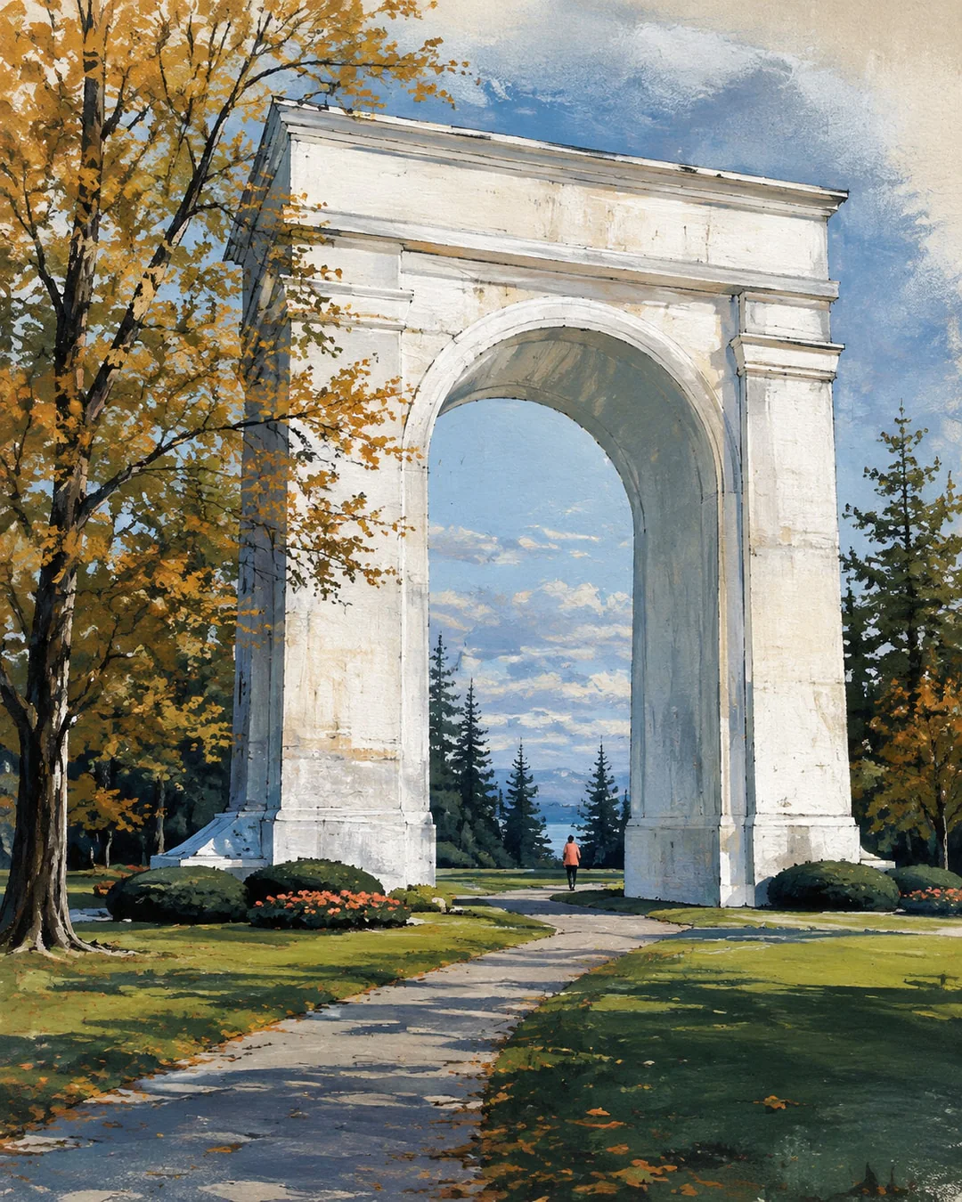
The Custer–Blaine–Elgin stages were planned to cross the Peace Arch on September 22, 2026, World Marrow Donor Day. Jeana was resting in Blaine with a cold that day and walked across the border on September 23.
- Planned dates
- Sep 20, 2026 – Sep 23, 2026
- From
- Custer
- Stops
- 3
Custer and Blaine lead to the planned Peace Arch crossing into Surrey. Custer’s school history stretches back to a separate district founded in 1891; Blaine’s harbor history includes fishing, logging and the Peace Arch dedicated in 1921. Beyond the border, Elgin’s river and farmhouse history belongs to a different era of travel along the Nicomekl. The crossing was planned for September 22, 2026, the date listed for World Marrow Donor Day. As it turned out, Jeana spent that day resting in Blaine with a cold, and she walked across the border at the Peace Arch on September 23. Readers can find registration guidance through the official organization serving their home country or province.
Explore this chapter
Chapter 5
Tsawwassen and the Ferry
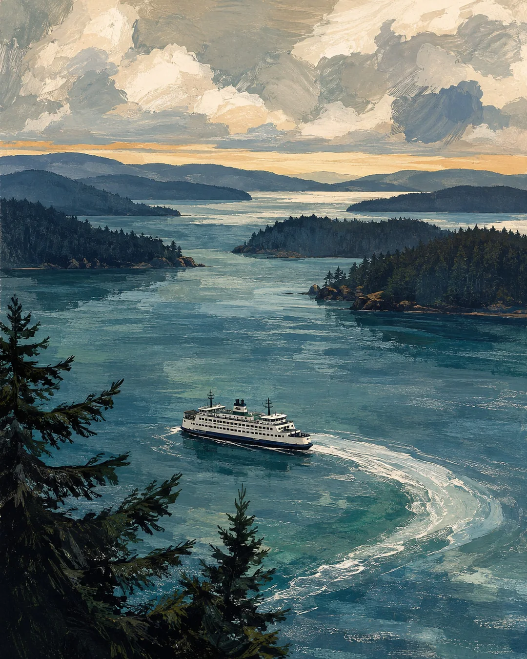
From Ladner Trunk Road in Delta the walk comes to Tsawwassen, in the traditional territory of the Tsawwassen First Nation, holds two Awareness Days there, and crosses by ferry to Sidney on Vancouver Island.
- Planned dates
- Sep 27, 2026 – Sep 30, 2026
- Stops
- 4
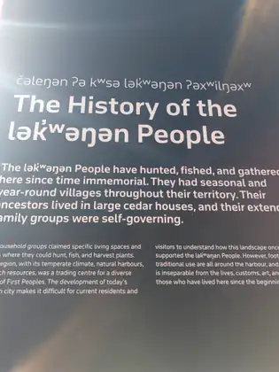
The route changed in late September. Jeana had a cold, so the Vancouver stops were canceled and the walk turned toward Tsawwassen and the coast. She still went to Vancouver on September 25, for a Canadian Blood Services stem cell drive at the University of British Columbia that made the TV news. She started Day 21 on Ladner Trunk Road in Delta, with about 9.8 planned miles south and west to Tsawwassen, partly along the Boundary Bay dyke trail, where a regional park shelters migrating birds on the Pacific Flyway. Tsawwassen, one of Delta’s three communities, is in the traditional territory of the Tsawwassen First Nation. Jeana plans two Bone Marrow Awareness Days in Tsawwassen, on September 28 and 29, with no walking, talking with people in the Tsawwassen First Nation community about joining the Canadian Blood Services Stem Cell Registry. Canadian Blood Services says a patient is more likely to find a match in a donor of similar ancestry, and that it needs many more donors of Indigenous ancestry. The Tsawwassen–Swartz Bay ferry then carries the route to Vancouver Island, with 8.5 planned land miles to Sidney. The sailing itself is not counted as walking.
Explore this chapter
Chapter 6
Saanich to Victoria
Three planned walking days and two Awareness Days connect Sidney, Saanichton, Royal Oak and Victoria, where the walk is back on its original schedule.

- Planned dates
- Oct 1, 2026 – Oct 5, 2026
- Stops
- 5
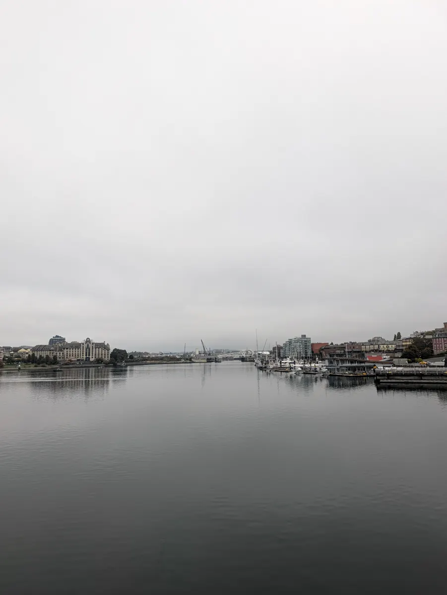
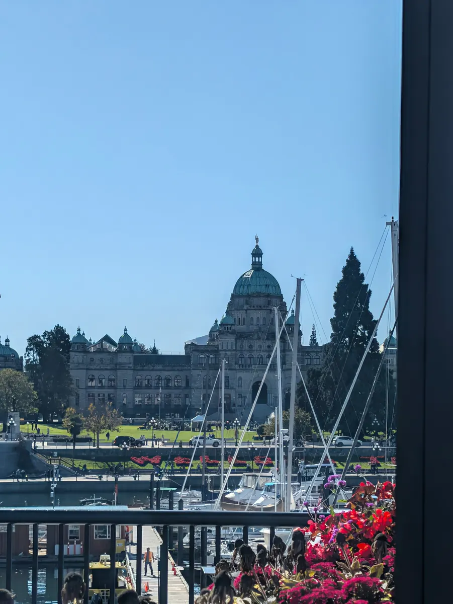
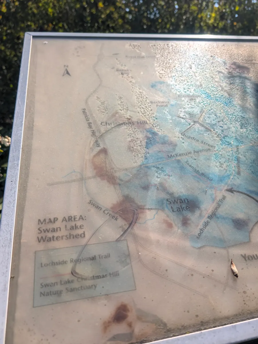
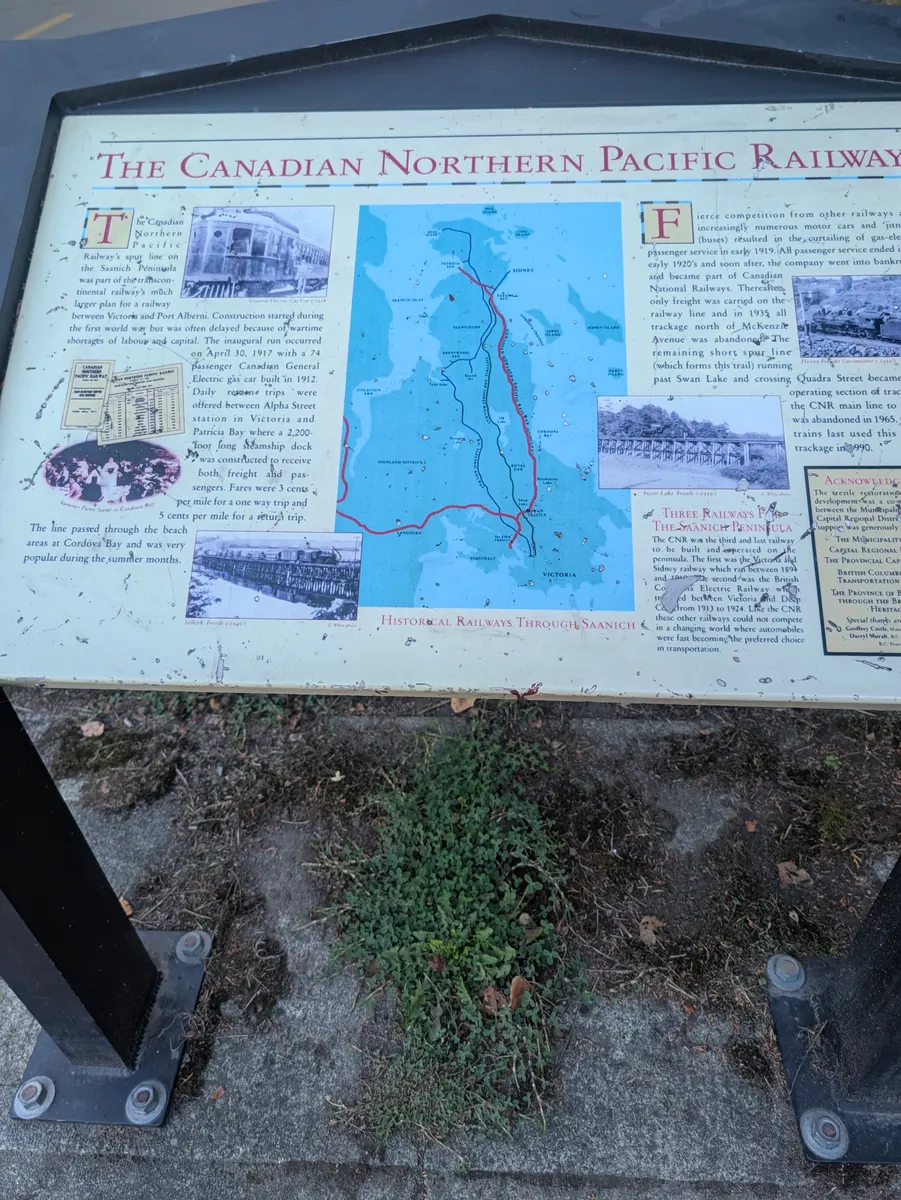
The island chapter is planned southward from Sidney through Saanichton and Royal Oak to Victoria, with an Awareness Day at each end. Sidney’s heritage account places its later village history within the peninsula’s longstanding W̱SÁNEĆ presence. Saanichton sits among the farms of Central Saanich, home to the Saanich Fair, a peninsula tradition since 1868. Royal Oak preserves a different civic thread in Saanich’s former municipal hall, while the Lochside Regional Trail follows part of the peninsula’s railway geography. Victoria brings the route to British Columbia’s capital and the Inner Harbour, planned for October 4; Jeana walked into downtown Victoria a day early, on October 3, and from there the walk is back on its original schedule. After the planned Victoria Awareness Day, the Coho crossing leads to Port Angeles and the Olympic Peninsula. Three walking days and two educational pauses make up this section.
Explore this chapter
Chapter 7
Port Angeles to Quilcene
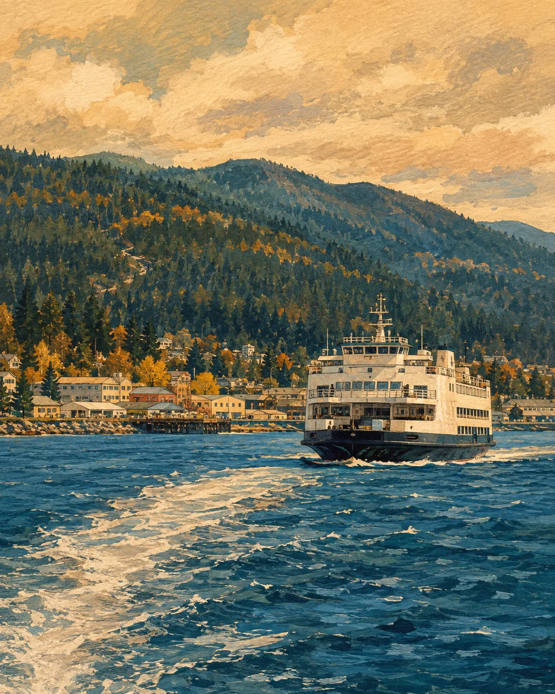
A planned ferry arrival and five days through the Olympic Peninsula lead to the Quilcene Awareness Day.
- Planned dates
- Oct 6, 2026 – Oct 11, 2026
- Stops
- 6
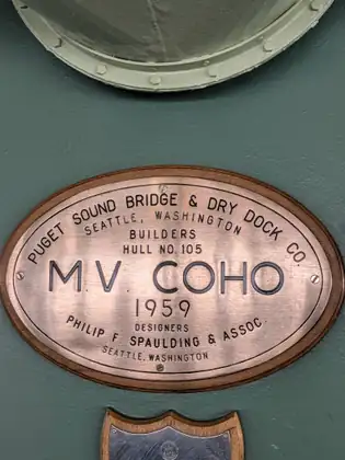
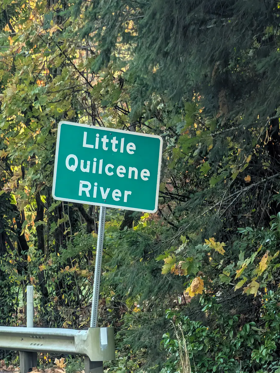
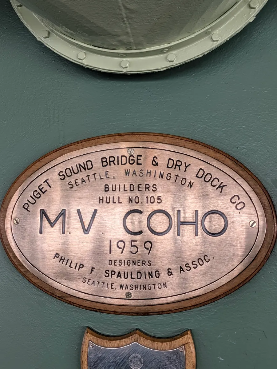
The second ferry is planned from Victoria to Port Angeles, followed by walking east toward Carlsborg, Blyn and Discovery Bay before the longer stage to Quilcene. The Coho’s service began in 1959. On land, former railway structures remain in the Olympic Discovery Trail, and Carlsborg’s county history follows lumber, agriculture and local industry. Farther along, Quilcene’s river and hatchery history connects the Olympic Mountains with Hood Canal. This six-day chapter includes one ferry-and-walking day, four walking-only stages and the planned Quilcene Awareness Day. Water miles remain outside the walking total. The chapter links working towns, former railway corridors and river habitat before the next stages along Hood Canal.
Explore this chapter
Chapter 8
Hood Canal
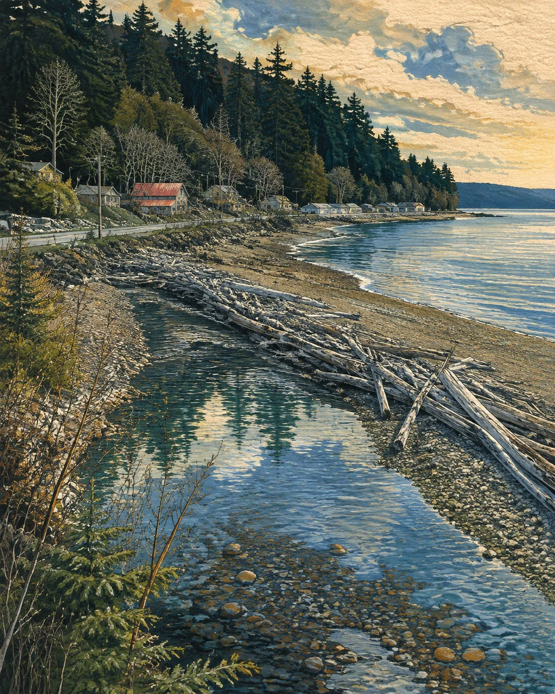
Four planned walking stages and an Awareness Day follow Hood Canal from Brinnon to the Potlatch area.
- Planned dates
- Oct 12, 2026 – Oct 16, 2026
- From
- Brinnon
- Stops
- 5
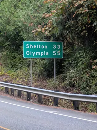
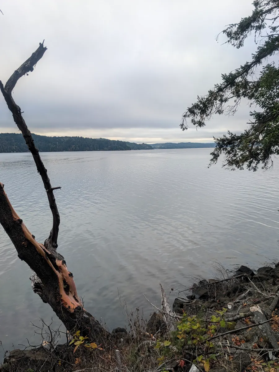
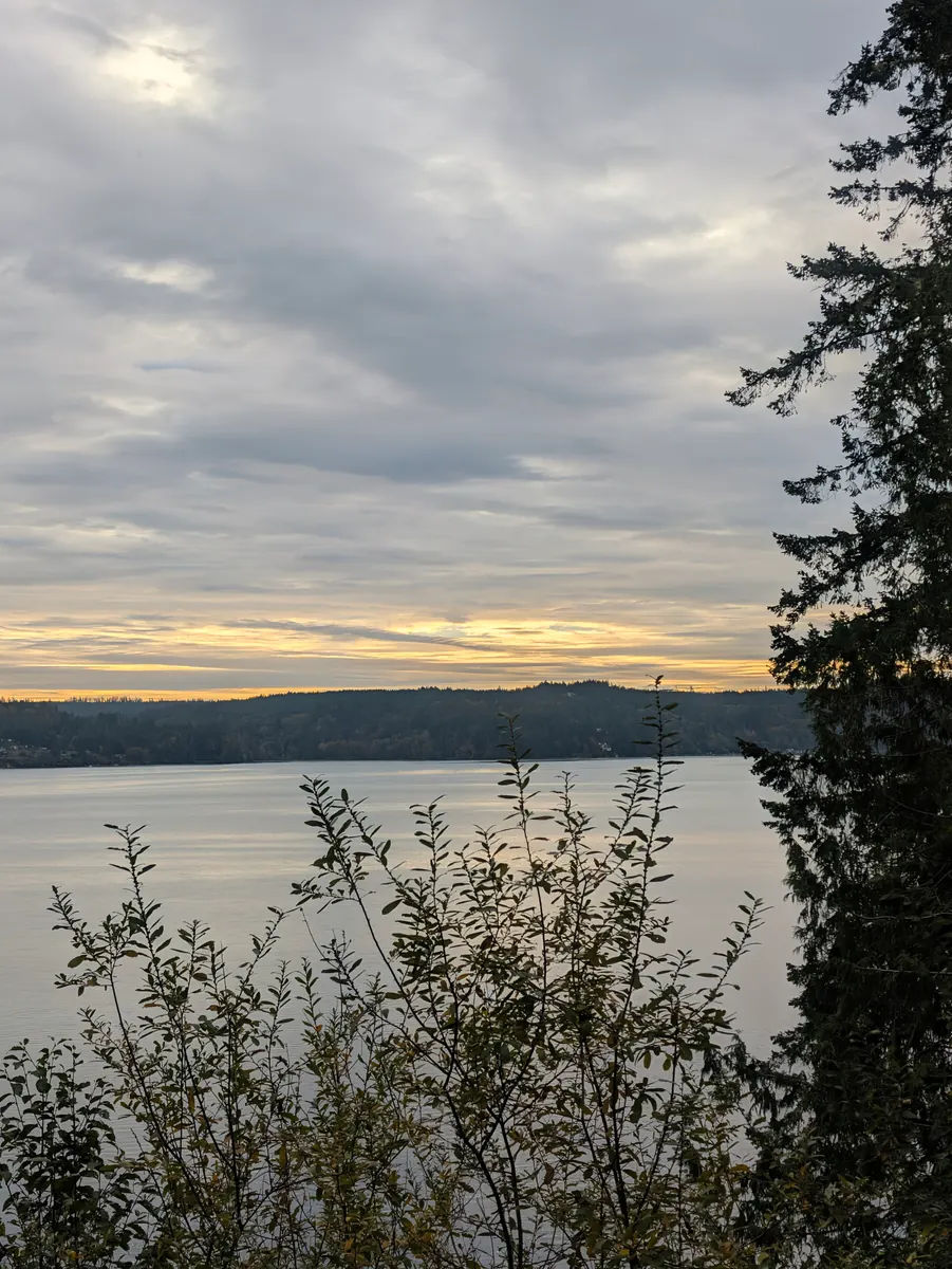
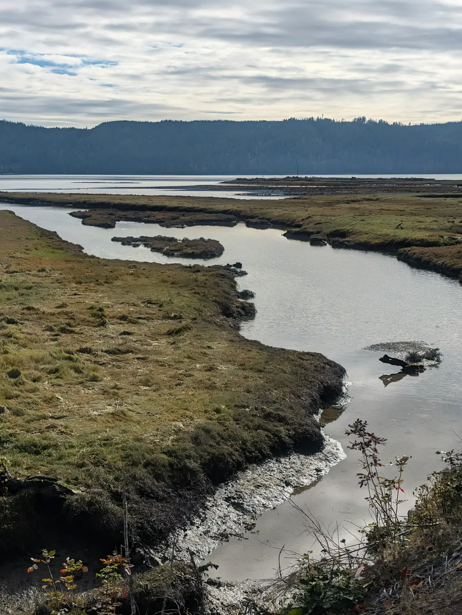
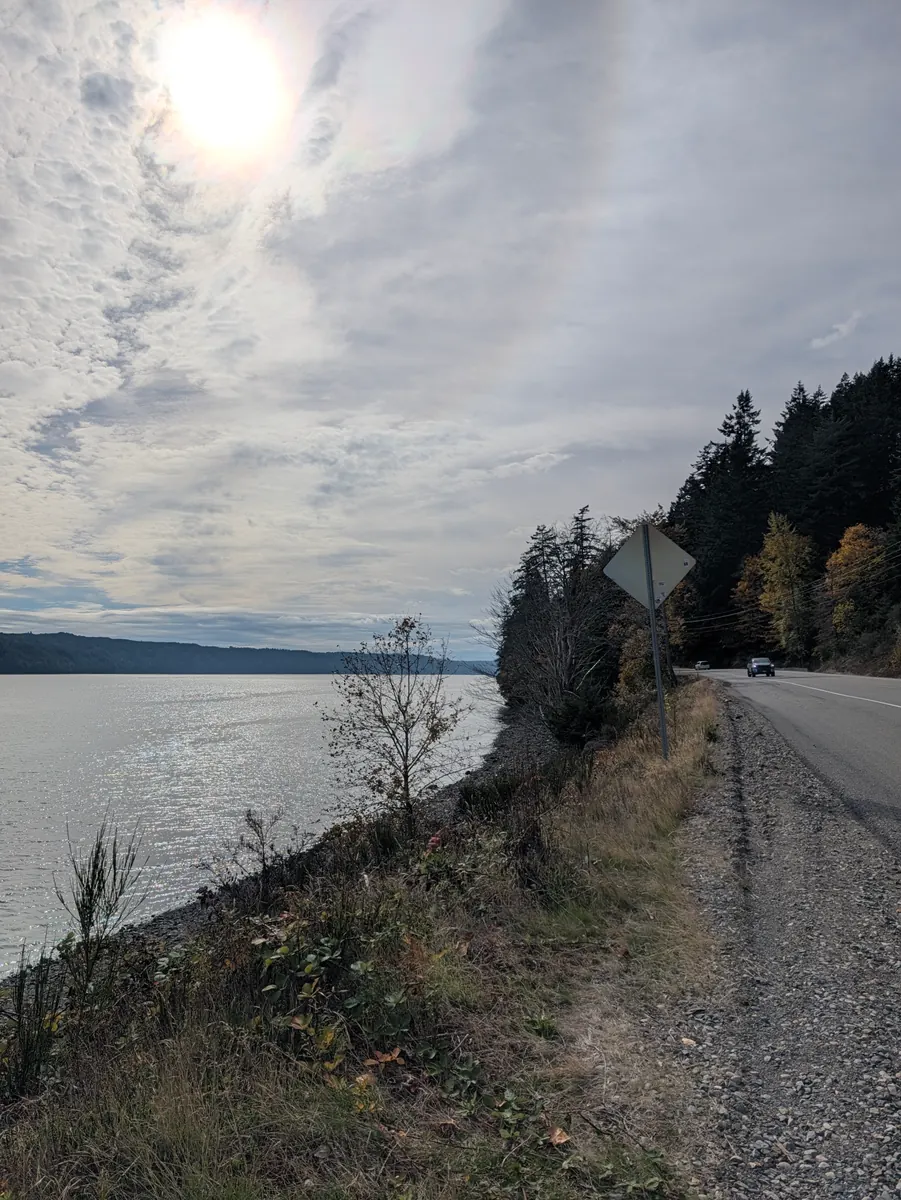
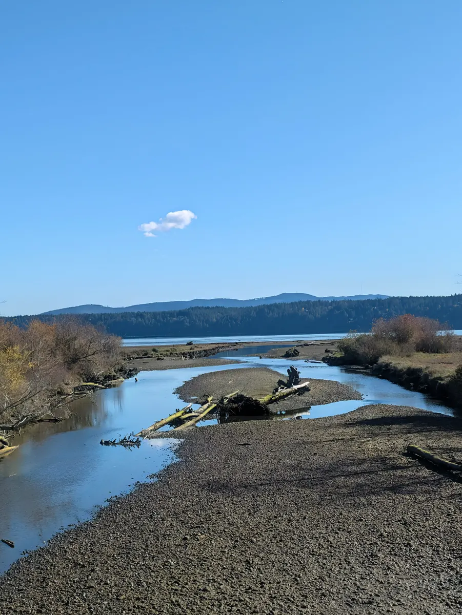
The planned route follows Hood Canal through Brinnon, Triton Cove and Lilliwaup to Potlatch, then pauses for the ninth Awareness Day. The name can be misleading: Hood Canal is a fjord, with circulation and oxygen levels that have drawn sustained scientific study. Along its shore, local histories describe the Dosewallips estuary and efforts to preserve public waterfront at Potlatch. Lilliwaup also appears in an 1890 government expedition’s route into the Olympic interior. The current walk remains with the canal before turning toward Shelton. Four planned walking stages lead to the educational pause before the final approach through the South Sound.
Explore this chapter
Chapter 9
South Sound to the Capitol
The planned final chapter ends its walking at the Capitol on Day 44, then closes with an Olympia Awareness Day on Day 45.

- Planned dates
- Oct 17, 2026 – Oct 21, 2026
- From
- Shelton
- Stops
- 5
The final chapter is planned through Shelton, Kamilche and Madrona Beach to Washington’s Capitol, followed by the tenth Awareness Day in Olympia. Shelton’s municipal and hospital-district histories, the working inlet landscape near Kamilche and Eld Inlet’s creek basin give the approach its own subjects. The Legislative Building, completed in 1928, is the planned end of the walking portion on Day 44. Day 45 is a separate educational day with no planned route miles. Across the complete itinerary, the 306.2 planned walking miles exclude both ferry crossings. Jeana’s family story remains the reason for the campaign, and the closing invitation is for readers to learn about the official registry that serves where they live.
Explore this chapter
From the road
Dispatches
Notes from the walk, newest first.
Coffee and kindness in Hoodsport, a warning about bears in Skokomish, and a cabin at Potlatch
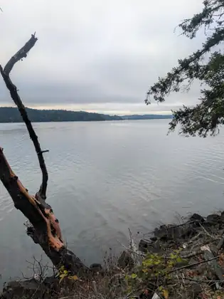
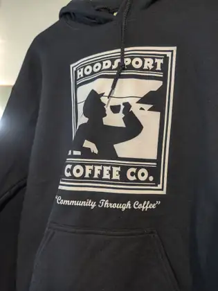
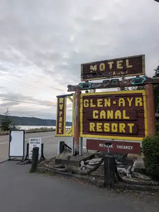
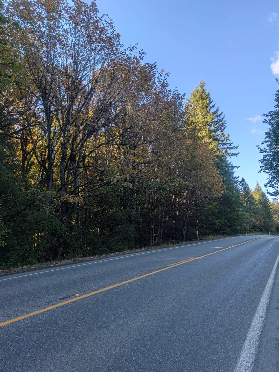
She left the Glen Ayr Canal Resort with clean clothes, feeling refreshed. The day’s walk wasn’t very long, but she would have to add the 4.4 miles from the day before at the end of it. It was just over a mile into Hoodsport proper, and she stopped at the Hoodsport Coffee Company to see whether she could get some breakfast.
As she reached the door, a gentleman already going in held it for her, and while she took off her pack he went up to order. When she explained to the woman at the counter what she was doing, she learned that the gentleman ahead of her had paid for her coffee, and the woman was happy to give her some breakfast too. She ordered a cheese-and-jalapeño bagel with cream cheese, along with the latte that generous gentleman had paid for.
One of the staff, Amy, visited with her on her break. Amy is new to the area and came to this beautiful part of the Olympic Peninsula to start a fresh life.
She walked from Hoodsport to Potlatch and from Potlatch to Skokomish, a little under five miles, and once in Skokomish she began looking for somewhere to stay. She came across the Skokomish Tribal Police office and stopped to ask whether there was somewhere safe to put her tent.
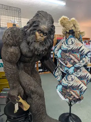
A very nice woman there worked hard to find her a place, but most of her ideas were in Shelton, where Jeana was headed the next day. She also warned her not to stay in a tent: it was the time of year when bears fatten up for their winter hibernation, a bear had been in town the last two nights, and a pair of cougars had been spotted as well. Some of the officers were out looking for the bear as they spoke.
Just then a text came from Amy: “I have something for you, where are you?” Amy was just down the road, so she came over to the police station and handed Jeana her day’s tips. Part of her didn’t want to take them, Jeana says, but the offering was so genuine that it would have been unkind not to accept it, and she was so moved that Amy wanted to share with the Jada Bascom Foundation.
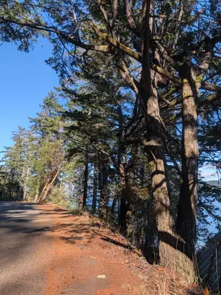
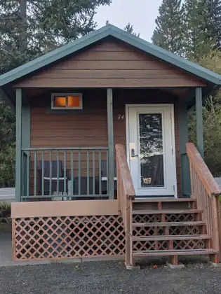
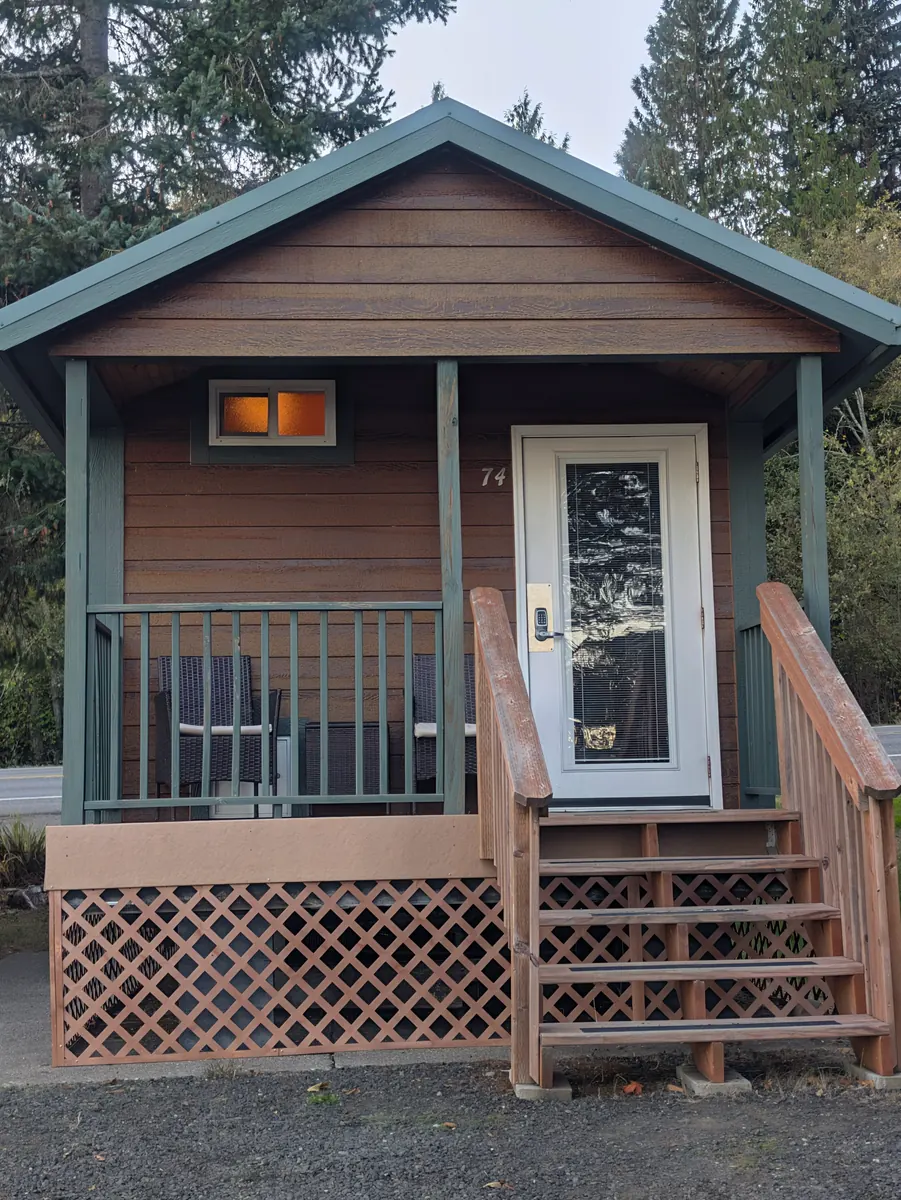
The places the police had found for her were 12 miles ahead of her walk; if that had been the only option, she would have gone and come back to walk those miles. But she and Amy worked out that there was a motel just two miles back, so back to Potlatch she went, with Amy’s help. The Waterfront Hotel at Potlatch had a little cabin free, and the Foundation covered her night there, safe from the bears and the cougars.
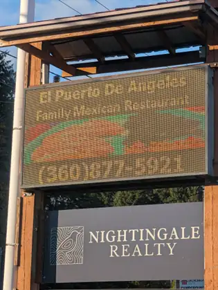
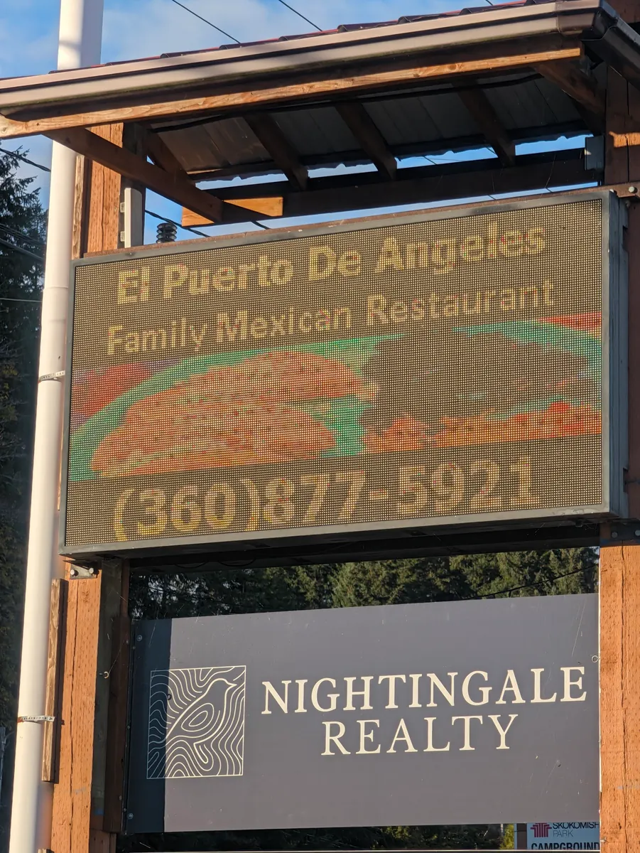
The nearest place to eat was 2.4 miles back in Hoodsport, so after dropping her things at the cabin she walked back to El Puerto de Angeles Family Mexican Restaurant, where they very generously offered her an enchilada meal: exactly what she needed to nourish body and soul. Afterwards a young woman picking up a to-go order gave her a ride the 2.4 miles back to the Waterfront Hotel, which was perfect. She would still have to walk the two miles back into Skokomish, but she would have made up her 4.4 miles. With dinner done, she was ready to settle in for the evening.
All along her journey, from the very first steps out of Seattle, she has found blackberries ripening on the bushes beside the highway, and she has snacked on them all the way through Washington and in Canada too. She hasn’t seen a ripe one for three days now, and a friend told her to be careful: at this time of year the bears are getting ready to hibernate, and they love blackberries. You might run into a bear, he warned her, while you’re munching on blackberries.
It was one of those connections that opened doors to new ideas and possibilities.
Jeana Moore 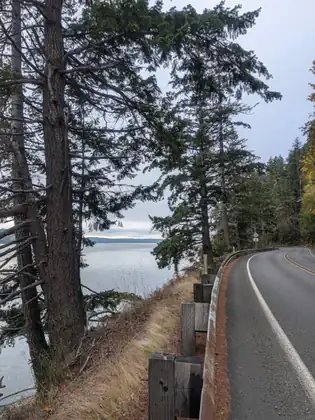
Show all 16 photos from this dayShow fewer photos
- Distance walked
- 10.3 miles
Chowder at the Hama Hama Oyster Saloon, and a lift from Skeet and Edna when Lilliwaup had no room
She woke before the sun and took a minute to snuggle down into her sleeping bag to stay warm. It was cold, though surprisingly a little warmer than it had been the night before. By flashlight she walked over to plug in her phone again, to be sure it had all the charge she would need for the day’s walk into Lilliwaup. Breakfast was the Aussie Bites, which were really good, plus a few Girl Scout cookies she had never had before, called Exploremores, and the last of the tea from the thermos. She packed up all the food and containers and put them in the bag for Morgan to take back up to the house.
The sun had just started to rise. On the porch of the little cabin there was enough light to stuff her sleeping bag into its little bag and stow it in her backpack, and to put band-aids on her toes to protect them from blisters. Knock on wood, she says, she hasn’t had a single blister yet on this walk, the first time that has ever happened on a Steps to Marrow journey, and she will stay diligent and careful every day.
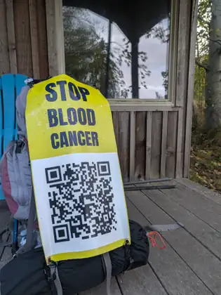
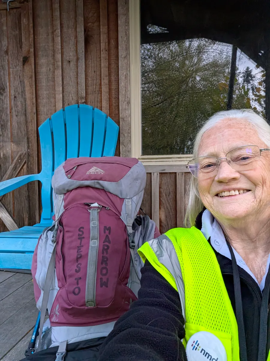
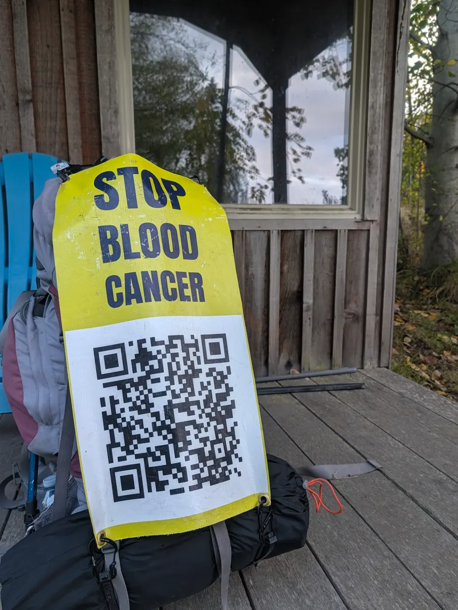
She walked just under 4 miles to the Hama Hama Oyster Saloon. Many people along this stretch of highway had told her to stop there, and a sign on the door advertised coffee. As she went in she met two men who had seen her on the highway and wanted to know more. She is so grateful, she says, for the QR code around her neck, which makes it easy to share the website: they snapped a photo of it, and they went their separate ways.
The beautiful young woman behind the counter shared a coffee with her, then asked whether she would like a cup of clam chowder. The woman had seen the Halfway House Restaurant’s Facebook post, so she already knew about the walk. The chowder was fresh and delicious. Her son-in-law, Kyle, Jeana says, must visit the Hama Hama Oyster Saloon; he would love it.
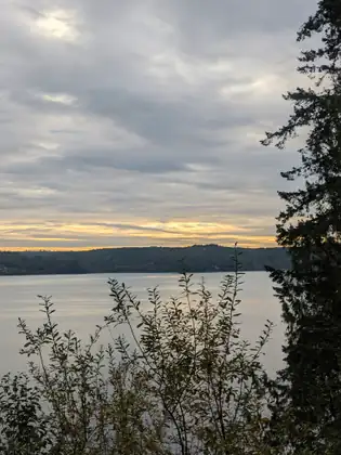
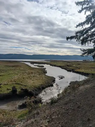
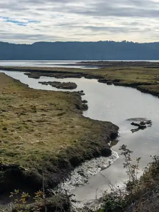
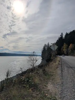
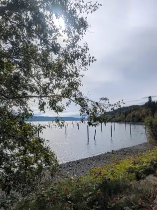
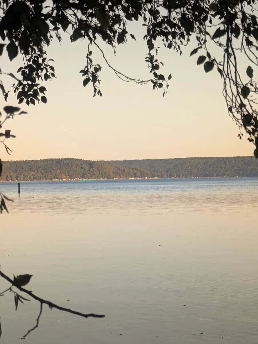
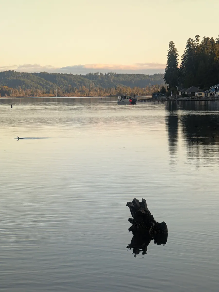
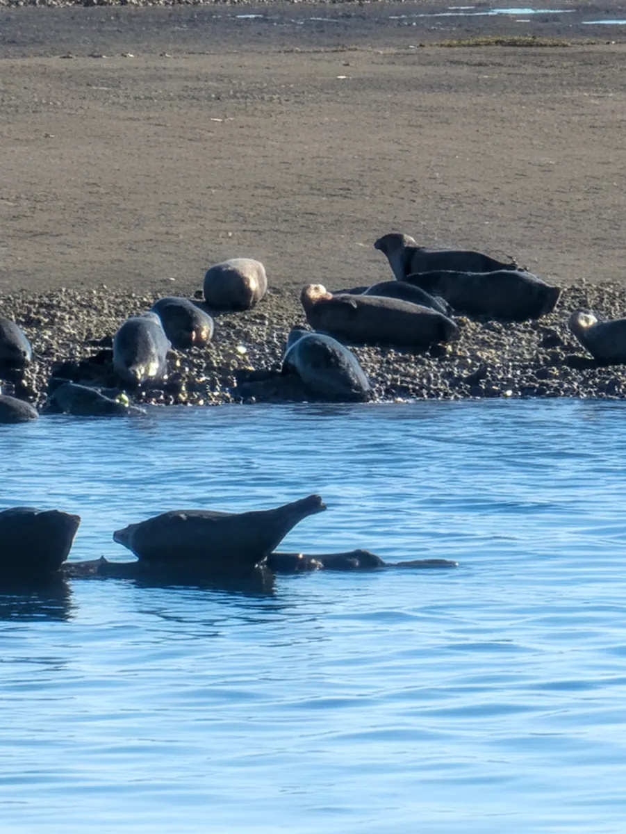
Lilliwaup was 11 miles away, and it was a long day of walking. When there are no cars on Highway 101, delightful sounds rise from the woods and the sea: the growls and chirps of the seals, the calls of the gulls, chipmunks scurrying through the leaves of the forest floor and the woodland songbirds, all blended with the sound of gently lapping waves. She tried several times to record it, but it wasn’t possible with her little phone.
At 4:30 she looked up the Lilliwaup Store. Morgan, at the Girl Scout camp, had suggested the motel behind it might be open, and the store closed at 5:00, so she called to be sure of reaching them in time. A very nice gentleman explained that the motel had closed during COVID and had never reopened.
She was wondering what to do, or whom she might ask, when she walked past a big pullout and was surprised to see a couple she had met on the road the day before. They had stopped to make sure she was all right and to ask how she was doing, and they handed her a brownie and asked whether she needed anything. She explained that she had hoped to spend the night in Lilliwaup but her options looked very slim, and asked whether they knew of any RV parks that would take a tent, or any motels nearby. They invited her to jump into the back of their truck. She had just checked the distance left to Lilliwaup, 1.1 miles, so it was easy to work out how far south they took her.
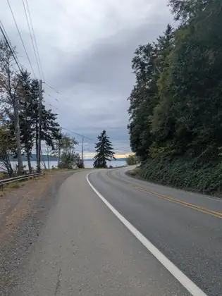
Their names, she learned, are Skeet and Edna: such a lovely, generous couple, looking out for a stranger. They stopped at several RV parks, but none would let her stay in a tent. The Glen Ayr Canal Resort was 4.4 miles from where they had picked her up, miles she would have to make up on foot. She was so grateful to them: it was late in the day, she would not have reached the Glen Ayr before dark, and the highway’s shoulder there is narrower than her backpack, so she would not have been safe.
Skeet went in with her to make sure the resort had a room, and she assured him that in case of emergency, for her safety, the Jada Bascom Foundation would pay for the night. He insisted on carrying her pack up the flight of stairs to the second floor so she wouldn’t have to, and then they said goodbye, knowing she wouldn’t see them south of Lilliwaup. She thanked them again; she treasures meeting generous, kind people like Skeet and Edna on her journey.
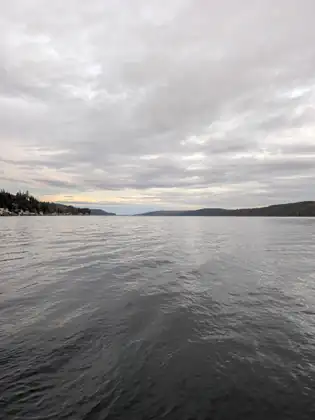
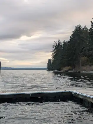
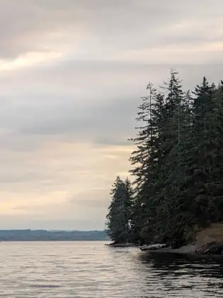
She had been in her tent for several days and desperately needed to wash her socks and other clothes, and she needed a bath too, so it was a marvellous end to a long day of walking. As always, she was grateful to charge her phone and her backup battery for the next day’s walk. While her laundry washed, she sat on the resort’s gently rocking dock for some quiet meditation. Gratitude raises your serotonin levels, they say, and her own gratitude rose from deep within, for the chance to help others and to be helped in return.
The Foundation covered her room that night at the Glen Ayr Canal Resort.
The cradle of gratitude is recognising that nothing exists independently.
Jeana Moore 
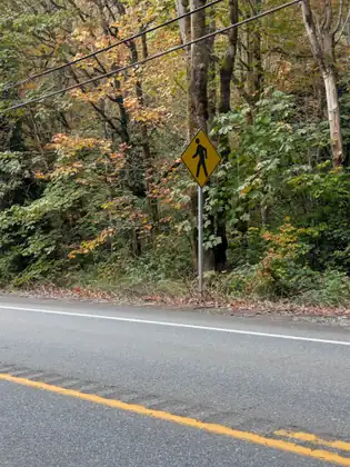
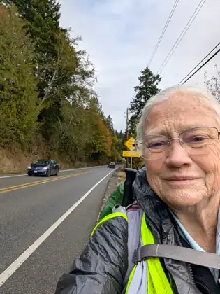
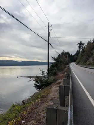
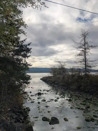
Show all 27 photos from this dayShow fewer photos

- Distance walked
- 10 miles
Breakfast at the Halfway House, and an open-air cabin at a Girl Scout camp on Hood Canal
What a long day it was. She had slept well in the social hall at the Brinnon Community Church, and alongside her morning routine she shared the names of the contacts she had been making with the Jada Bascom Foundation’s Volunteer Support Team. She feels so blessed, she says, that they are following up on all of them. You never know which contact will lead to the enrolment of a life-saving donor.
Jada’s donor, Torsten, joined DKMS because of Michaela, his girlfriend then and his wife now. In the spring of 2006 a donor drive was held in southern Germany for a woman in their region who had leukemia. Michaela wanted to join and see whether she could be that life-saving donor, and she invited Torsten to come with her. He was not that woman’s match, but all the stars aligned that day, Jeana says, because Torsten was Jada’s perfect match.
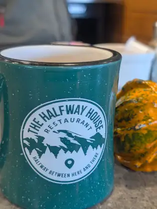
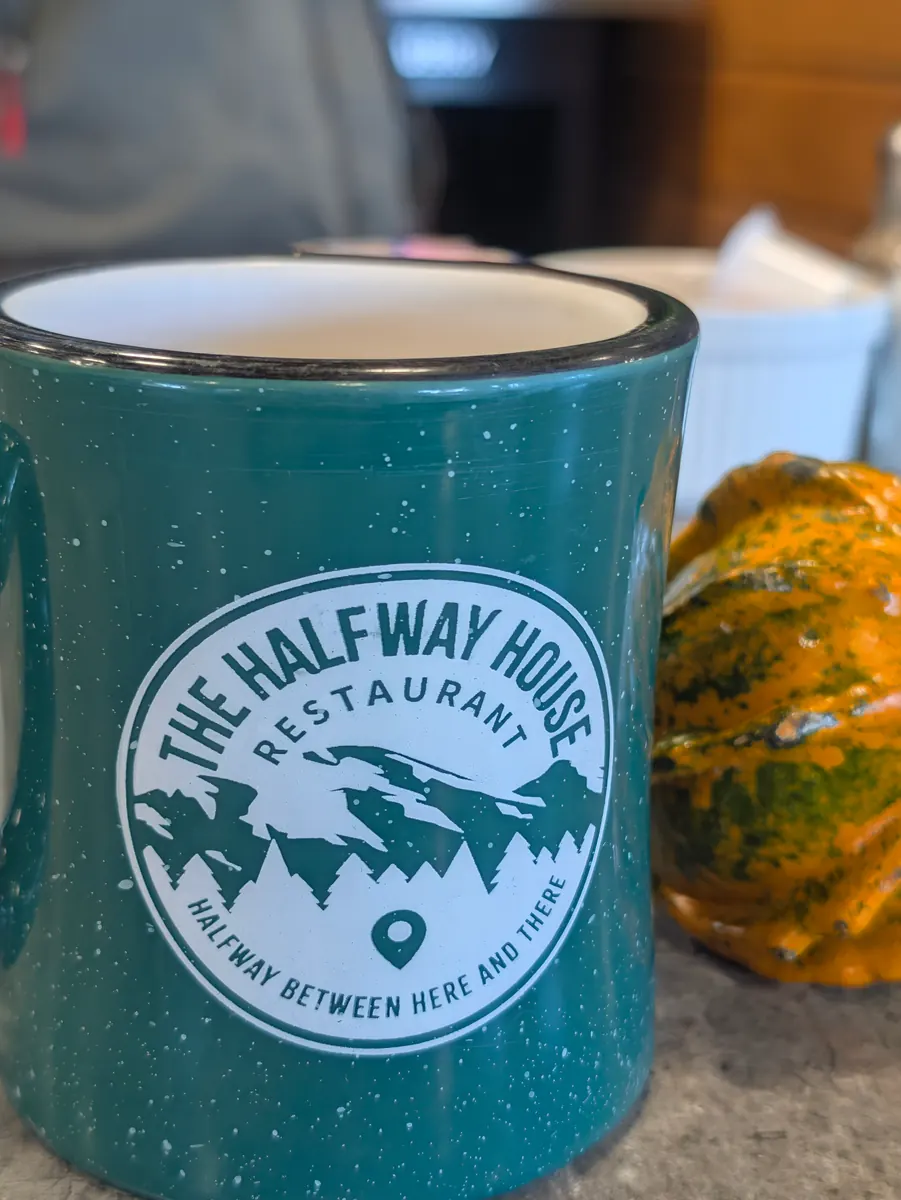
Walking through Brinnon, she stopped at the Halfway House Restaurant. They were wonderful: they fed her a protein-filled breakfast of fluffy, delicious scrambled eggs and an English muffin, and they were so moved by her story that they decided to share information about the Jada Bascom Foundation, the walk and joining NMDP, the national registry, on their Facebook page. They have 4,000 followers, so that one interaction reached a lot of people.
She walked across the street to the Brinnon Mini Market for some protein bars, because she didn’t know whether she would find any food at Triton Cove State Park. She was able to buy two little protein bars and a small bag of peanuts with money she has picked up on the road as she walks. She and the clerk carefully sorted the change from her pocket; some of the coins were so worn that they couldn’t tell what they were, and those went back into her pocket. It felt good to know she would have something to eat along the way to keep nourishing her body.
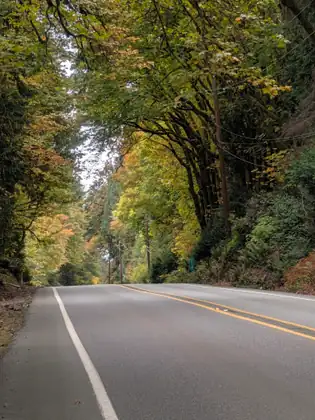
It was 11:00 before she really hit the road, but she had got quite a bit of work done for the Foundation that morning, and she felt she could still make her miles before dark. It gets dark by 6:30 now, so she had to keep a steady pace down the highway. There were steep hills up and down Highway 101 most of the day as she walked along Hood Canal.
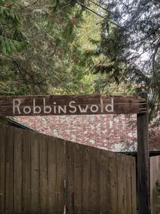
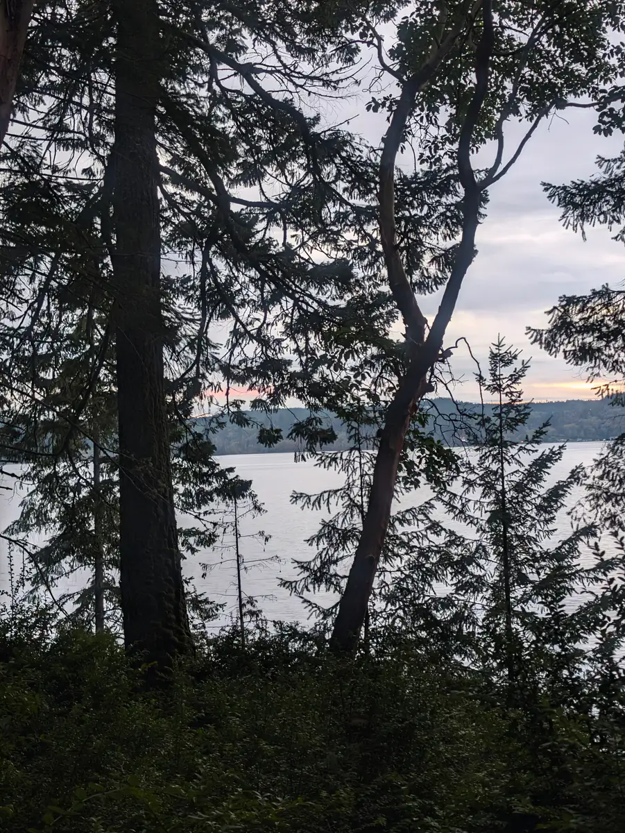
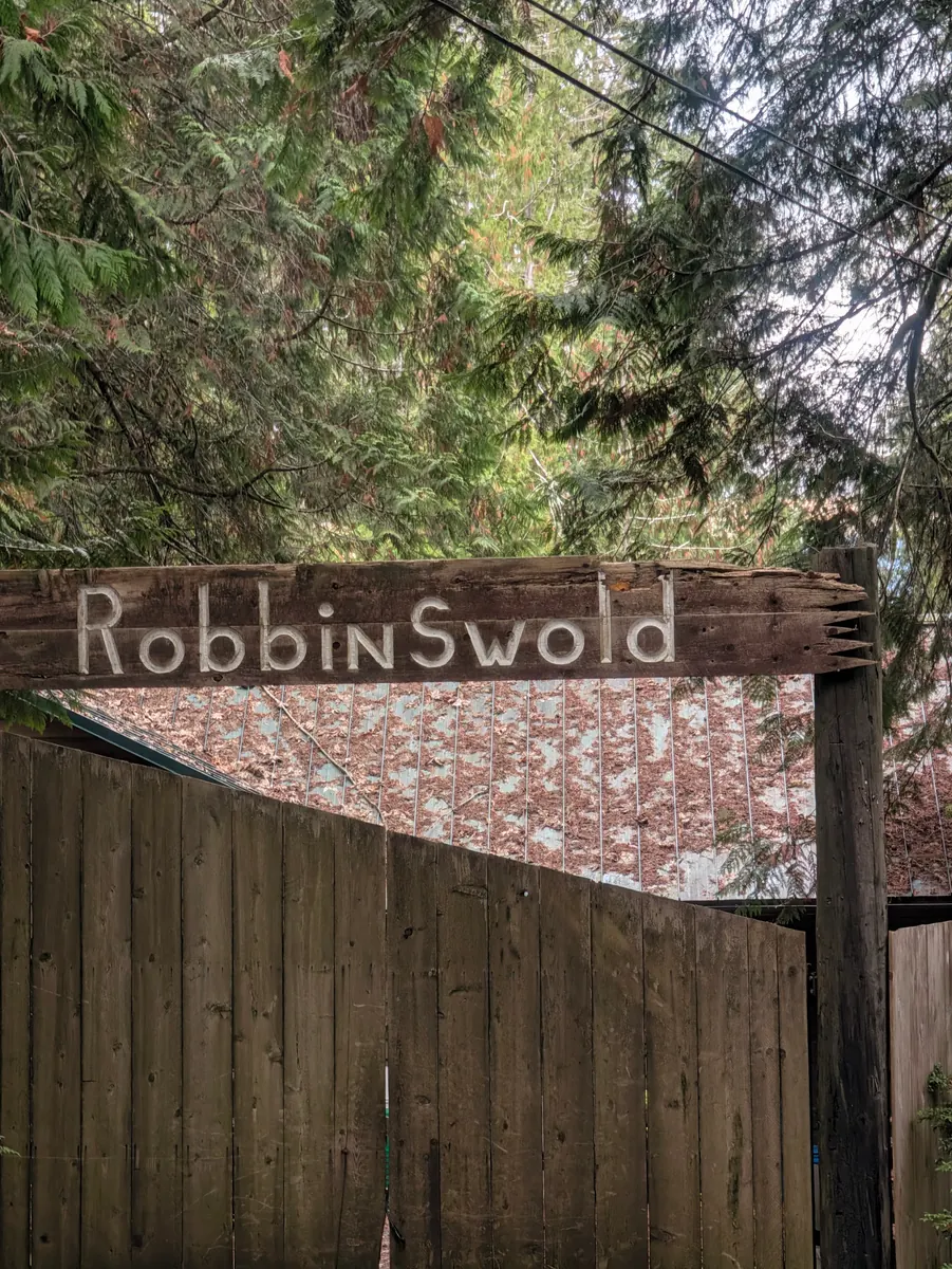
She reached Triton Cove State Park at around 4:30 and felt she could do a few more miles. She had seen Robbinswold Girl Scout Camp on the map, and walking there would cut the next day’s walk from 13 miles to 11, so she kept going, hoping that, as at many camps, someone would be looking after it in the off-season. By 5:30 it was getting very dark. Sunset wasn’t until 6:30, but with all the trees, and the sun on the other side of the mountain, it was growing cold and dark.
Coming down into the camp, she found a sign telling visitors to see the camp manager, which was perfect, and followed another sign to the manager’s home. Behind the glass door a dog was barking, and there was a car in the driveway, so she figured there was a camp manager somewhere who just wasn’t home yet, and sat down to wait. There was an outlet on the outside of the building, so she plugged in her phone and recharged her battery a bit.
Then she heard a car door shut. You know how it is, she says, when you’re out in the woods and sounds carry so beautifully in the silence. She got up, greeted the camp manager, Morgan, and explained what she was doing. He told her that he, his wife and the dog that had been barking had walked the Appalachian Trail together, so he understood a lot about her journey; he had been in similar situations himself. He offered her one of the empty cabins for the night, as long as she treated it with respect and cleaned up in the morning. That, she thought, was not asking very much. He also showed her a place to plug in her phone so it could keep charging, which she greatly appreciated.
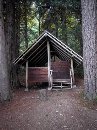
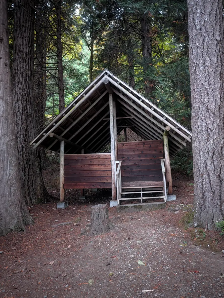
She laid out mattresses and set up her sleeping bag. The cabin was an open-air one: the walls don’t go all the way up to the ceiling, and the roof comes down low so that rain can’t get in through the gap, but that also means it can get really cold at night. She took a corner bed and tucked herself in with the mattresses so the air wouldn’t blow on her.
Morgan very kindly came down with lasagna, garlic bread, Girl Scout cookies and some Aussie Bites. She had never had Aussie Bites, which are full of oats, fruit and nuts, and she planned to have them for breakfast. He also brought a thermos of hot tea, and that felt so good, because it was getting really cold in among the trees so close to the water.
As she went to sleep, she reflected on the people she had met that day, and on the hundreds of drivers in trucks and cars and on motorcycles who had passed her as she walked. As cars pass, she smiles and waves, or puts her hand over her heart, or nods: a gesture of recognition to the human being inside each vehicle. It is a way of connecting, she says, and also a form of gratitude to the drivers who saw her on the road and slowed down or moved over a bit, taking caution and care of a stranger walking along the highway.
Her host that night was Morgan, at Robbinswold Girl Scout Camp.
Our encounters with each other can be very brief and yet intimate and compassionate.
Jeana Moore 
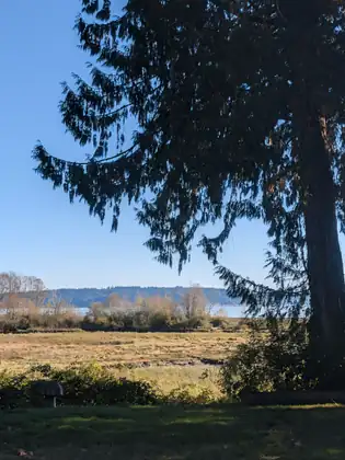
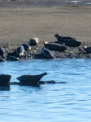
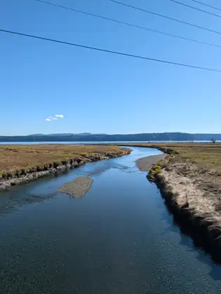
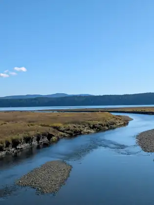
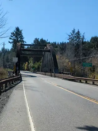
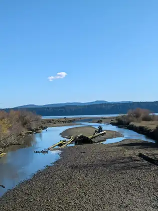
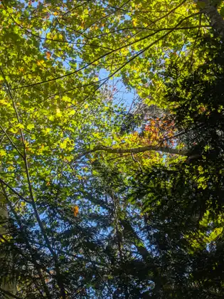
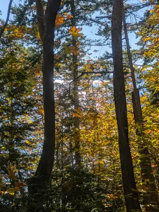
- Distance walked
- 10 miles
A ride over Walker Pass, and a church social hall for the night in Brinnon
She packed up her tent once more and got ready to walk further south, to Brinnon. Jan had given her the most amazing gift the night before: she had washed Jeana’s clothes. Jeana was down to her last pair of socks — the last pair of everything — and now her clothes were freshly washed, folded and packed away in her backpack.
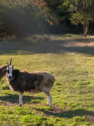
For breakfast, Jan gave her a wonderful English muffin with egg salad on it and a cup of coffee, and Jeana enjoyed their visit that morning as much as she had the night before. What an incredible woman, she says: nearly 80, raising sheep and chickens, caring for her dog and her cat, and organising the fiber festival every year. Jan is committed to her community and to improving life for others.
She had been a bit worried, she says, about this particular leg of the journey. There are a lot of miles between the towns, and on many days she can’t walk from one town to the next, so she has to stop in the middle and camp out. She had been staying in her tent a lot, as she had expected, but whenever she put it up at night she was somewhere protected, and that had kept her dry on rainy nights.
The following day would be one of those days. Lilliwaup, the next town after Brinnon, was 21 miles away, and with her heavy backpack it wasn’t realistic to walk that far, so she planned to walk somewhere between 9 and 11 miles, look for a place to camp overnight and walk into Lilliwaup the day after. She would have to be very careful about using her phone, so that it would last her the next two days.
Christie and her husband, Mark, had told her they were concerned for her welfare and her safety on Walker Pass, where there is a lot of traffic on Highway 101 and only a very small shoulder. Christie, so kind, offered to pick her up that morning, and she drove Jeana 7.8 miles — quite a way — up over Walker Pass and past the point of danger on the road.
Jeana walked into Brinnon and stopped at the community centre, where she talked to a gentleman named Jeremy. He recommended that she go up the hill to the Brinnon Community Church and talk to the pastor there about finding a place to stay for the night. It was a pretty steep hill, but she made it to the top.
Although it was Sunday, the morning services were over and the church was already closed when she got there. She was about to knock at a house she hoped was the parsonage when out came the pastor — Pastor Matt — with his wife and several children. She explained what she was doing, and he suggested that she sleep in the church’s social hall. That was extra kindness, she says, because he and his family were packing to leave the next day, and still they took time out of their Sunday, already their busy day, to help her get settled in and to feed her lunch.
Then she packed her little pack and set out to make up the 7.8 miles she had missed that morning. Rather than take Highway 101 along the bay, she picked a challenging path up and down very steep hills, and she was glad she did; it was so beautiful up in the foothills. Pastor Matt had asked whether she would come to the service and talk to everyone about her journey, so she was making her way back in time for it.
The Sunday evening service at the Brinnon Community Church was uplifting. Pastor Matt played the piano, his wife sang and played guitar, and three of their sons played instruments. The music touched her heart; she felt it was a living, sacred prayer to the divine in us all. It made her feel close to her sister, Melinda, who was an ASL visual choir director for many years.
Then Pastor Matt invited her to speak about the walk, the Jada Bascom Foundation and how to join NMDP, the National Marrow Donor Program, and she felt the congregation was receptive to her message of saving lives together. The pastor’s daughter, Keziah, prepared a light supper, and Jeana settled in for the night with a grateful heart. Her hosts that night were Pastor Matt and his family, at the Brinnon Community Church.
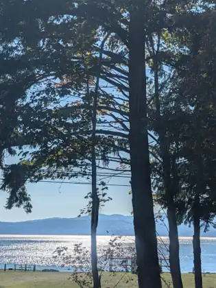
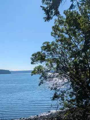
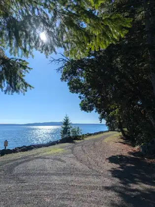
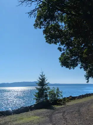
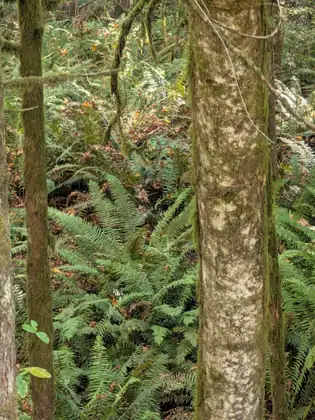
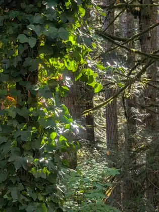
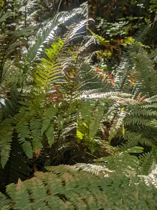
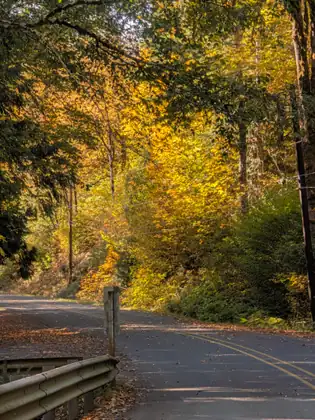
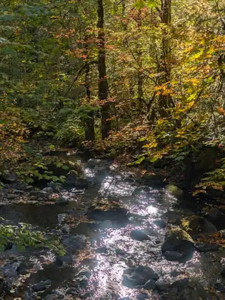
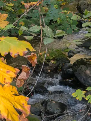
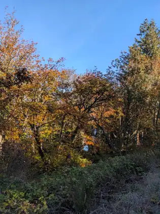
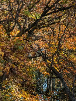
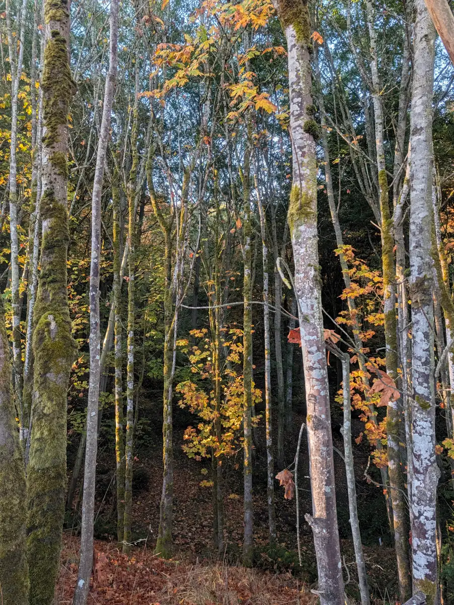
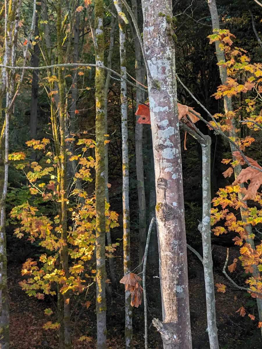
The sky is blue, the air is crisp, and the light of the sun is dancing on the fall leaves, twisting and turning in the wind.
Jeana Moore 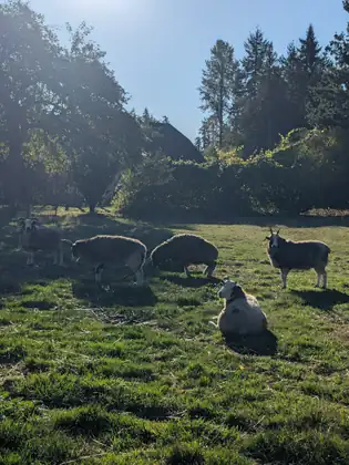

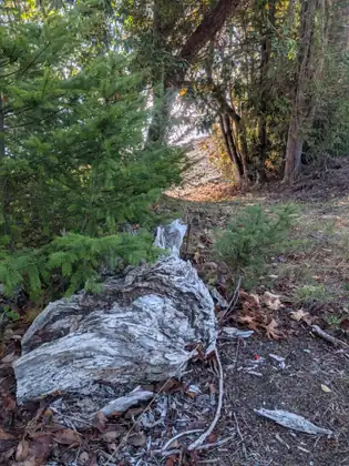
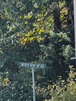
Show all 26 photos from this dayShow fewer photos
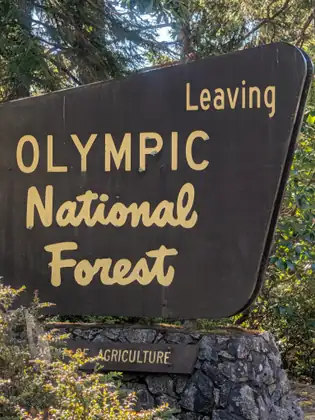
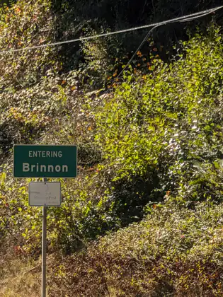
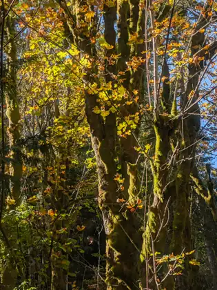
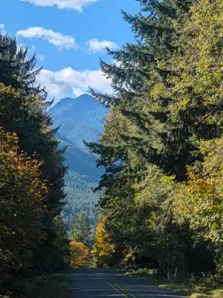

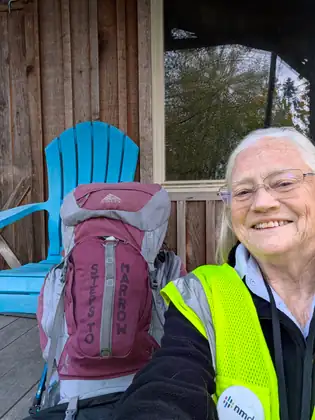
- Distance walked
- 12.2 miles
Forgotten socks that led to a fiber fair, and Jan’s sheep saying goodnight
She surely was happy to have slept inside the little shed, inside her tent, warm in her cosy sleeping bag, because when she came out in the morning it had rained, and it was still raining. It takes her about an hour and a half to pack up her tent, get all her grooming done and be ready for the day’s walk. She had her tent, sleeping bag and sleeping mat all packed onto her backpack when she saw Christie coming back from walking the dogs.
Christie invited her up for a bowl of oatmeal with pecans and maple syrup and a delicious latte before taking her to Discovery Bay to do her walk for the day. They visited about current events, told stories and talked about liner socks. One of the staff at REI had suggested new liner socks for her walk, and she loves them. Not everyone is interested in hiking apparel, she says, but Christie was, so Jeana showed the socks to Christy before putting them away.
Then they headed out for Discovery Bay. Christie explained that she wanted to drop her past the interchange of Highway 104 and Highway 101, because she didn’t feel it was safe to walk. Jeana told her she accepted her opinion as a local who knew the roads. Later she remembered that on Day 18 she had walked an extra 3.6 miles out of necessity, so she put those 3.6 miles toward the 3.0 she had missed by bypassing the interchange.
She was about halfway to Quilcene when a text arrived from Christie with photographs attached: Jeana had left her socks at Christie’s house. Christie knew how important those socks were to her walk, and she said, “Let me bring them to you, and I will take you into Quilcene and we’ll attend the fiber fair. And then on the way back, I’ll drop you where I picked you up, and you can walk the rest of the way in.” It was a marvellous idea, and that’s what they did.
The fair was great. It was very well attended, and she met so many people to talk to about NMDP, the U.S. National Marrow Donor Program, and about the Jada Bascom Foundation and the work it is doing to save lives. Christie also bought her lunch, and Jeana was so grateful, because she doesn’t always have a midday meal.
One other important thing Christie did was to introduce her to Jan, one of the women who had helped to organise the fair, and Jan offered to let Jeana put her tent in her barn that night. Christie had been magnanimous: she brought the socks back, bought Jeana lunch and helped her find a safe place to put her tent for the night.
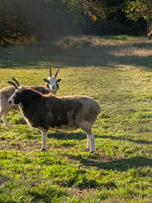
Christie dropped her back out on the road, and Jeana walked into Quilcene and made her way to Jan’s farm. Jan raises Jacob sheep. She has them sheared and someone processes the wool for her, then she spins it — and it is beautiful.
Jeana and Jan had a lot in common. Jeana is just a bit younger than Jan, and they grew up in the same era. Their paths had been very different, but they have ended up in a similar place in their lives, which felt congruent to them both. Jan gave her tea and a snack of belVita biscuits, and the sheep all came over to say goodnight before Jeana climbed into her tent.
So overall, forgetting my socks turned out to be quite a blessing.
Jeana Moore 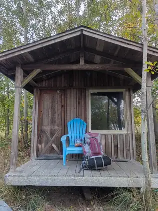
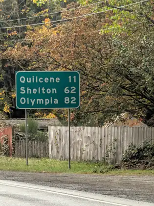
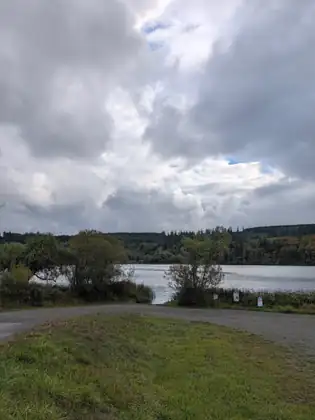
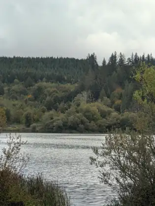
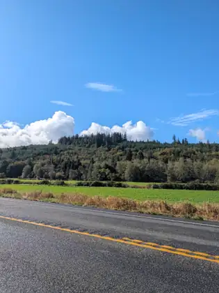
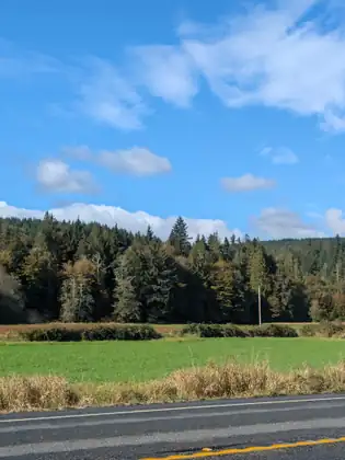
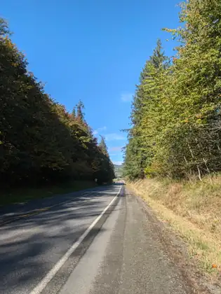
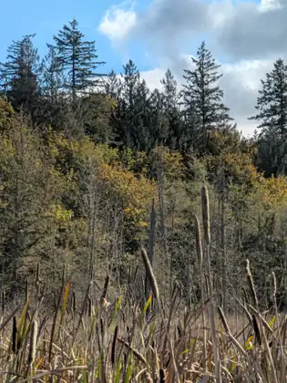
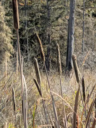
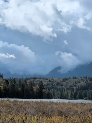
Show all 29 photos from this dayShow fewer photos
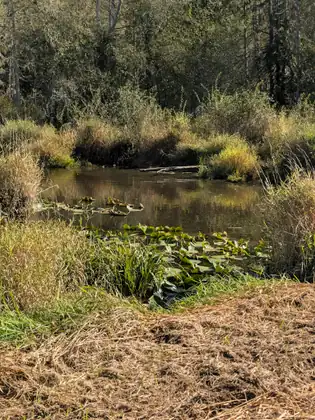
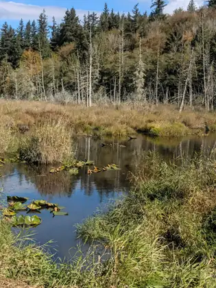
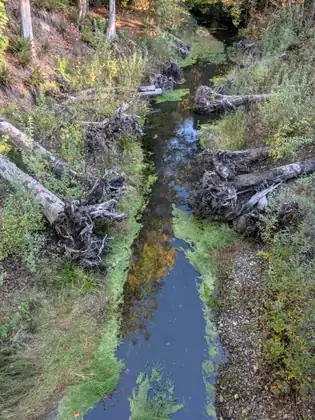
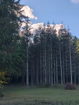
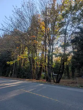
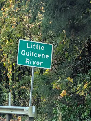
A lovely wrong turn along Sequim Bay, and a little shed in a magical garden
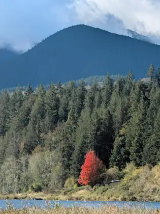
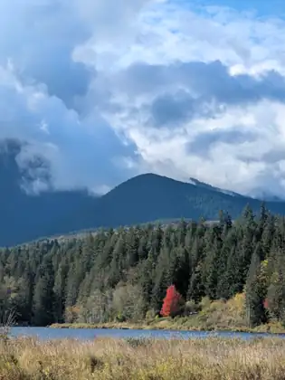
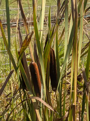
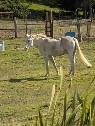
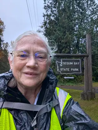
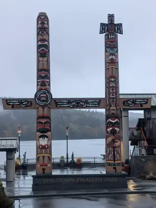
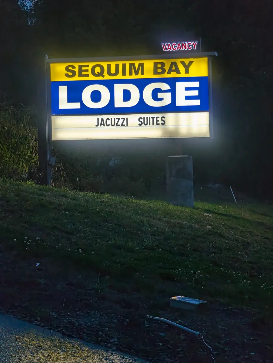
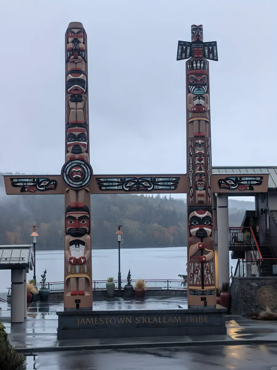
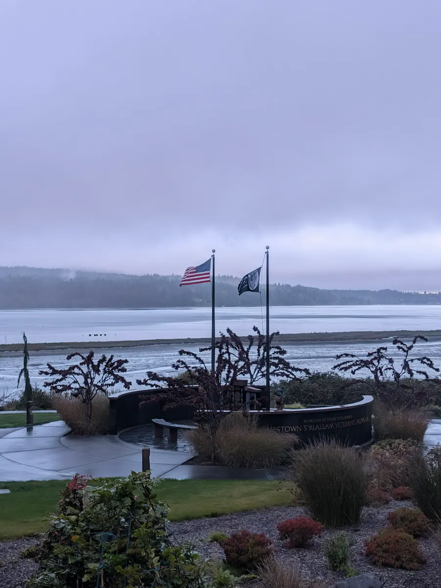
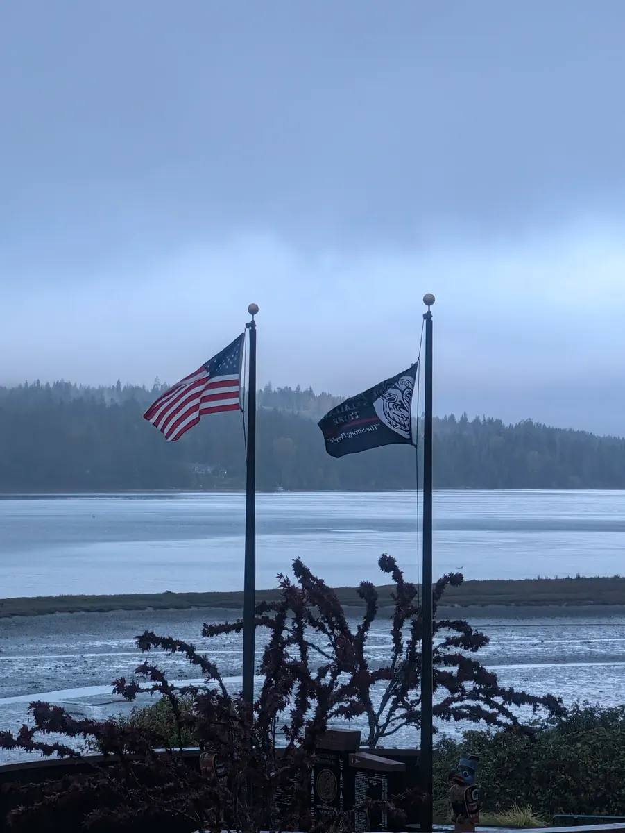
It was still raining when she woke up at the Sequim Bay Lodge. She got herself ready, rain gear and all, with the rain cover on her backpack, then walked the half mile to the bus stop and took the bus into Blyn, where it stopped in front of the Jamestown S’Klallam Tribe’s administrative offices.
She has a personal commitment to walk every mile, every step of her journey, and sometimes that takes flexibility. The half mile she had walked to the bus stop that morning was a perfect fit for the half mile between the Longhouse Market, where she had stopped the day before, and the tribe’s administrative offices. She is very careful to track her walking distances every day, she says, and she also uses flexibility and wisdom as she makes her way on her long-distance walks.
At the administrative offices she greeted Joan, the woman she had spoken to on the phone the day before, and introduced herself; it was a pleasure to meet her in person. Joan had really responded to her needs when Jeana was making her cold calls, and now she gave her a morning coffee and let her refill her water bottles and use the restroom.
As it turned out, she would need that wisdom again very early in the day. As she set off walking, she met a couple and asked them the best way to get to the highway. There was a staircase back the way she had come, and they pointed to a road that would take her to the highway in about two and a half miles. She chose the road, since it was going in the direction she wanted to go, and off she went. She is sure they didn’t misdirect her; she misunderstood, and took the lower road instead of the upper road that went to the highway.
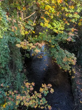
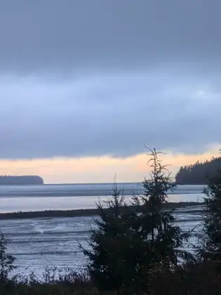
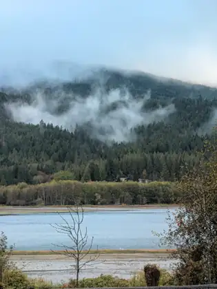
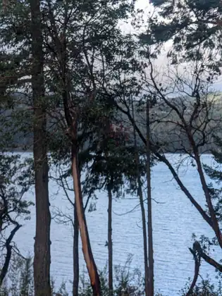
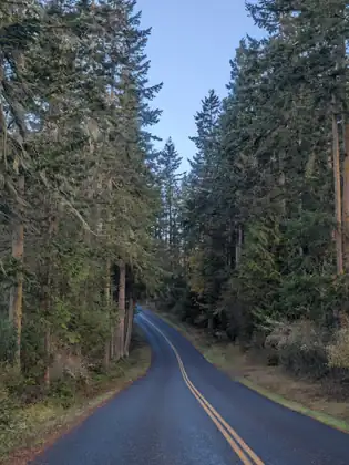
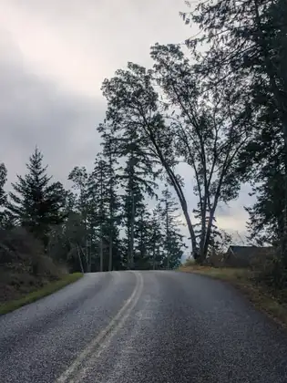
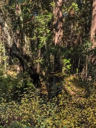
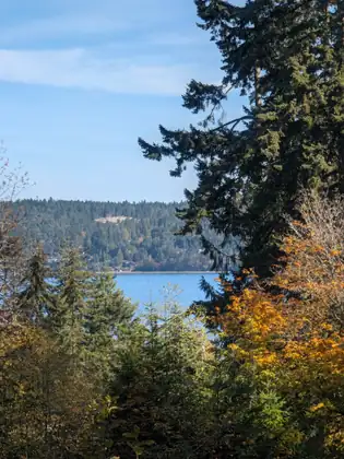
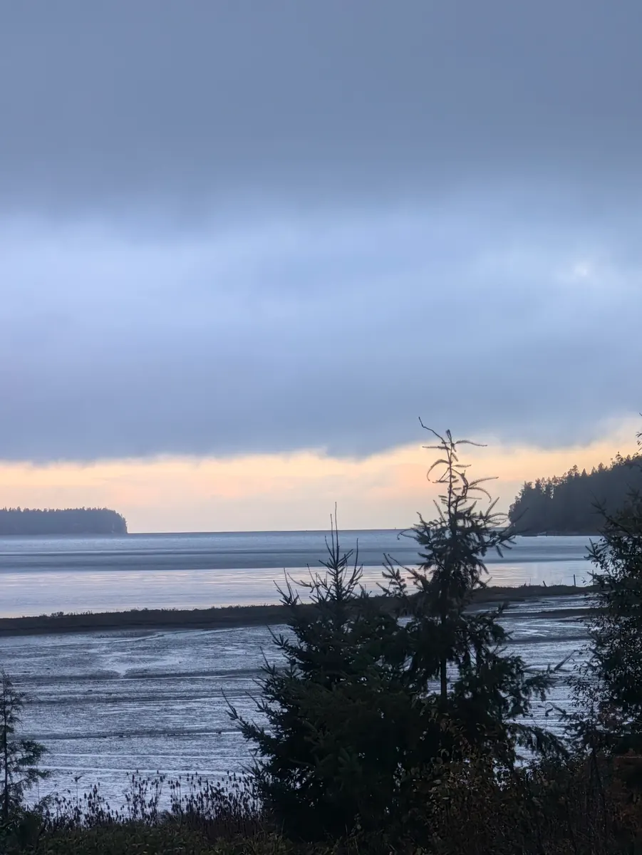
She had a beautiful walk — what a blessing, she says, to make that mistake. She walked along Sequim Bay in the forest, in all its beauty and quiet. When her apps started working again, it was clear that she wasn’t getting any closer to the highway. She pulled out her compass to double-check, and sure enough, she was headed north. The maps confirmed it: she was 3.4 miles from the administrative offices, in the wrong direction.
She had never gone the wrong way like that before, but it had been quite a lovely walk. She waved down the first car that came by and explained to the lovely woman driving it that she had walked the wrong way, that she was doing a long walk, and that she didn’t really want to add 6.8 miles to the 11 miles she needed to walk that day. Though the woman was in a hurry, late for an appointment, she took the time to let Jeana put her backpack in the car and drove her back to the administrative offices.
There Jeana told Joan she had gone the wrong way, and asked whether anyone was available to take her those 3.4 miles up the highway, so that she wouldn’t have to walk them again. Joan found a man who was willing to drive her, and he took her exactly 3.4 miles up the highway and dropped her off. She was ever so grateful to the woman who had stopped to help her and to the man from the Jamestown S’Klallam Tribe who made sure she was on her way.
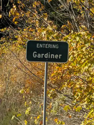
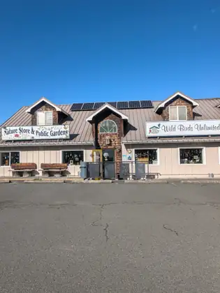
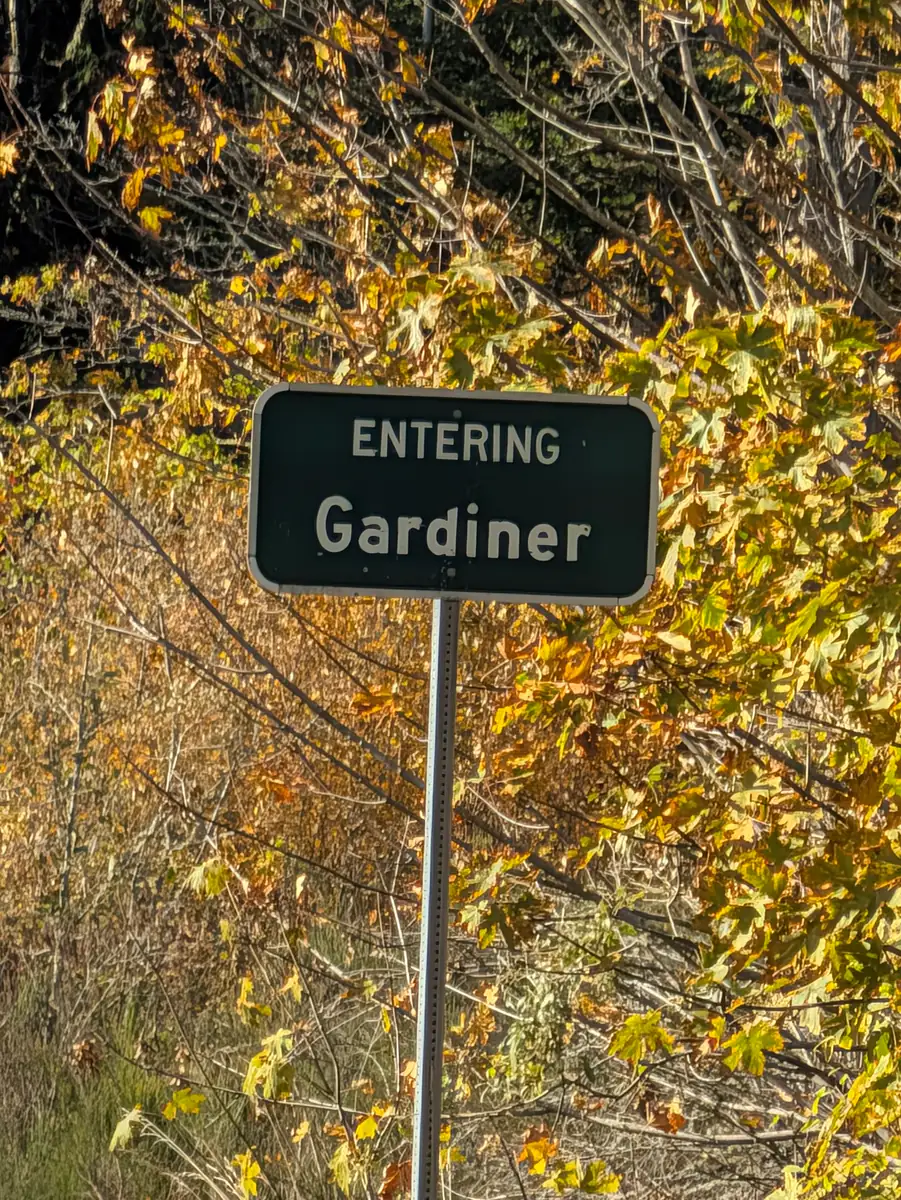
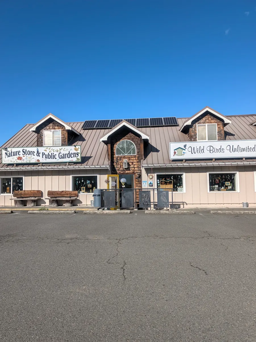
She hadn’t walked far when she came to a town called Gardiner, where two stores stood side by side right along the highway: Nature Store and Public Gardens, and Wild Birds Unlimited. She went in hoping they might have a little food, something to sustain her. All she had had for breakfast was a protein bar her trail angels had given her a few days before, and the coffee from Joan.
Inside, she was greeted by a woman whose name, she later found out, was Christy. Jeana asked whether they had any protein bars, and Christy said, “Just a minute,” ran to the back and brought out a small package of vanilla wafers and an oat and nut bar. Then she asked Jeana whether she needed a place to stay. What an amazing gift: it turned out she had a little shed at the back of a beautiful, magical garden, and she offered to let Jeana stay there for the night.
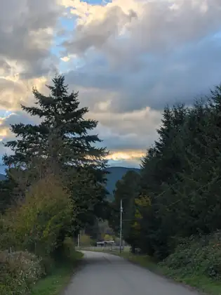
Jeana still had 6.5 miles to walk, but she wasn’t about to turn down a safe, dry place to spend the night. Her host showed her where to put her big backpack, and with her little backpack on, Jeana walked 3.25 miles down the hill and back up again — her 6.5 miles into Discovery Bay. Christie had also told her that she would drive her to Discovery Bay in the morning. There are so many days when she doesn’t know where she will be staying that it was lovely to know, early in the day, that she had a safe place to lay her head.
Most of the route going south was downhill, so the way back was all uphill, but without her heavy pack it was a breeze both ways.
There are times, she says, when she records a journal entry as she walks, or calls folks about the business of the Jada Bascom Foundation. But much of her walking is done with a quiet mind, with the noise of the traffic, the wind in the trees and whatever is happening around her. When she is walking, she writes, she is never truly alone; she is connected to all that is.
There are also times when she feels the pain of the backpack in her shoulders, or walks in a state of exhaustion, so tired that there is nothing but walking and it takes complete focus to put one foot in front of the other. Walking, she says, is a reflection of her daily life, of recognising where she is: a scattered mind, painful emotion or physical pain, desire, a quiet mind, compassion.
Christie brought bread and cheese, fruit and carrots to the little cabin for her dinner. Jeana set up her tent for an extra layer of warmth, ate with fervour, and fell asleep protected, dry and warm. Her hosts that night were Christie and Marc.
Stripping away the scattered thoughts or the stories about daily life, what is left is the simple fact of movement, gravity, breath, and the ground beneath me.
Jeana Moore 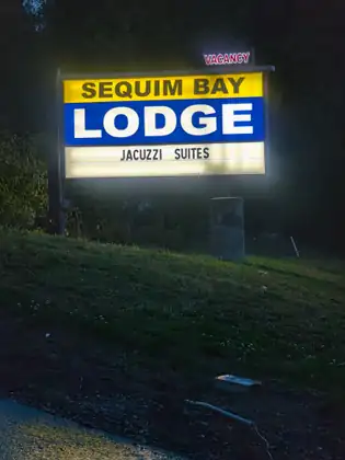
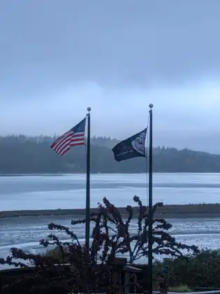
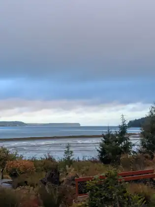
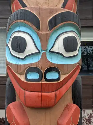
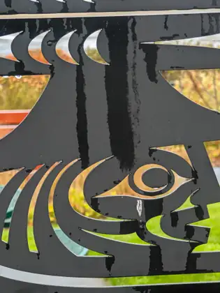
Show all 25 photos from this dayShow fewer photos
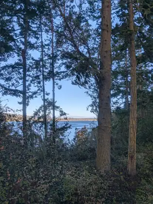
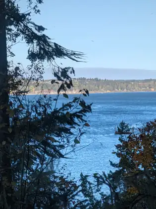
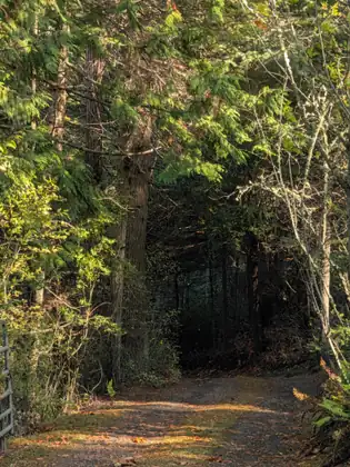
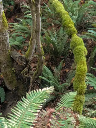


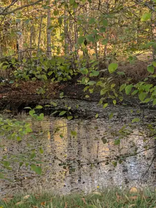
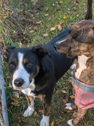
- Distance walked
- 11 miles
Cold calls to the Jamestown S’Klallam Tribe, and a dry night at Sequim Bay Lodge
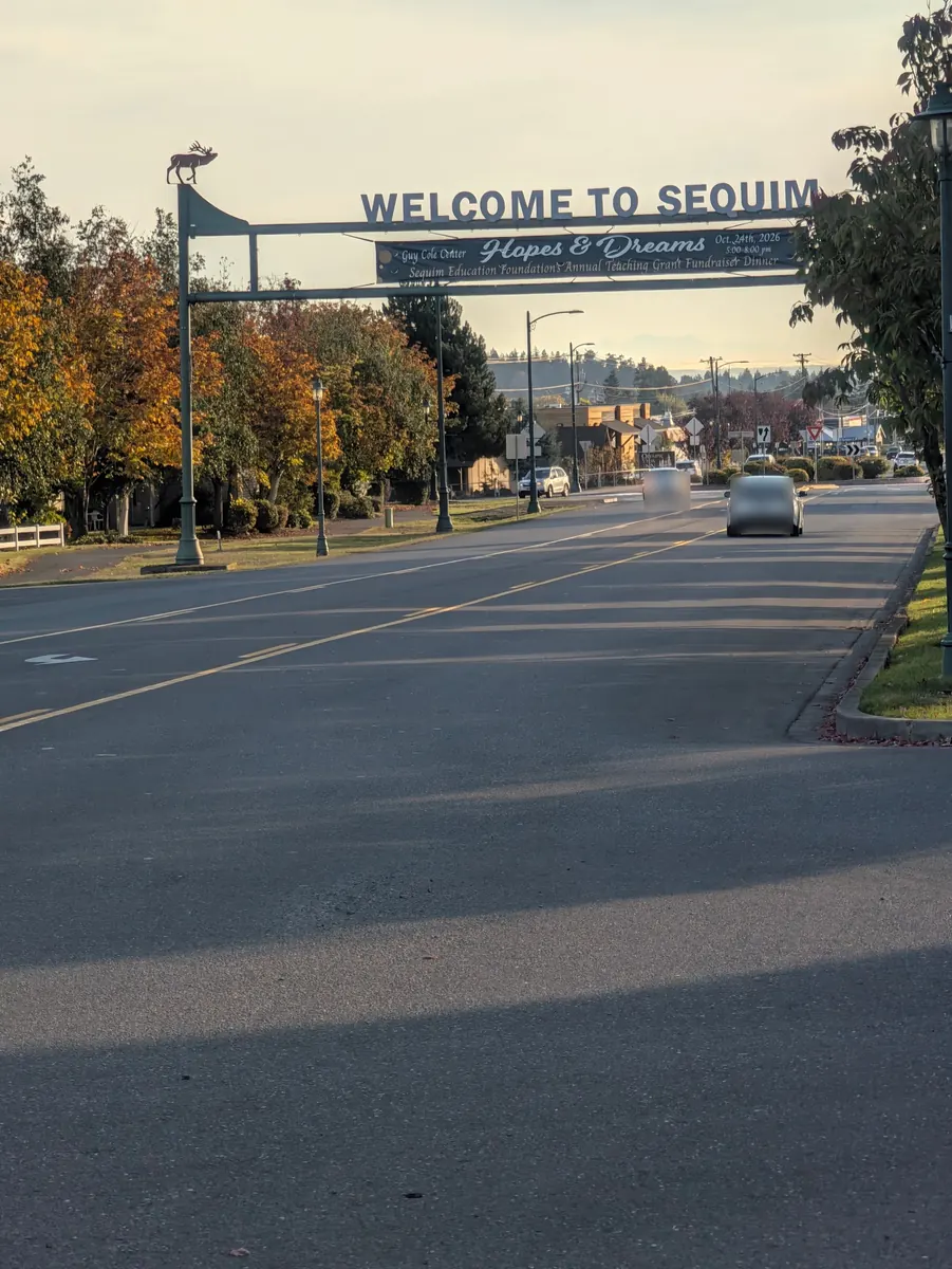
She got up early and left her backpack in her room at the Olympic View Inn. She caught a bus, then walked the 2.7 miles back to the hotel. As she came into Sequim she stopped at Starbucks, where they gave her a lovely breakfast sandwich and a cup of coffee. She is always grateful, she says, for nourishment in the morning before a long day’s walk.
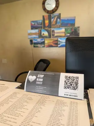
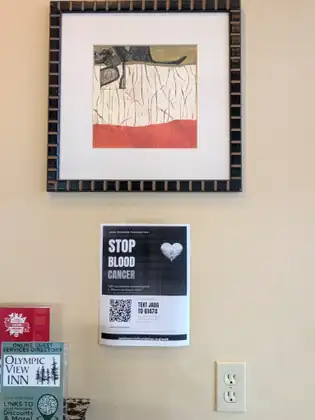
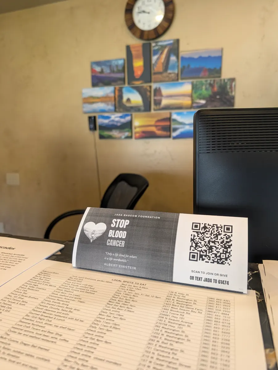
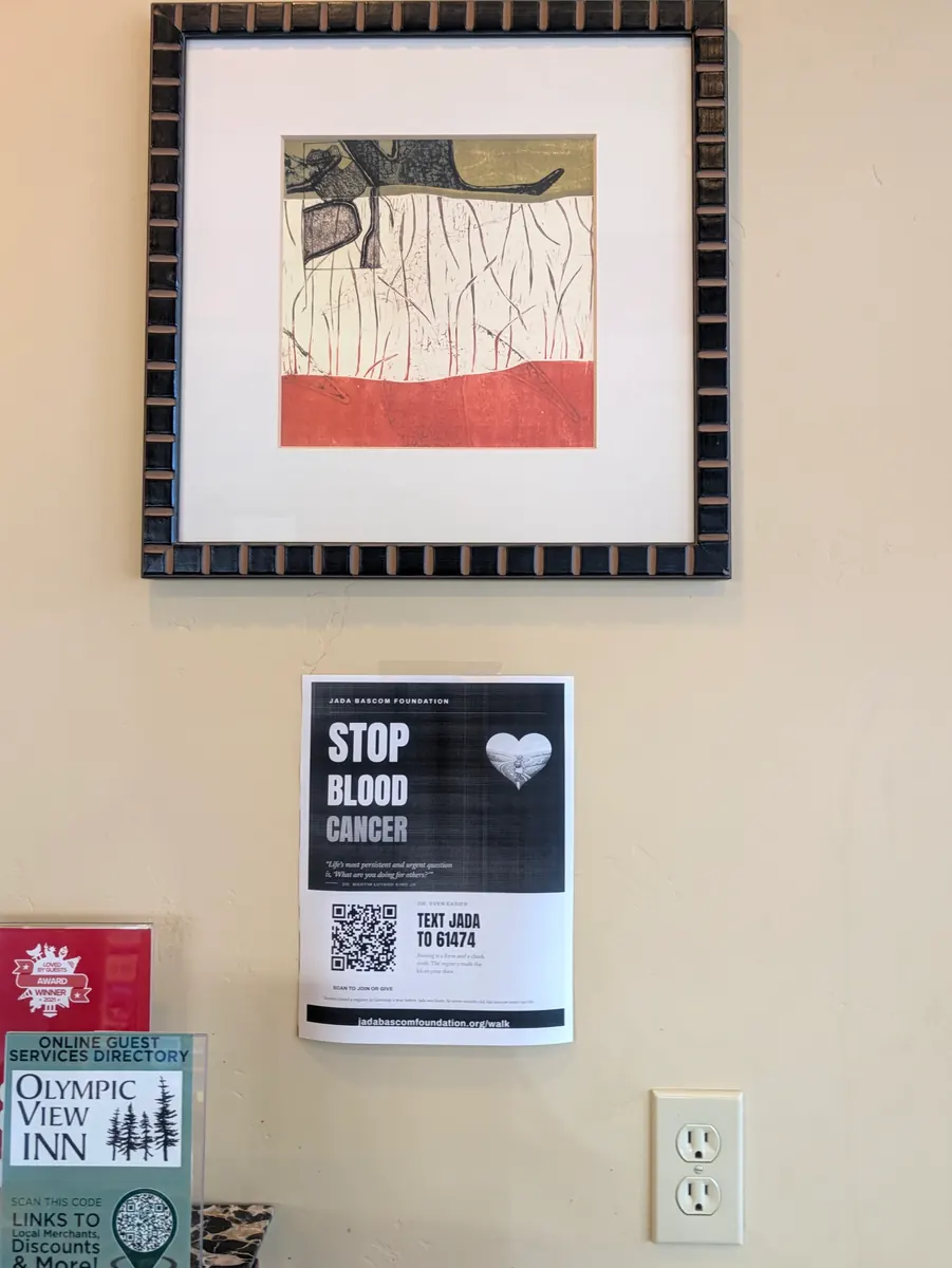
When she went to check out, she noticed that Amie, the clerk at the desk the night before, had printed out a poster from the Jada Bascom Foundation website telling people how to join NMDP, the National Marrow Donor Program, and hung it on the wall. Amie had also printed out a little table tent, which was sitting on the counter.
She was so pleased to see people using the resources on the Foundation’s website. Think about a place, she says, where you might put up a poster or a little table tent that tells people how to join the national registry and save a life.
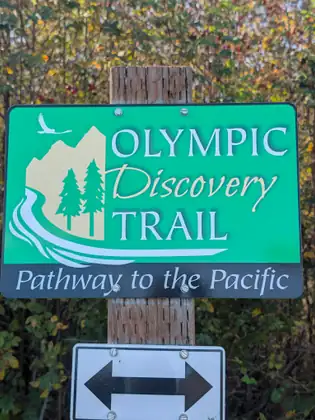
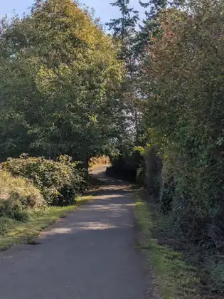
It was a wonderful walk, mostly along Highway 101, with stretches where she could walk the Olympic Discovery Trail. Just over halfway, she stopped at the Jamestown S’Klallam Tribe’s water company. There wasn’t anyone there, but there was a nice bench out front, and she sat down to change from her hiking boots into her walking sandals.
She also started phoning the tribe to share information about how to join NMDP. On a cold call, she says, the first person to pick up can make all the difference. A lovely woman named Joan answered and very kindly transferred her to all the right people. First Joan put her through to a woman named Lonnie, and Jeana left Lonnie a message about the possibility of a place to stay for the night.
Then Joan transferred her to the tribe’s medical department, where she spoke to a woman named Victoria. Victoria really got what Jeana was talking about: the importance of diversifying NMDP enrolment for underrepresented populations. She promised to send the message further up the chain, and Jeana and the Foundation now have contact information to follow up in the future.
She hopes her team at the Jada Bascom Foundation — a team of volunteers, she points out — can help her follow up and find out whether the information could go into a newsletter for tribal members and onto the tribe’s website, and whether posters or a little table tent from the Foundation’s website could be printed out. Dreaming big, she wonders whether they might even arrange a bone marrow drive where tribal members could join NMDP. There are lots of possibilities, she says, to continue these life-saving efforts.
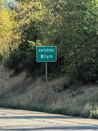
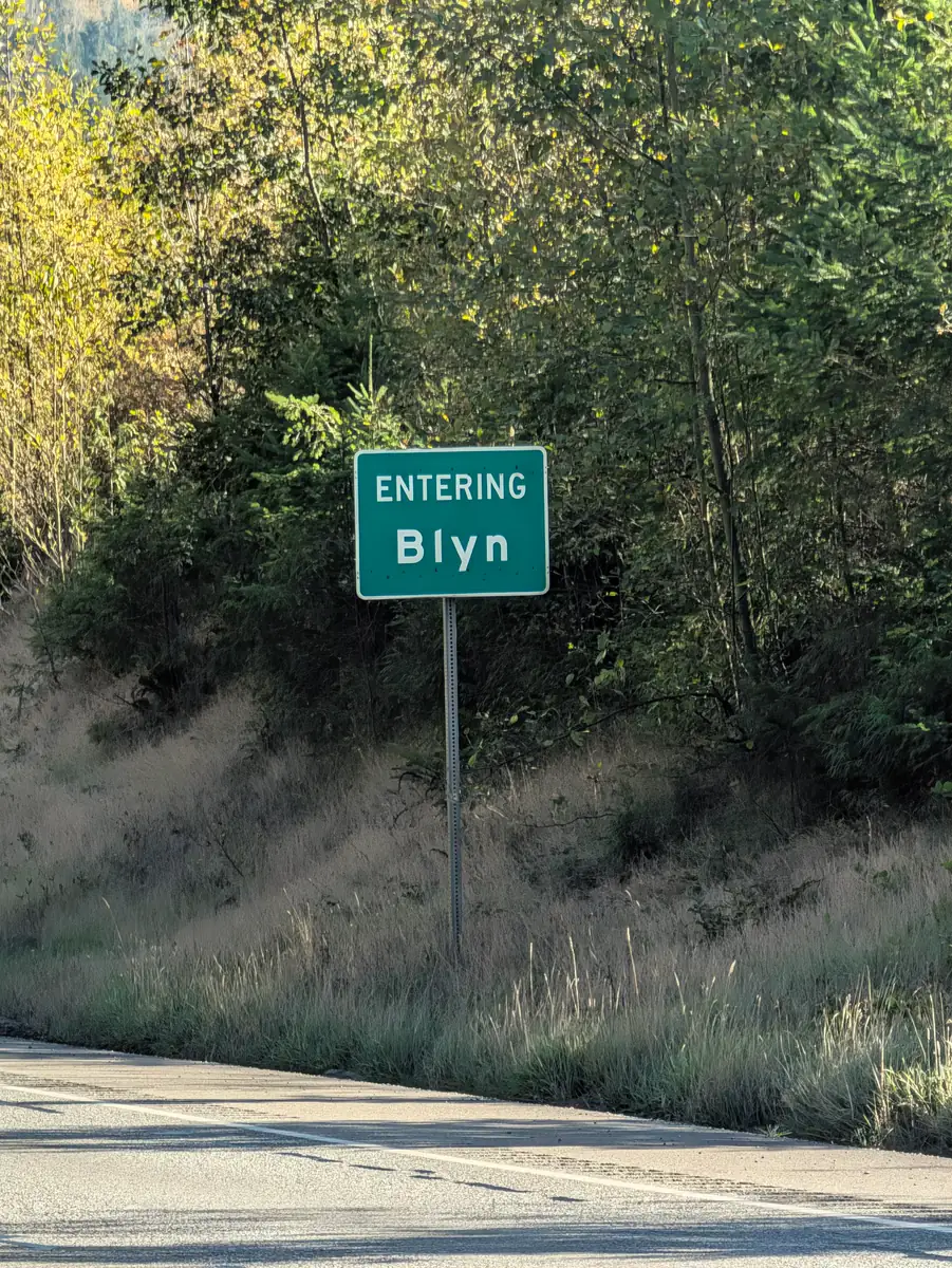
After a substantial rest, she carried on toward Blyn. Just as she came into Blyn she reached the Jamestown S’Klallam casino, but they weren’t able to help her with a room for the night. A woman at the front desk explained that even though it carries the tribe’s name, it is run by a company whose policies would not allow it.
It was just 0.8 miles farther into Blyn to the Longhouse Market, where she stopped. The manager answered her need for a meal with a beautiful panini of tomato and various cheeses. It was delicious.
She had already run out of places to try in Blyn, but she had one more idea. She called the police department to ask whether there was an appropriate place to put her tent for the night. She prefers knowing, she says, that no one will show up in the middle of the night to ask her to move on.
An amazing young officer happened to be close by, so he arrived very quickly. Officer Mike listened as she explained what she was doing and what she was looking for, and confirmed that there was really nowhere in Blyn for her to put her tent. She suggested walking outside of town to try to find a place, but he thought it might be better to backtrack: there was a campground about two and a half miles back and a motel three miles back, and he offered to give her a ride to either one.
As they talked, it came up that a bus ran into town, which she could try to catch in the morning. So she asked the Foundation to host her for the night, and stayed at the Sequim Bay Lodge.
She was thankful for advice her daughter, Issa, had given her about three weeks earlier: “Mom, please make sure to take care of yourself and arrange housing that will keep you safe and dry.” As she weighed the campground against the lodge, Issa’s voice came to her, and she chose the lodge. She was so glad she did: in the night it began to rain, and she surely was happy not to be in her tent.
When you are making cold calls the first person to answer the phone can make all the difference in the world.
Jeana Moore 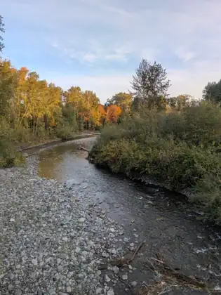
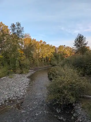
Show all 32 photos from this dayShow fewer photos
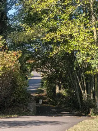
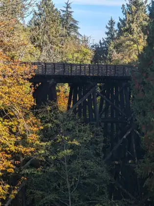
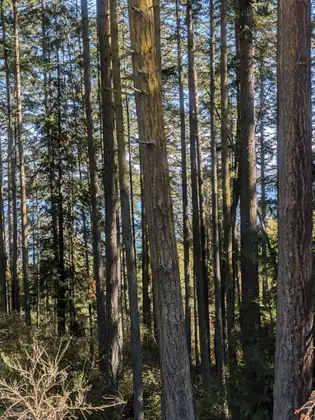
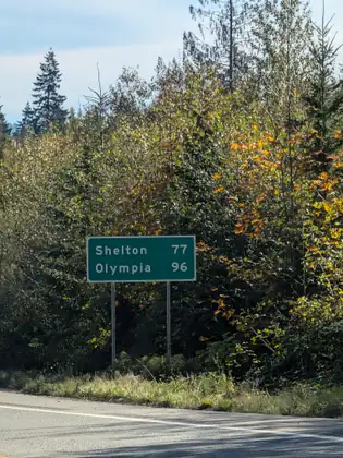
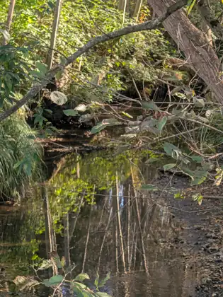
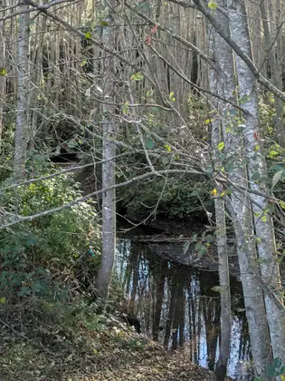
- Distance walked
- 10.4 miles
Two trail angels on bikes, and a free bus into Sequim
She was so grateful for a safe place to stay the night before, and to the Holiday Motel for providing a room. She was able to start her day well rested. Not far down the way she stopped at a McDonald’s, and they gave her an egg and cheese McMuffin and a coffee for her breakfast.
As she was leaving, she asked a man which way he was going. He said he was going downtown, and she told him she was going in the opposite direction. Then she explained that she was walking, and that the night before she had walked two miles that she would now have to backtrack over. She thanked him, said that she would be fine, and just went on.
She didn’t mind doing the extra two miles, though it was a long day of walking. It was supposed to be 12 miles, but it turned out to be 14 in the end. She walked along Highway 101, which was quite busy and quite steep, but she felt fine. She ended up taking the Old Olympic Highway, which was kind of nice: much quieter than Highway 101, though still very busy. Somewhere along the way she tweaked her knee, taking her pack off and throwing it back on.
In the afternoon, with many miles still to go, she sat down to change out of her walking sandals and back into her hiking boots. She was in her stocking feet when she heard someone across the road — just a little two-lane highway — say, “Do you remember me?” She turned around, and it was the gentleman from McDonald’s. He asked, “Do you still need that two-mile ride?”
She quickly put everything back into her pack, grabbed her boots and ran across the road. He gave her a ride to exactly the two-mile mark, so on a day meant to be 12 miles she was spared two miles she had already walked, which was a lovely thing. His name was Kevin, and he was very kind to pay attention and help her out.
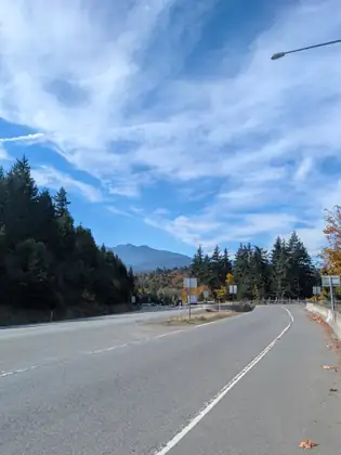
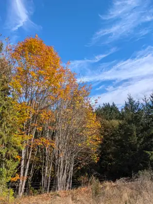
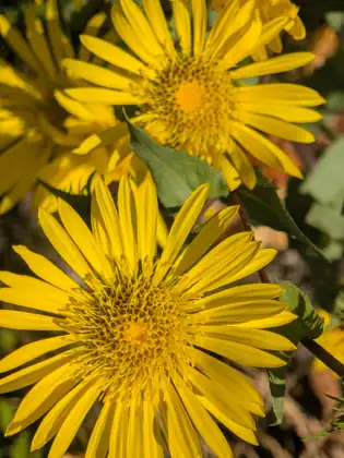
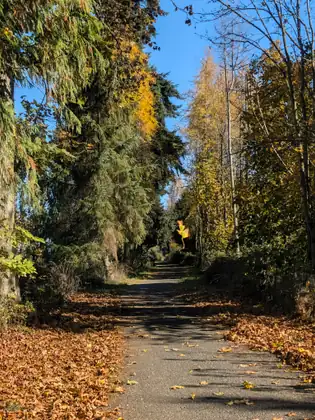
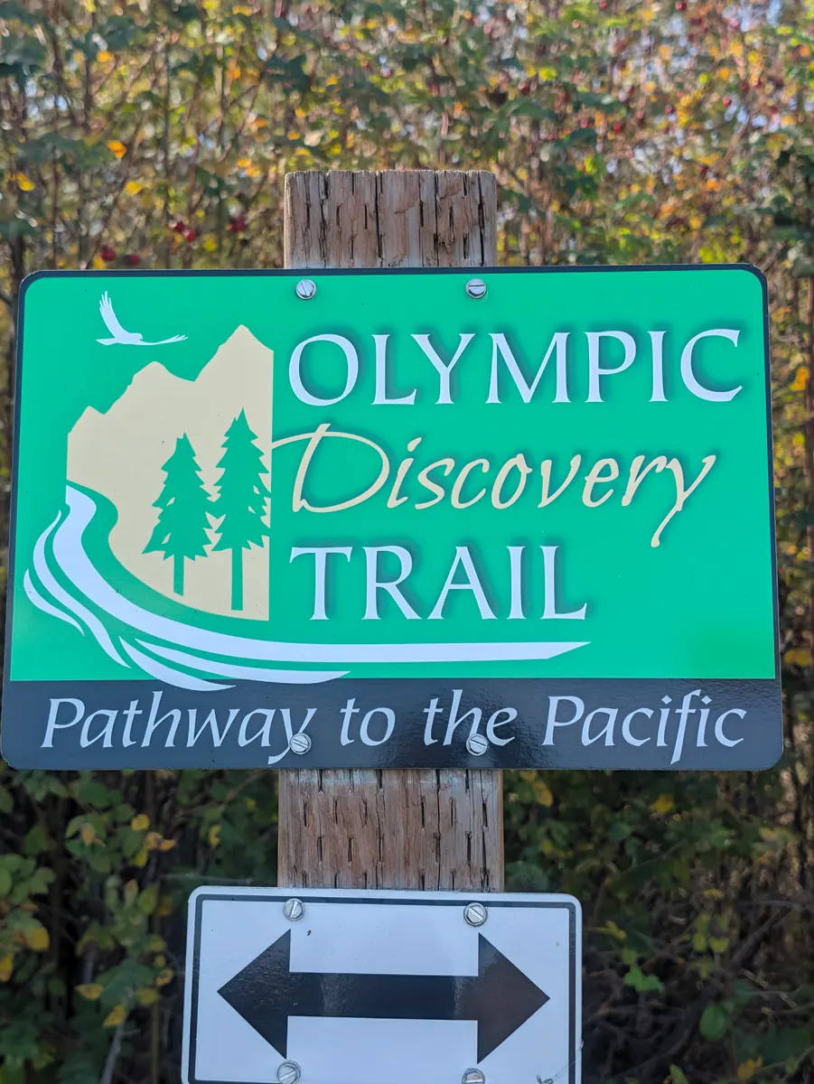
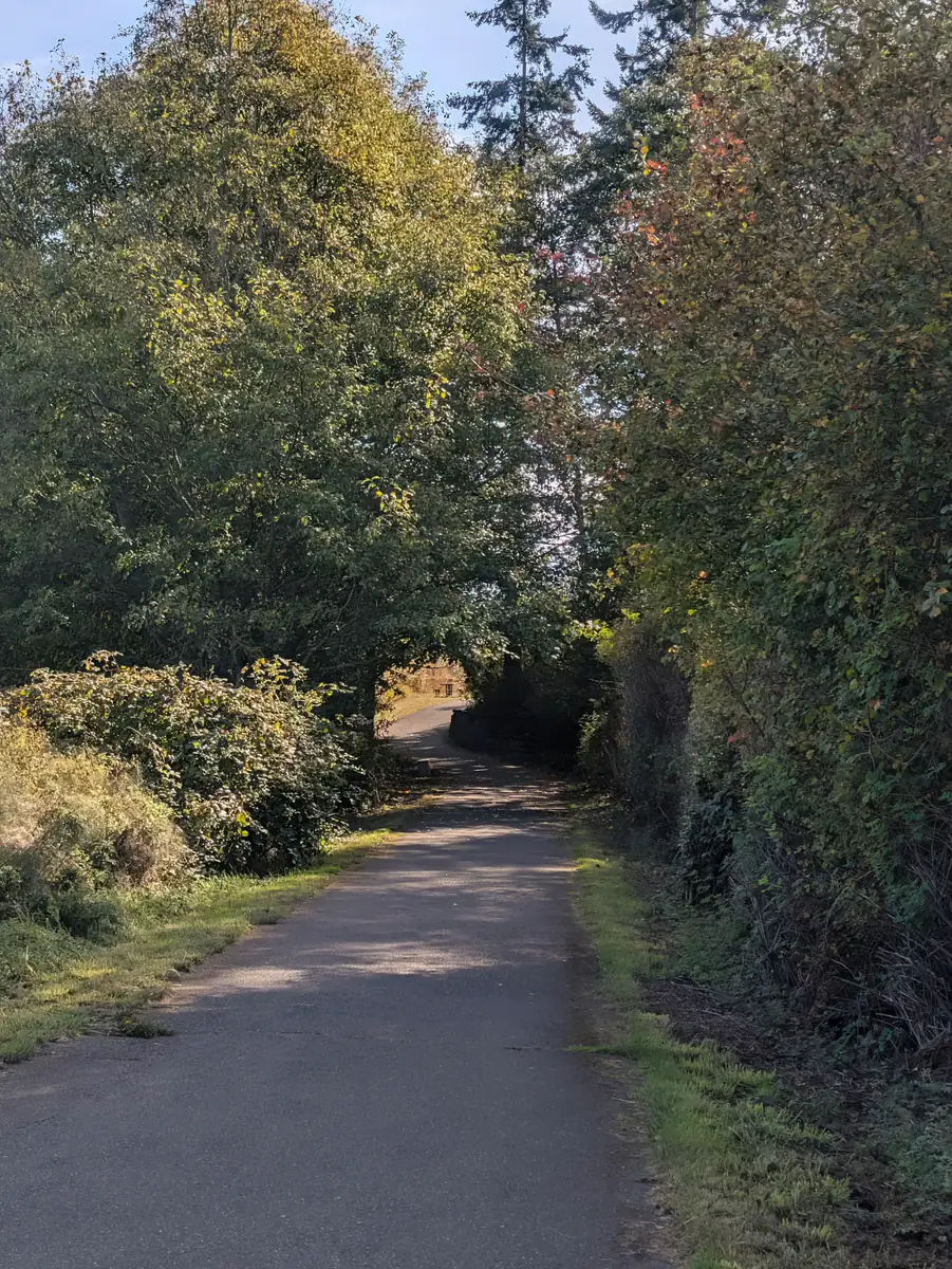
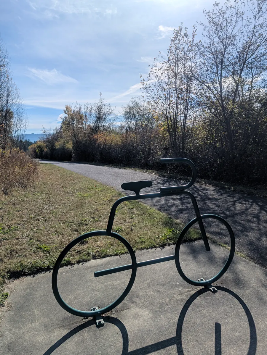
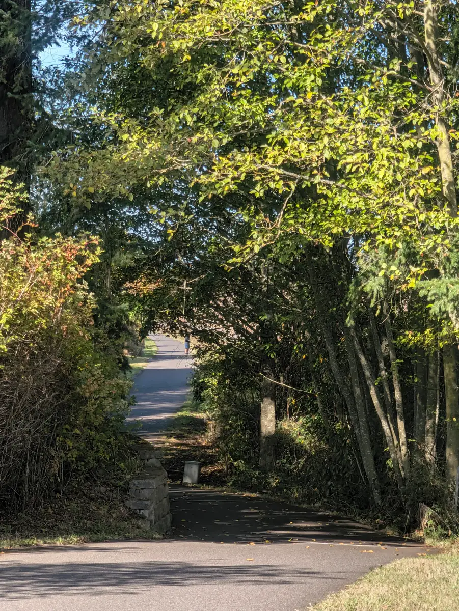
She carried on along her route and ended up on the Olympic Discovery Trail, where there were lots of hikers, bikers, walkers and runners with dogs. It was such a lovely day that a lot of people were out.
She ran into a couple on bikes who stopped to see what she was doing. Lots of people stop, she says, but stay on their bikes with their feet on the ground; they don’t dismount. She tells them what she is doing and shows them the QR code around her neck. But Katia and Randall got off their bikes, really wanting to learn more, and the three of them visited for probably half an hour, right there on the side of the trail.
She calls them her trail angels. They were like a pharmacy, a little fast-food place and a market all in one, right there on the trail. Because she had tweaked her knee, Randall gave her a little packet of Biofreeze to put on it, and it did help to relieve the pain. They gave her protein bars for later, and apples and nuts for a snack there and then.
They talked about the walks, about Jada and about the importance of joining NMDP, the national registry. Katia and Randall shared their own stories with her too. It was a marvellous visit. She was very moved by their compassion and their genuine concern for her welfare. She didn’t ask for anything; they just said, “I have this, can you use this?” It was a beautiful meeting, a heavenly meeting on the trail.
As they were parting, Katia said to her, with a sincere heart, “If you are in trouble, here is my phone number, you call me.” She would come, Katia said, and she meant it. Jeana received that with gratitude and told Katia that if she was in trouble, she would call. It was a lovely reassurance for the last legs of her journey.
Nearing the end of her walk on the Olympic Discovery Trail, she left it at Carlsborg. She ran into a gentleman who recommended that she stop at the Old Mill, because he believed it had little cabins as well as food, so there might be a place for her to stay. She did stop, and they offered to feed her a wonderful meal, but they couldn’t help with housing, because they no longer took care of the cabins; someone else did. She left a message for that person but got no answer, and rather than wait, she decided she had better keep moving.
She tried the first fire station she saw, but they weren’t able to help her. She stopped at a church, and then at the second fire station, at the end of Carlsborg. She was beginning to tell the firefighters there what she needed when they got an emergency call. She told them to run, and went on her way.
Having exhausted her possibilities in Carlsborg, she started toward Sequim, a much larger city, where there would be more options. But it was starting to get dark, it was over two miles, and she was on Highway 101, which she didn’t feel safe walking at night because of the amount of traffic.
She searched for hotels and found one at the lower end of the price range, and the Foundation covered her room for the night at the Olympic View Inn. When she called, a lovely young woman named Amy answered the phone. Jeana told her that she was walking and didn’t feel safe on Highway 101, and Amy said, “Take the bus, it’s free.”
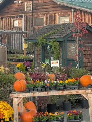
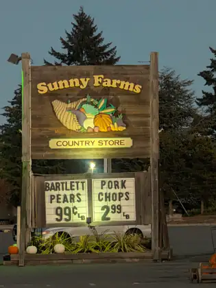
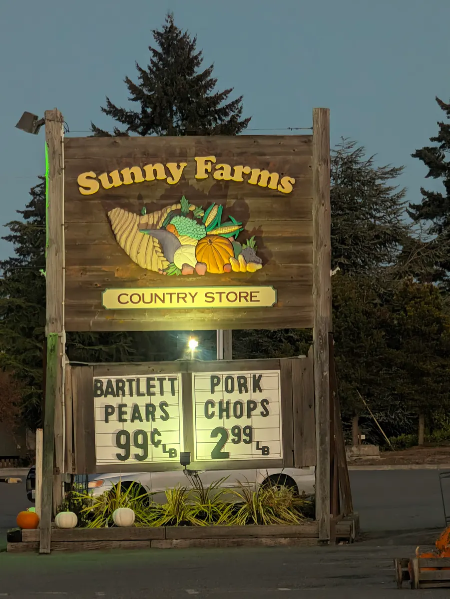
So she walked back from where she was, at the Sunny Farms Country Store, to the bus stop, and in no time she was in Sequim. Her plan was to take the bus back out in the morning and walk into Sequim.
At the Olympic View Inn she was greeted by Amie, who helped her check into her room. As she did, Jeana told her the story of why she was walking. Amie came very close to tears and shared that she had a friend whose brother was at Seattle Children’s Hospital, fighting leukemia. He was in the chemotherapy phase of his treatment, and the family was overwhelmed by the medical crisis — something Jeana’s own family knows well.
When a loved one gets sick with a blood cancer or a blood disorder, she explains, most folks are not used to the medical vocabulary or the procedures that need to take place, and a myriad of medical, financial and emotional concerns they are not prepared for are suddenly thrust upon them. You truly are, she says, a stranger in a strange land. She was moved by Amie’s care and concern for her friend’s family and for her friend’s brother at Children’s Hospital, and by her genuine expression of love for them all.
Having met so many amazing folks along the way — her trail angels, a lovely woman at the Old Mill Cafe who fed her, and dear Amy, with her selfless expression of love for others — she went to bed trusting deeply in the goodness of people: the genuine care and concern expressed by one human being to another.
I went to bed with a deep sense of trust in the goodness in humanity.
Jeana Moore 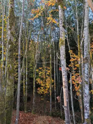
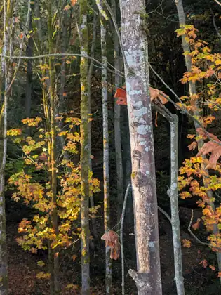


Show all 22 photos from this dayShow fewer photos
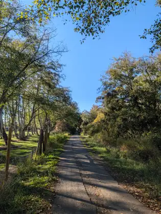
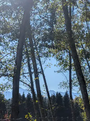
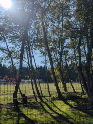
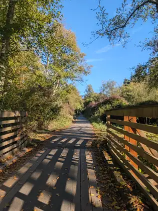
- Distance walked
- 14 miles
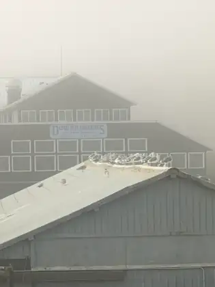
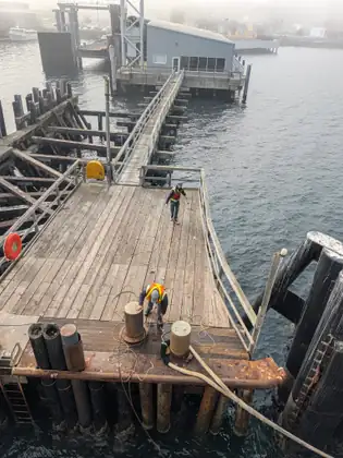
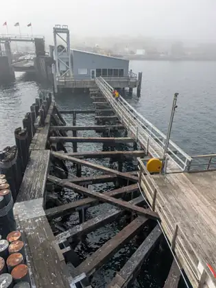
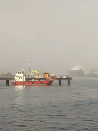
Back in the States after a foggy crossing, and a smoothie to see her off
That morning she left Linda and Paul’s home with deep gratitude for all they had done to support her work encouraging people to join the Canadian Blood Services Stem Cell Registry. She walked 0.8 miles to the ferry and 2.1 miles on to Port Angeles East, 2.9 miles in all, and on top of that she walked 2.0 miles of the next day’s route.
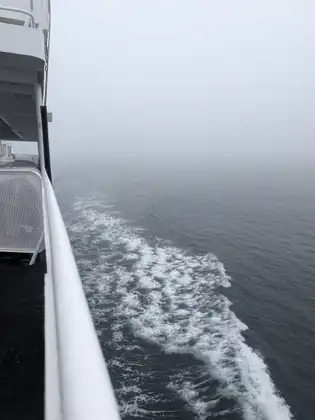
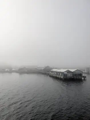
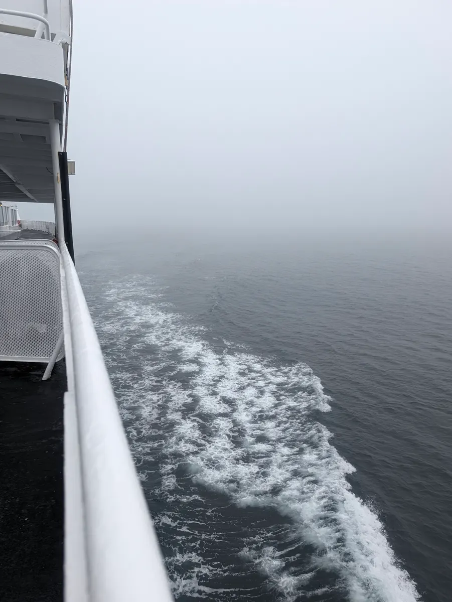
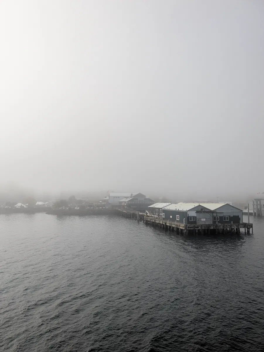
While she waited for the Coho ferry, and again on board, she met lots of folks who were interested in her backpack, and that led to good discussions about the fifth Steps to Marrow walk. It was a very foggy morning for the crossing over the Salish Sea. The man seated across from her told her it is a stressless way to travel.
It was quite a milestone to be in Port Angeles and back in the States. This was Day 30 of a 45-day walk, and she had lots of long walking days ahead of her, mostly because the towns are further apart and there is more wilderness in between. She felt ready to work through whatever obstacles arose.
The New Day Eatery offered her a bowl of soup and half a sandwich for lunch, and it was delicious and filling. From there she called the Port Angeles Fire Department to see whether they could help her with lodging for the night. A very kind firefighter named Tyler said he would take it to the city for approval.
She missed Tyler’s return call while fumbling with her phone, and when she couldn’t reach him, she decided to walk over to the station. There she was able to share information with the firefighters about how to join the national registry, NMDP (the National Marrow Donor Program). Unfortunately, Tyler didn’t get approval, so instead he walked her down the street to a smoothie place and bought her a smoothie, to see her off as she carried on her search for somewhere to stay in Port Angeles.
She tried several hotels along the way and ran into some pretty wonderful people, but she was not able to find a place to stay. She stopped in at a second fire station, the county fire station, which Tyler had recommended, and shared information there about how to join NMDP, but she still had nowhere to sleep that night.
As she walked and talked to people and looked for a place to spend the night, she saw the Peninsula Daily News and walked in to share her story. She was pleased that they were interested in printing it, but rather than doing an interview, as local papers used to, they asked whether she had a press release.
So she contacted Jay, a friend who has been so instrumental in helping her with her journey. He is responsible for the Foundation’s beautiful website, and for the amazing social media posts that, thanks to his expertise, are encouraging people in countries all around the world to join their registries. It is an international effort. Jay very kindly agreed to send a press release, so she hoped there would be a story about the Jada Bascom Foundation’s fifth Steps to Marrow walk and the importance of joining the United States national registry, NMDP.
She was very excited that the press in Port Angeles wanted to take part, because the media can reach so many people. Talking to people face to face and inspiring them to join the national registry is important to her, she says, and so is using the internet, through the website and social media. But it is also so important for local media to tell the story of the walk to local citizens, and that is why she is very grateful to the Peninsula Daily News.
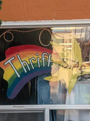
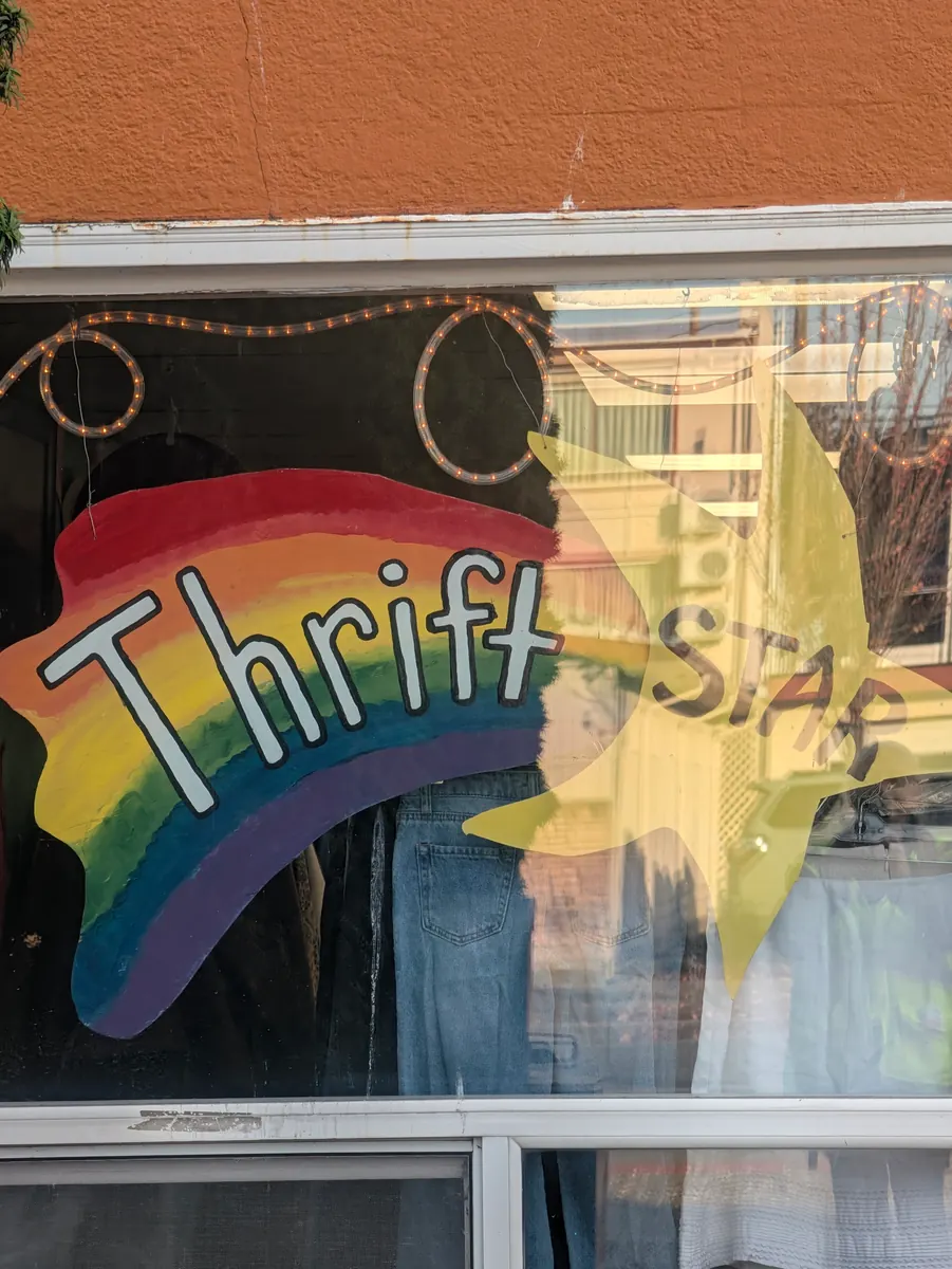
Her day also took in an extra two miles of walking, spent looking for her lost pullover. The most important part of that story, though, is that Thrift Star kindly let her pick out a comparable light jacket. That was a blessing, because temperatures were dropping and it would keep her warm and healthy. She sends many thanks to Thrift Star for its generosity.
Shortly after she arrived in Port Angeles East, she found a very kind woman who gave her a room for the night at the Holiday Motel.
I feel ready to find solutions for any obstacles that arise.
Jeana Moore 
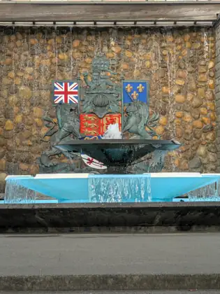
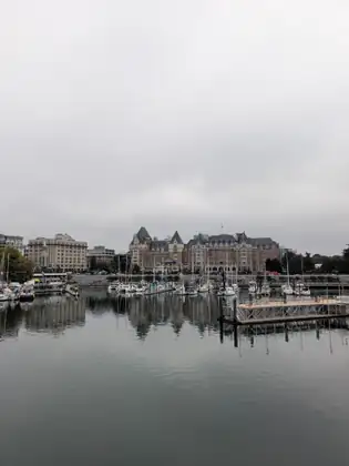
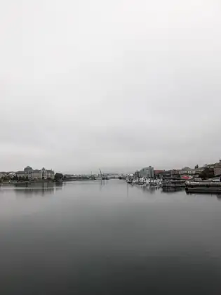

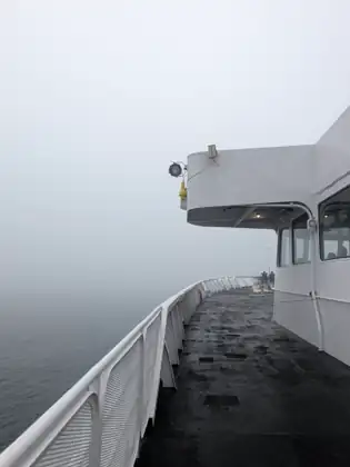
Show all 24 photos from this dayShow fewer photos

- Distance walked
- 2.9 miles
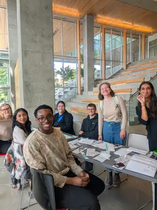
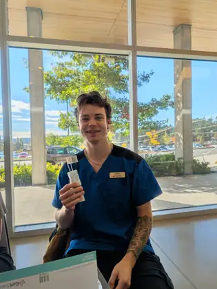
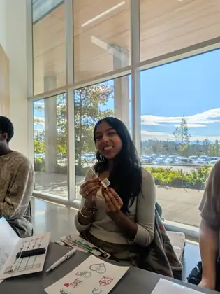
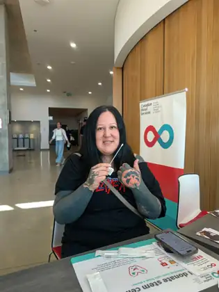
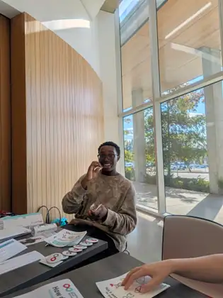
Spreading the word at Camosun College, and the ferry far off in the distance
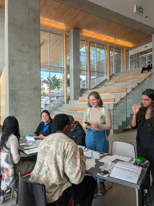
It was another beautiful day on the Island. She was scheduled to go to Camosun College’s Interurban campus to take part in a stem cell swabbing event alongside the Lifeline Blood Club and Canadian Blood Services. Canadian Blood Services arranged a blue cab to take her to the campus.
Once there, she had a short Webex call about the finish of the fifth Steps to Marrow walk in Olympia. Then she made her way over to Isla, the club’s president, and the other club members, to help potential stem cell donors join the Canadian Blood Services Stem Cell Registry.
For anyone not familiar with stem cell registries, she explains that in both the U.S. and Canada you can join your national registry with a simple cheek swab, at a live event or online, and that it won’t cost you anything. Go to jadabascomfoundation.org, she says, and you will find a link to the Canadian Blood Services Stem Cell Registry, which is your registry if you live in Canada outside Québec, or to NMDP, the National Marrow Donor Program, if you live in the U.S. Québec has its own registry, run by Héma-Québec, and the site links to that too. And if you don’t live in Canada or the U.S., don’t fret: the Jada Bascom Foundation has links to stem cell registries in countries around the world.
While the club members did the cheek swabs, she offered to talk with folks around the campus, so that they would know the swabbing event was happening in the health building atrium. The swabbing crew reported later that people she had talked to had shown up to have their cheeks swabbed.
The young folks she talked with gave a myriad of responses, from enthusiastic to seriously interested to wanting to learn more. She was grateful to Canadian Blood Services and the Lifeline Blood Club team for inviting the Jada Bascom Foundation to join them in such an exciting event.
Isla told Jeana that it was the fifth Steps to Marrow walk that had inspired her to hold the drive at Camosun College. Her contact at Canadian Blood Services, Ann, had told her that Jeana would be walking through Victoria, Isla explained, so she picked a day for the swabbing event when Jeana would be there.
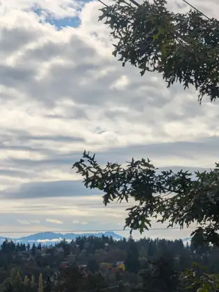
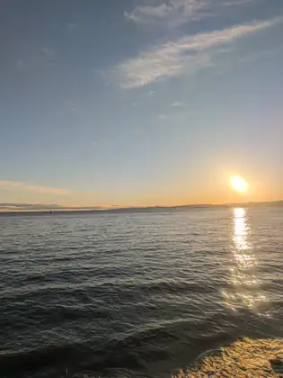
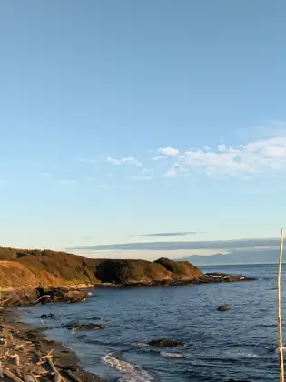
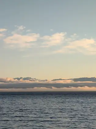
When she got back to Linda and Paul’s, they went for a walk along the sea. Far off in the distance they could see the ferry coming from Port Angeles to Victoria — the ferry she would be taking the next day. Linda and Paul had extended kind and generous hospitality throughout her time in Victoria, and she was grateful for their warm reception and care.
I found joy walking around the campus on a sunny afternoon talking with young folks about how they can save a life.
Jeana Moore 


Show all 18 photos from this dayShow fewer photos
- Distance walked
- 0 miles
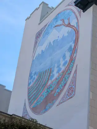
A latte in the sunshine, and a young policeman keen to join the registry
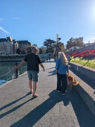
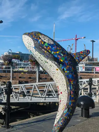
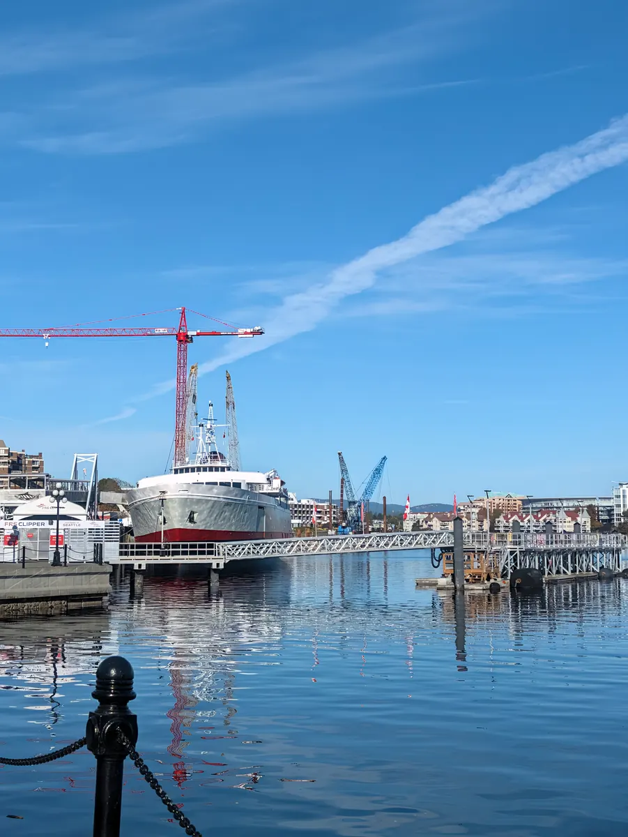
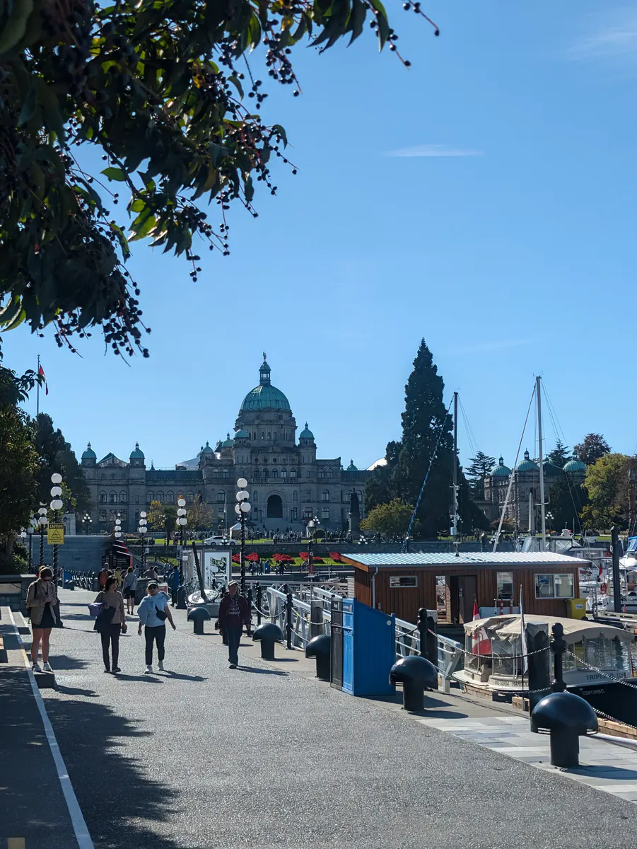
It was another unbelievably beautiful day in Victoria. Linda and Paul walked the short distance with her to connect her route to their house. They took her along a pathway right on the water’s edge, where the Coho ferry docks among lots of whale-watching boats, large and small.
They stopped for coffee along the way, and Linda and Paul bought her a delicious latte. They were very interesting, well-travelled folks, and she had lots to learn from them.
They had errands to run, so she travelled the high road back to their house, through a famous shopping area on Government Street. Along the way she stopped at Munro’s Books, as Paul had recommended. She enjoyed just browsing, stopping to read this and that as her attention was drawn, inexplicably, to a specific book shelved among hundreds of others. Later Paul told her that the store was named for Alice Munro, the famous Canadian writer, and she admitted that she was not familiar with her work.
On the way back she talked to lots of folks about joining the Canadian Blood Services Stem Cell Registry, and of course she shared the QR code around her neck as well. Two of them stood out in her mind: a young policeman, who was very interested in joining because he already gives blood with Canadian Blood Services, and a woman her own age who wanted a picture with her.
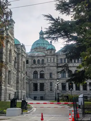
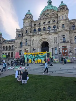
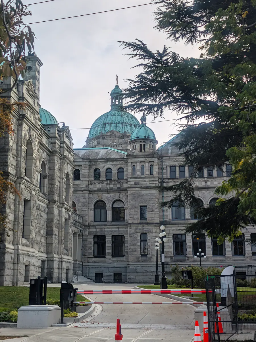
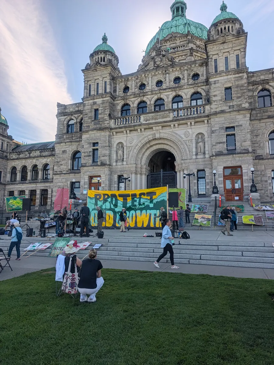
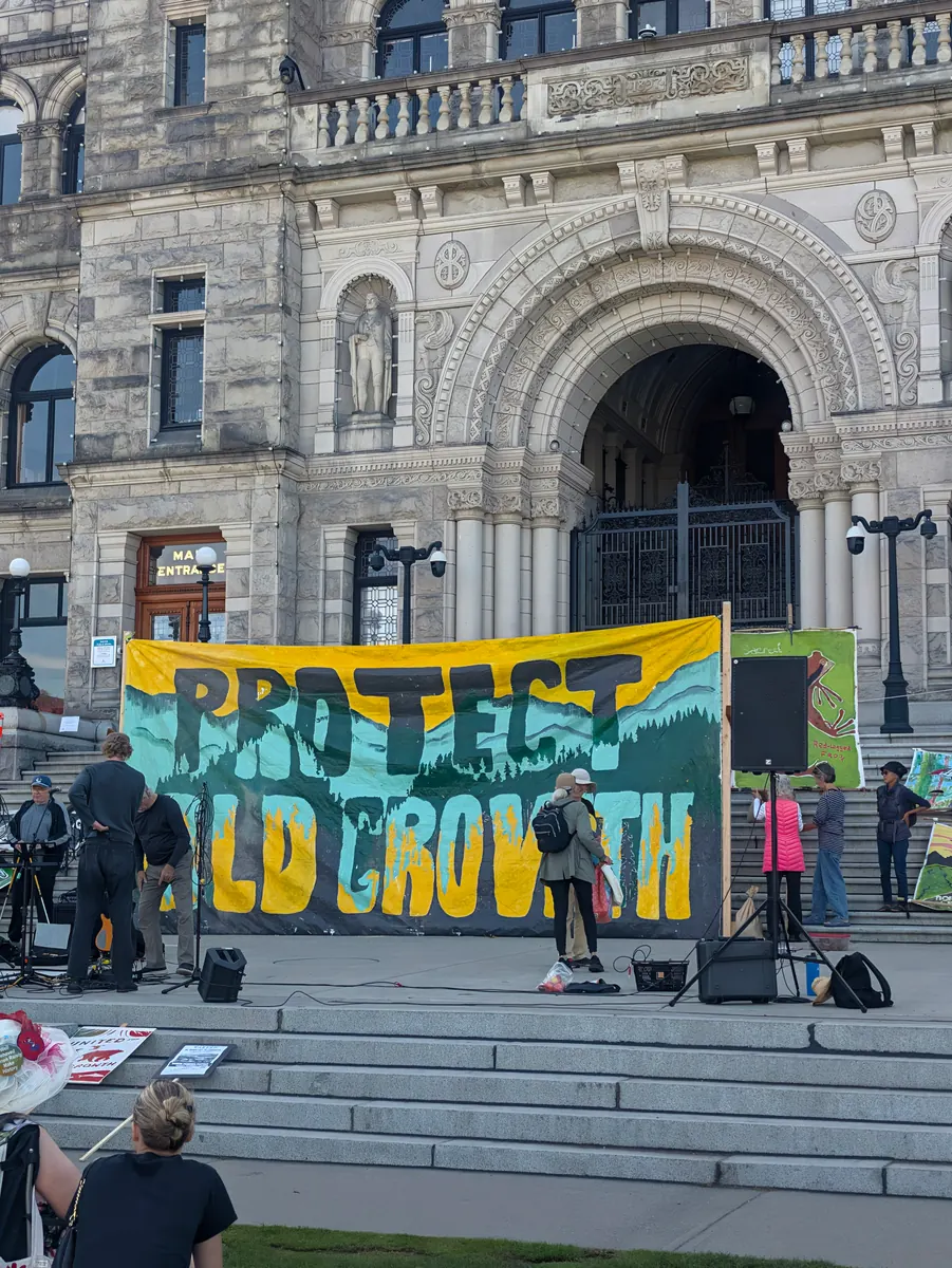
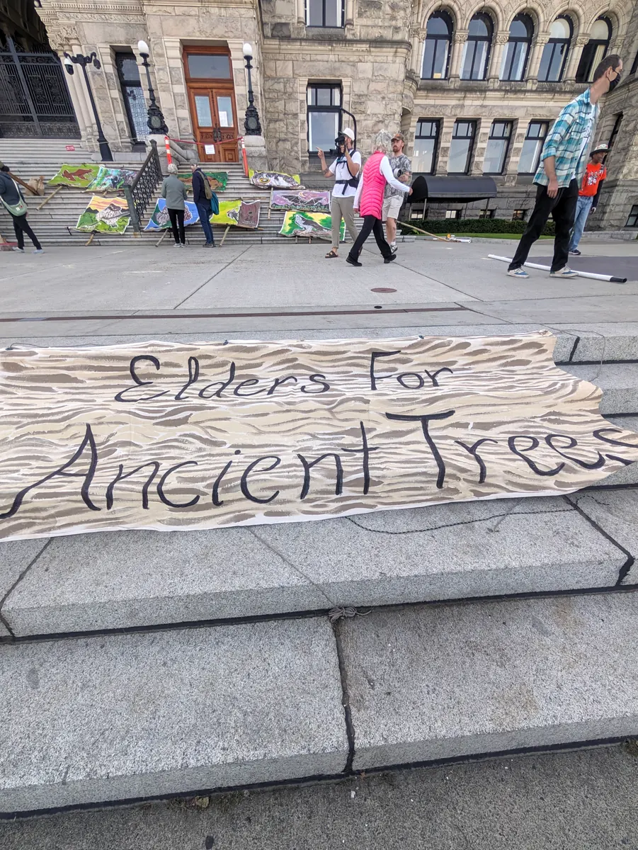
She also ran into a protest at the BC Legislature against the cutting down of old-growth trees. She learned that up-Island there are amazing stands of old-growth forest with no roads to them; they can only be reached by boat or by plane.
Back at Linda and Paul’s, she had lots of work to catch up on: writing her journal entries, making arrangements for the next day’s stem cell swabbing event and recording the contacts she had made. She has a great team of folks helping her stay connected to the people she has met who are interested in supporting donor enrolment in their country.
We sat in the morning sunshine sipping and chatting.
Jeana Moore 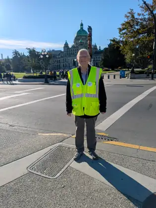





Show all 24 photos from this dayShow fewer photos

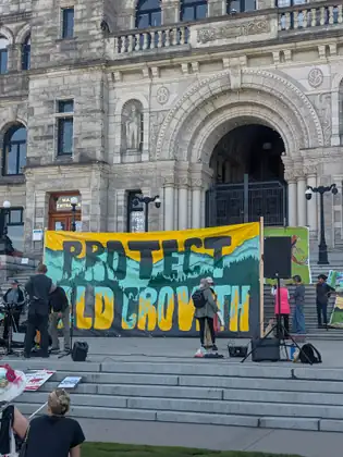
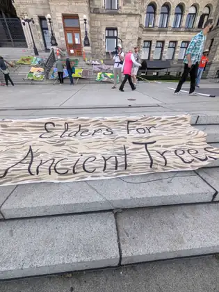
- Distance walked
- 1.2 miles
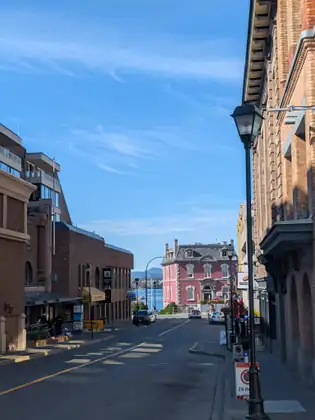
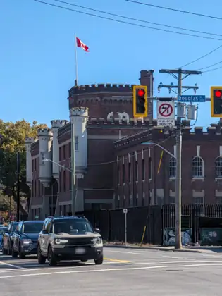
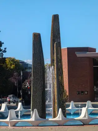
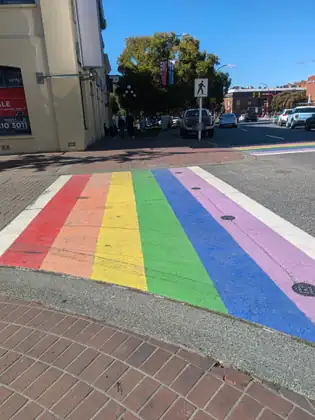
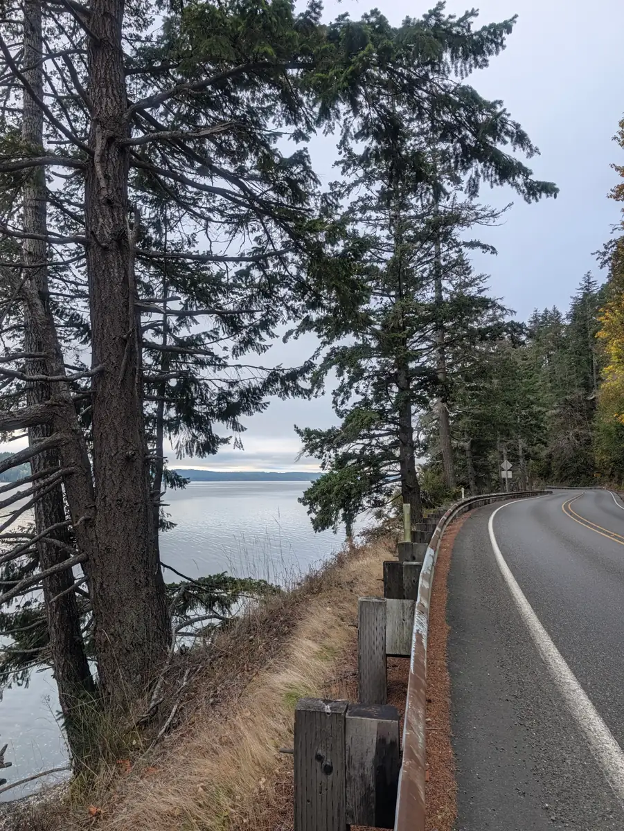
A very serious construction worker moved to action, and a welcome in Victoria
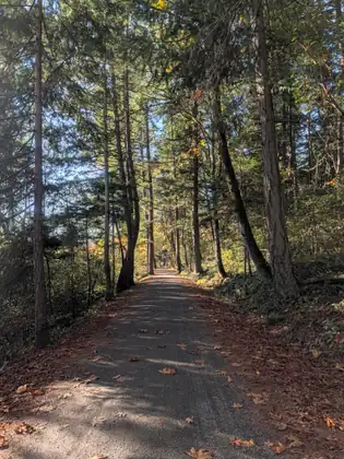
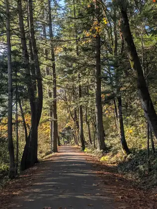
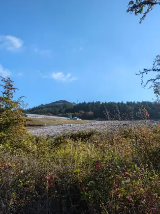
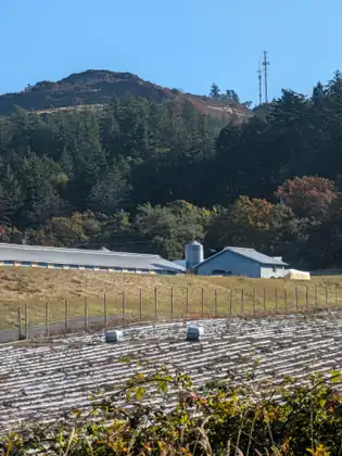
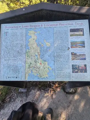
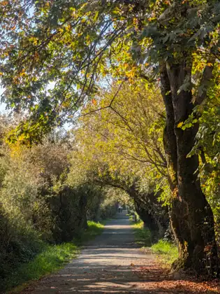
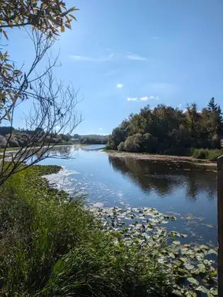
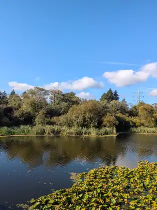
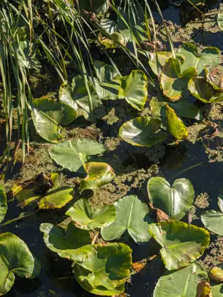
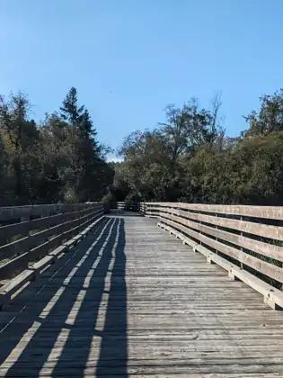
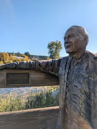
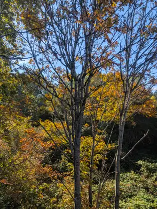
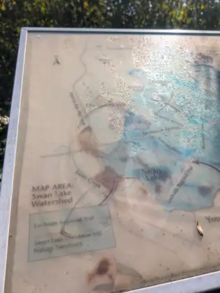
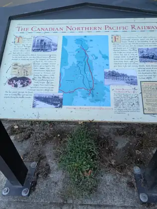
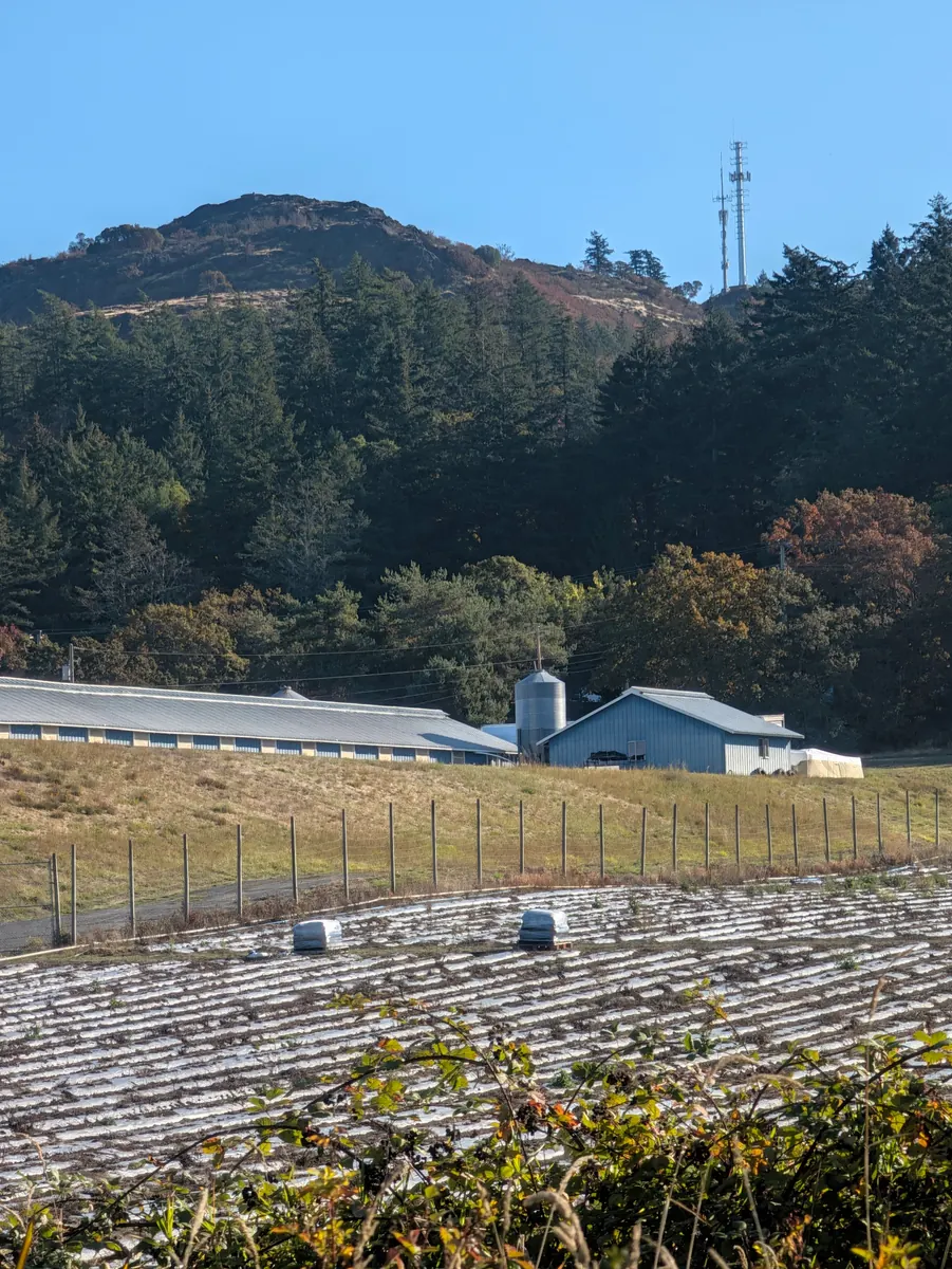
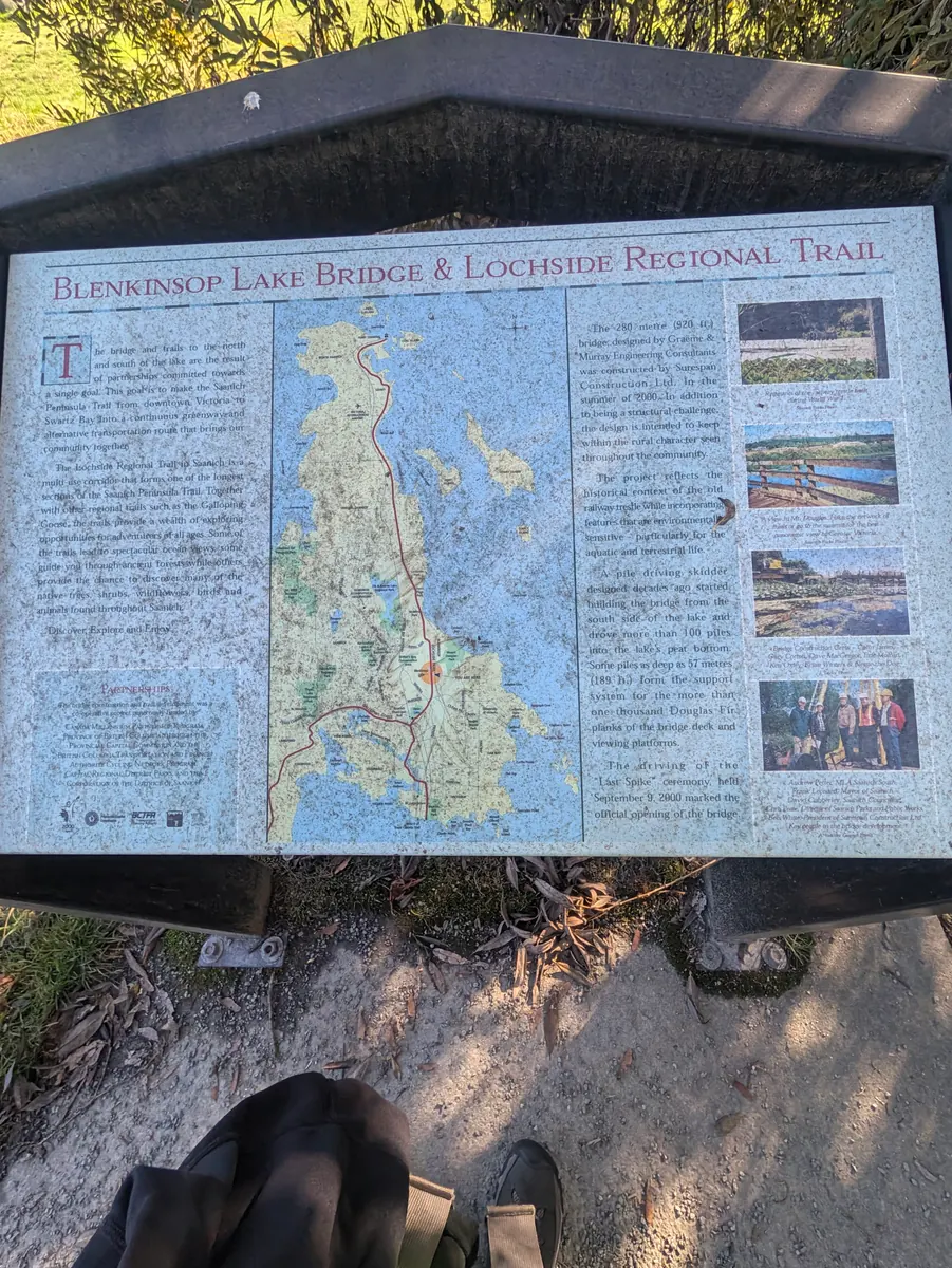
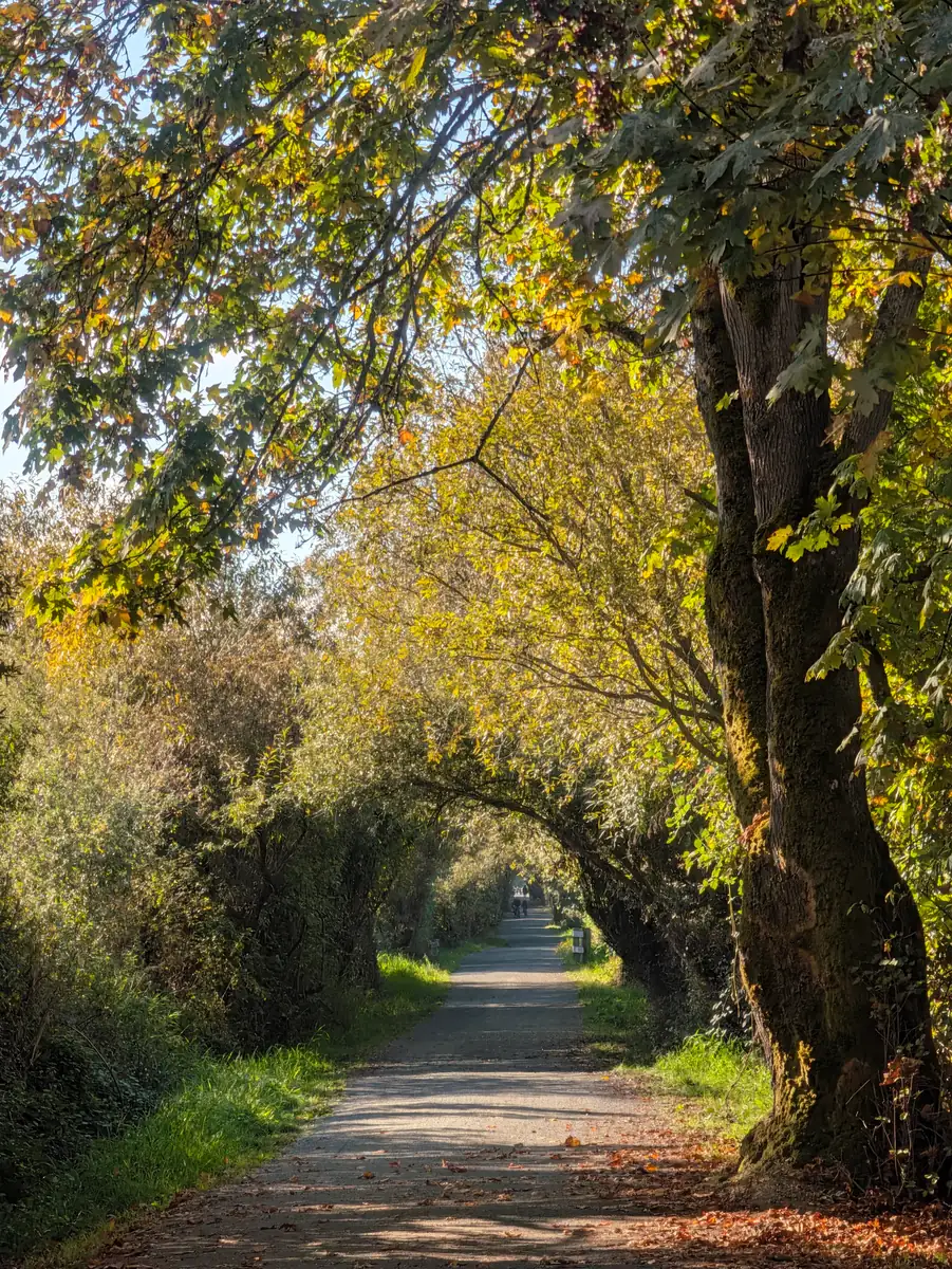
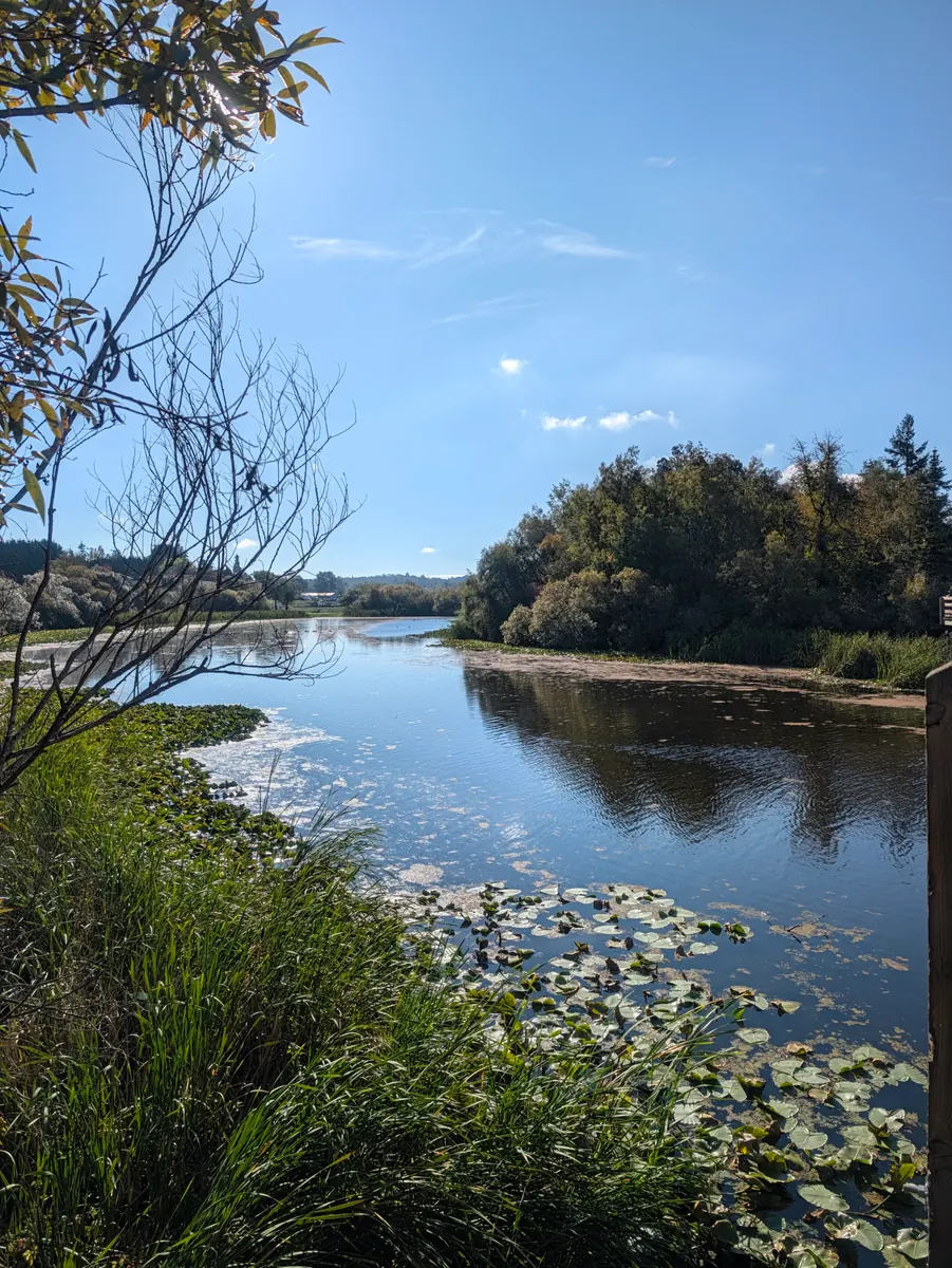
It was a beautiful day for walking, especially on the Lochside Trail. On a Saturday filled with sunshine, there were lots of folks out walking, running and biking.
She met a young man whose father was in remission from blood cancer. He was moved by her efforts to save the lives of patients with blood cancer and blood disorders.
With blood cancers, as she explains, doctors rarely say that a patient is cured. Instead they say that the patient is in remission, or that there is no evidence of disease (NED). That’s why, she says, folks in remission need long-term follow-up blood counts, to catch any relapse early.
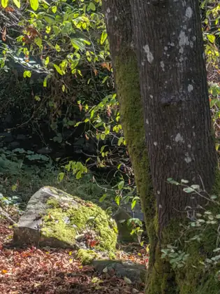
Somehow the beauty of the forest and the warmth of the sunshine made her backpack lighter with each step. Along the way she met a very serious construction worker, who took a picture of the QR code on the sign hanging from her pack. He said he would post it on Facebook, to spread the word about how to join the Canadian Blood Services Stem Cell Registry.
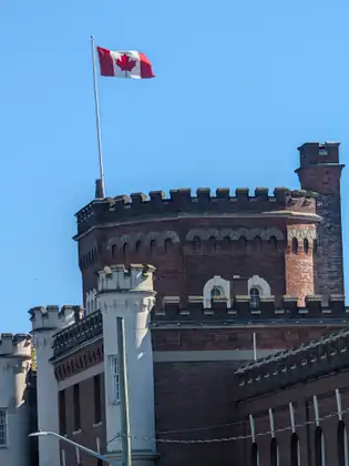
Before she knew it, she was in downtown Victoria, a day earlier than planned. Kath, her host in Sidney, had sent out messages to see whether anyone could put her up in Victoria, and Jeana was blessed when Linda and Paul reached out to say she would be welcome in their home.
Linda asked whether Jeana would like to walk to their home. Not knowing how close to them she actually was, she declined, and Paul kindly came and picked her up. She realised later that she would need to connect their home to her route, so that she could walk to the Coho ferry from there. She planned to cover that short stretch the next day.
They live in an amazing location for walking. Linda recalled walking along the ocean that morning, when a whale breached right alongside her.
Linda and Paul were taking good care of her. That night she was fed, showered and ready for bed.
I love that when he heard what I was doing he was moved to action immediately.
Jeana Moore 
Show all 26 photos from this dayShow fewer photos




- Distance walked
- 6.1 miles

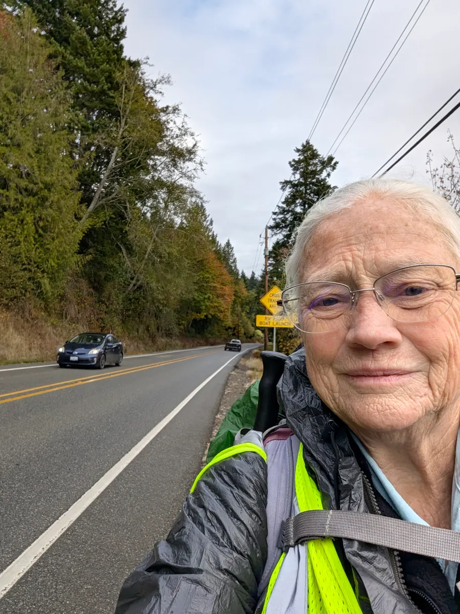
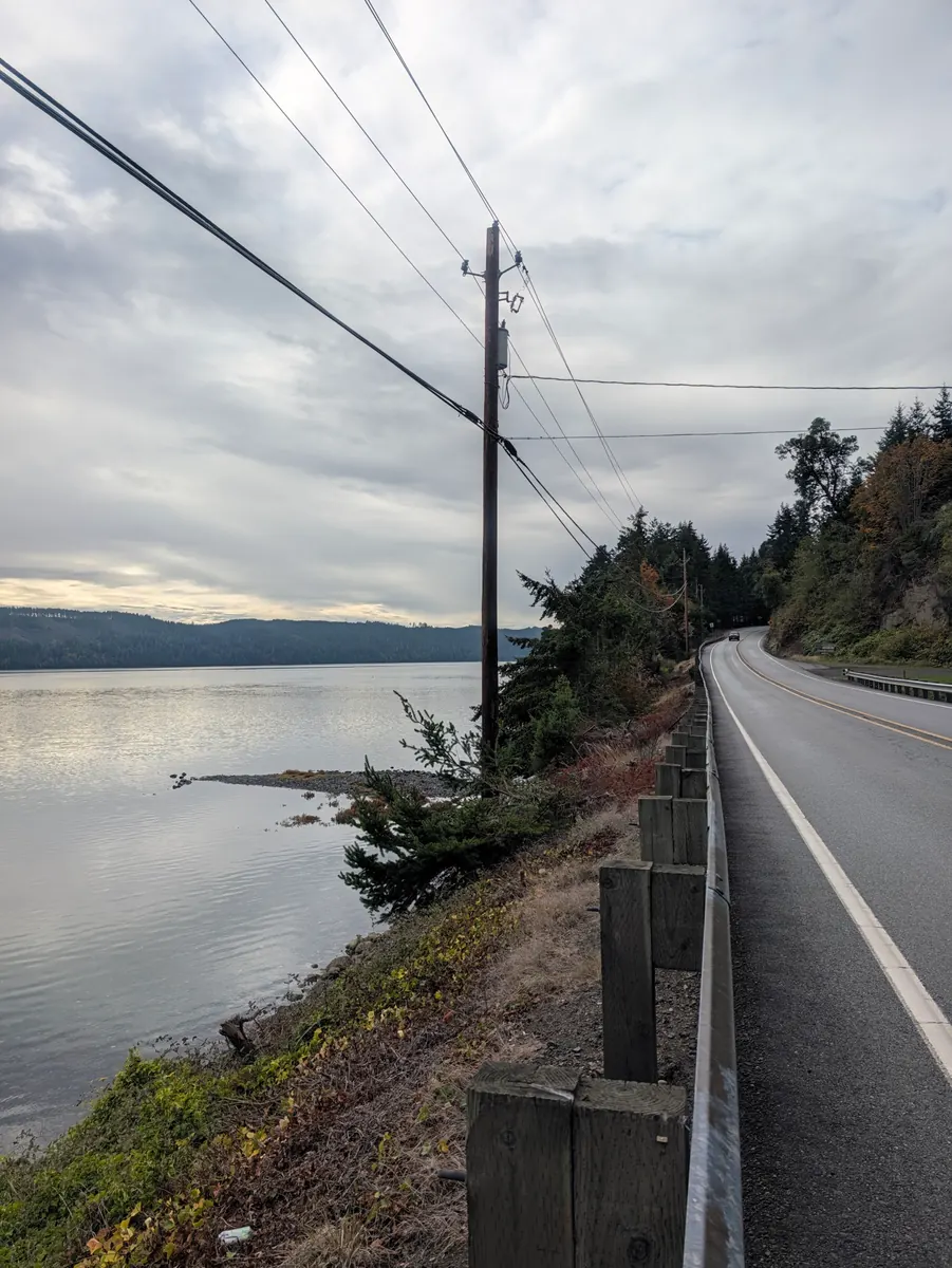
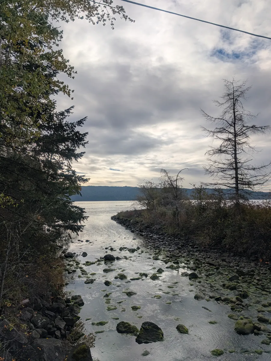
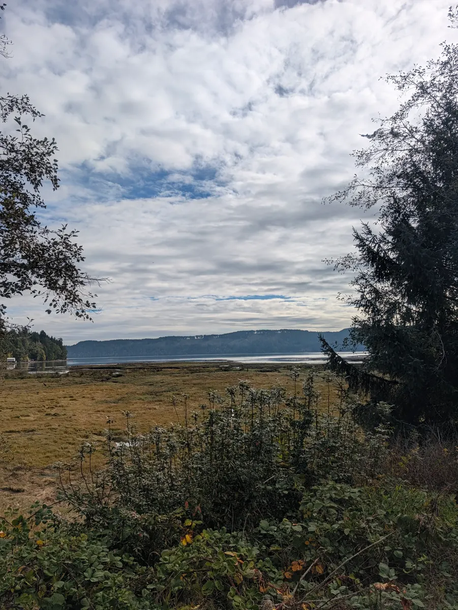
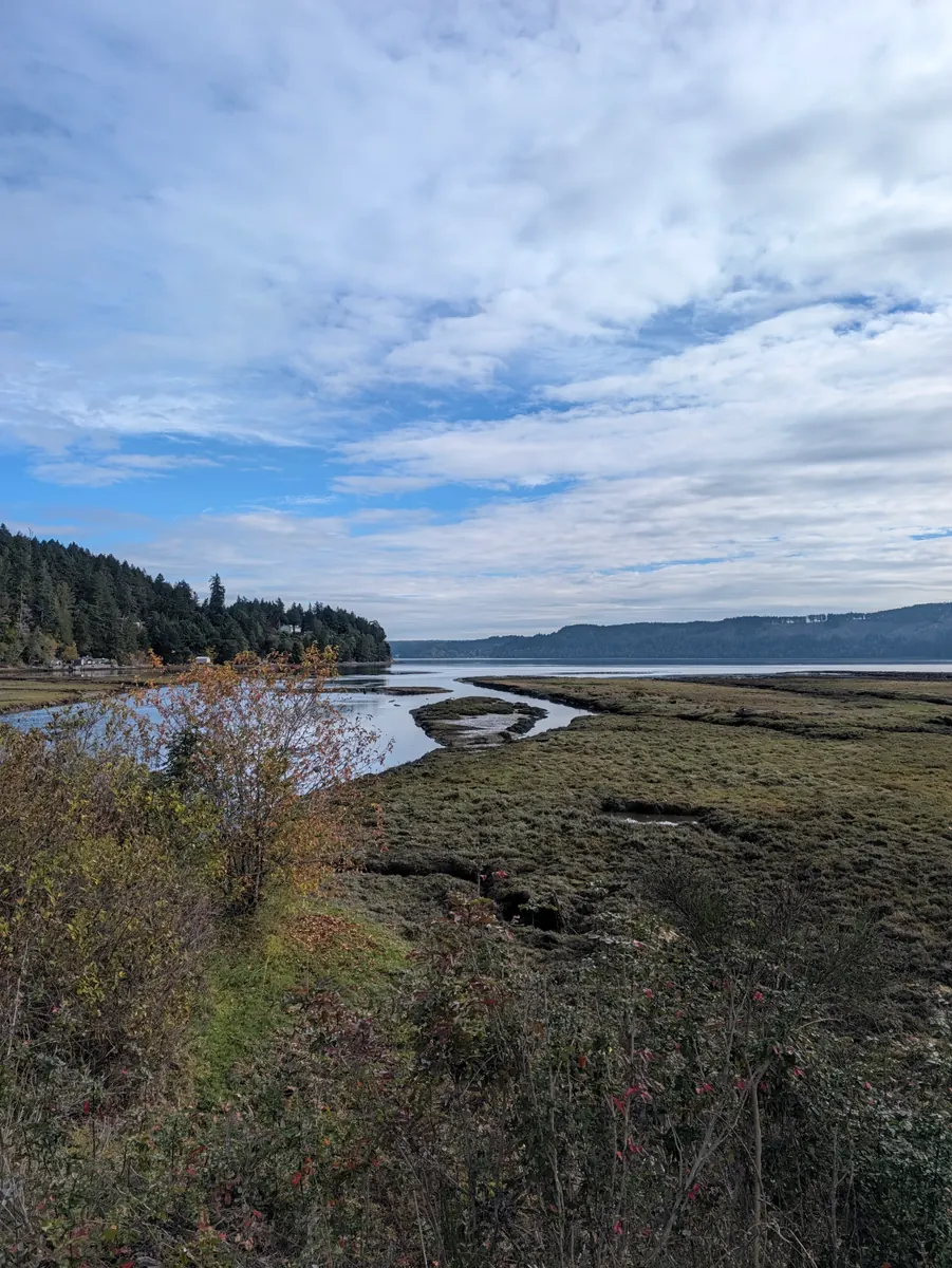
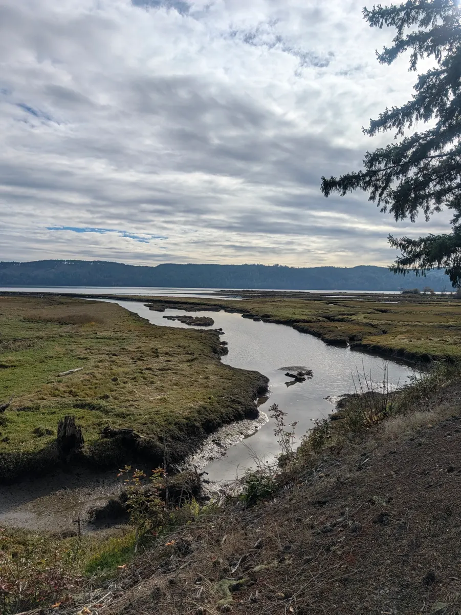

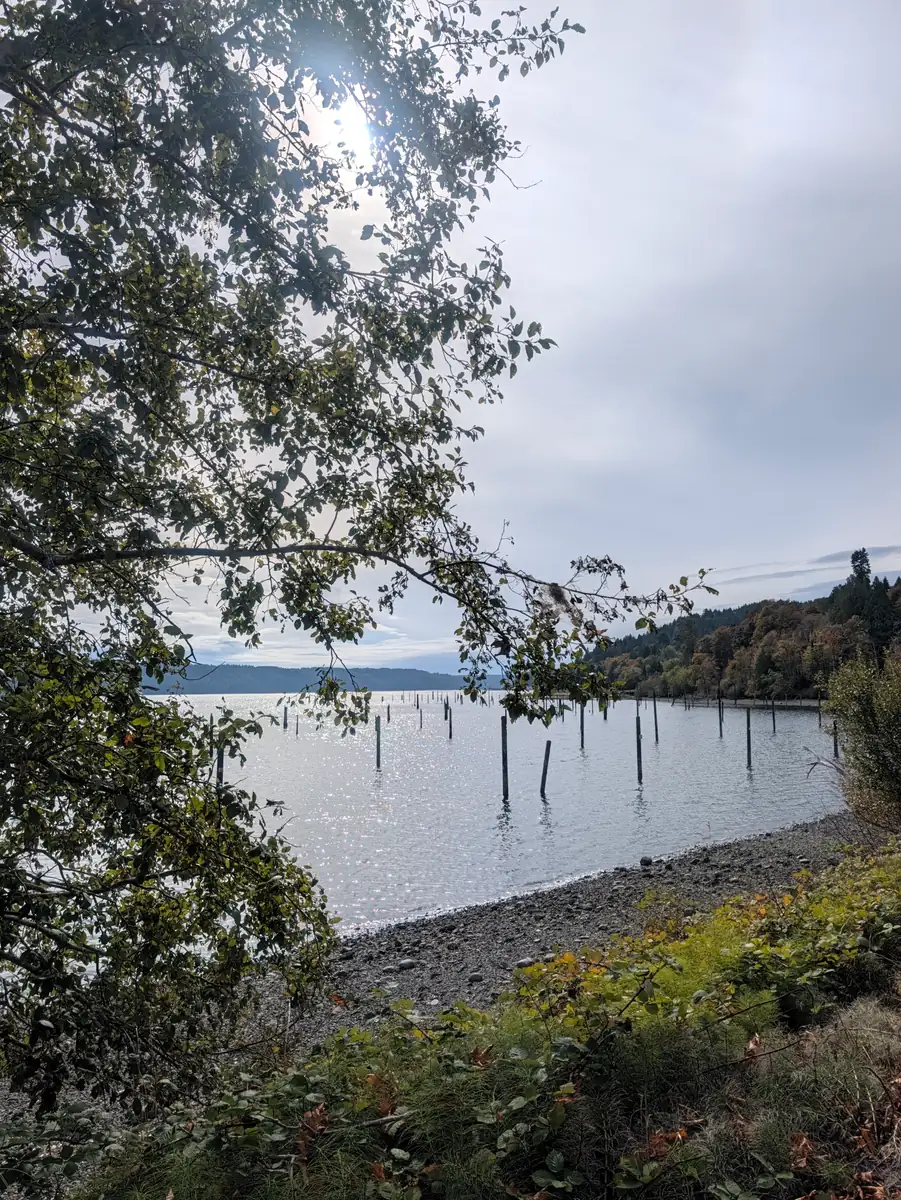
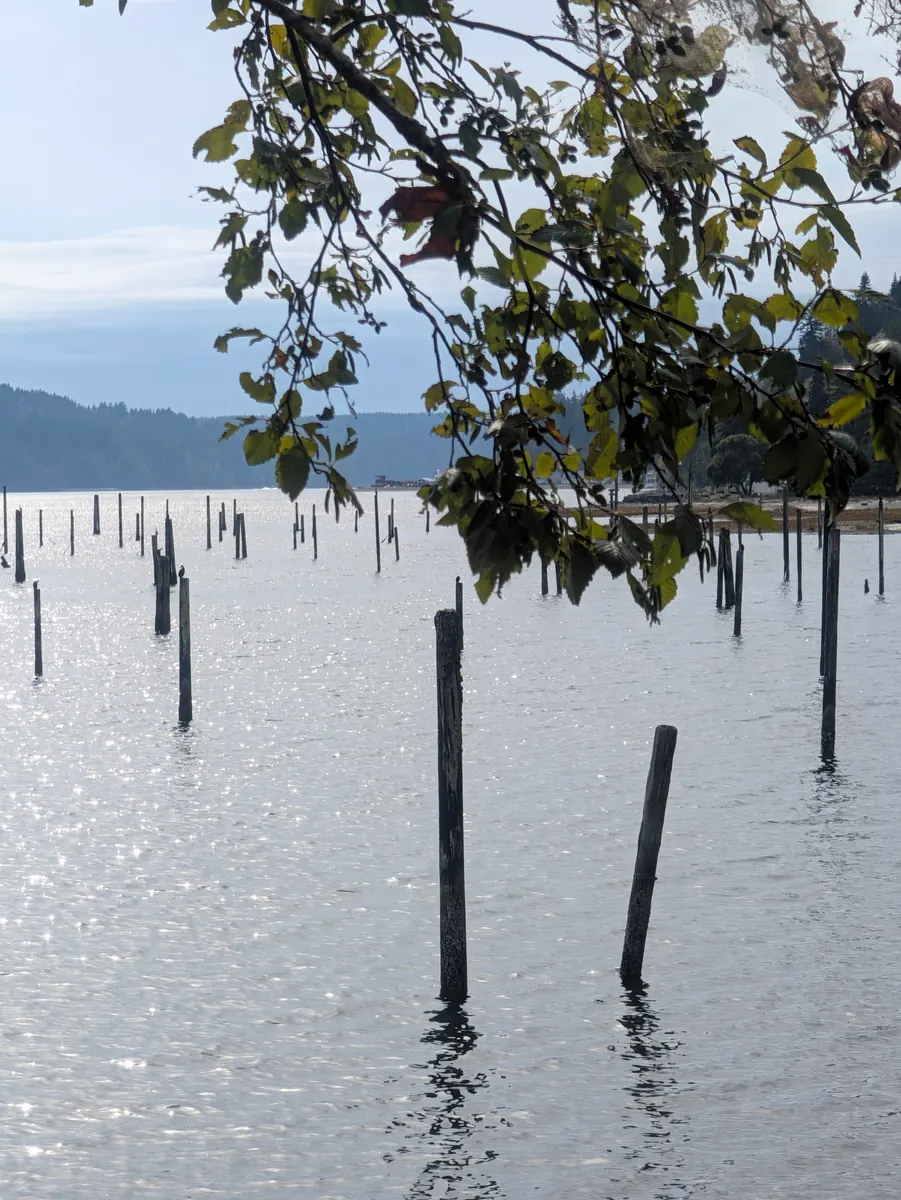
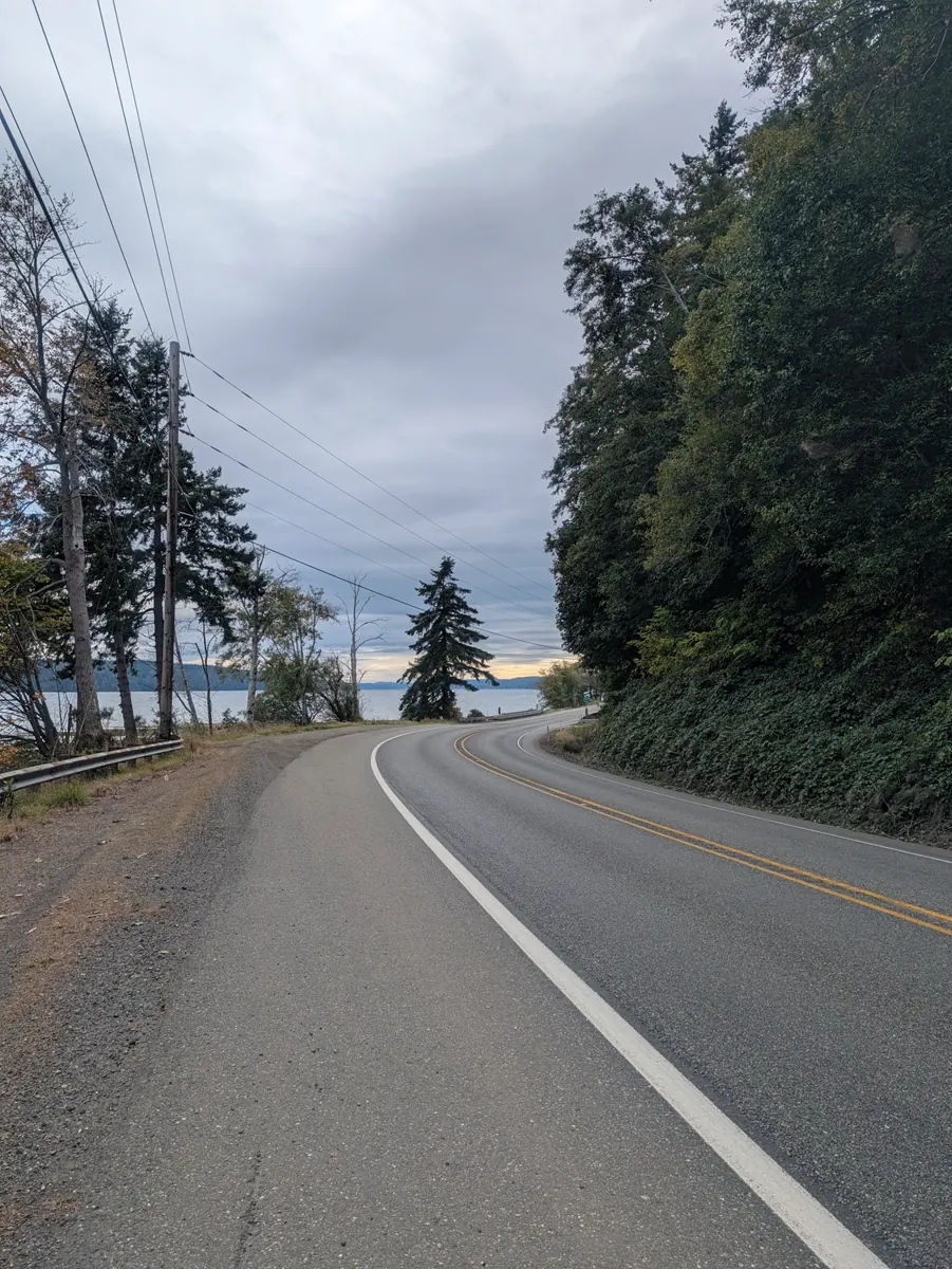
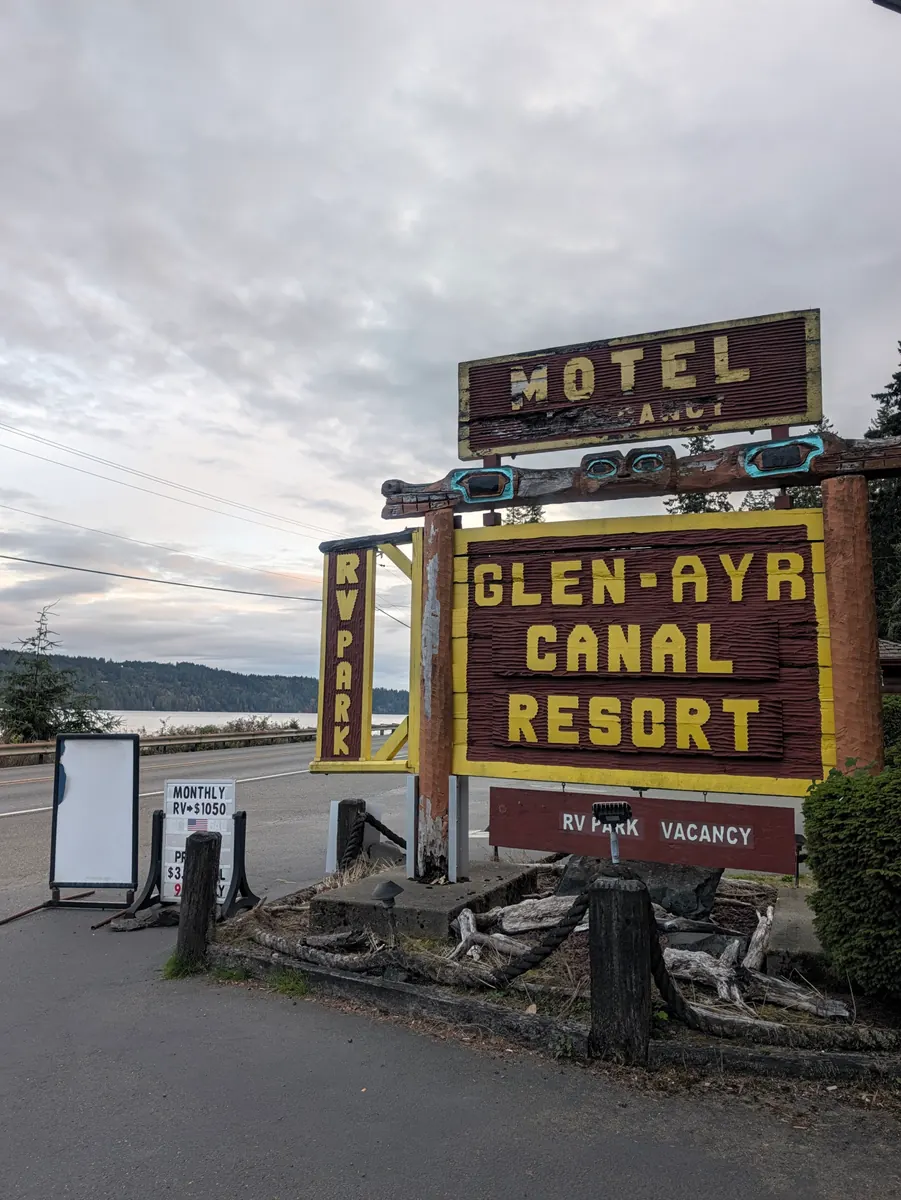
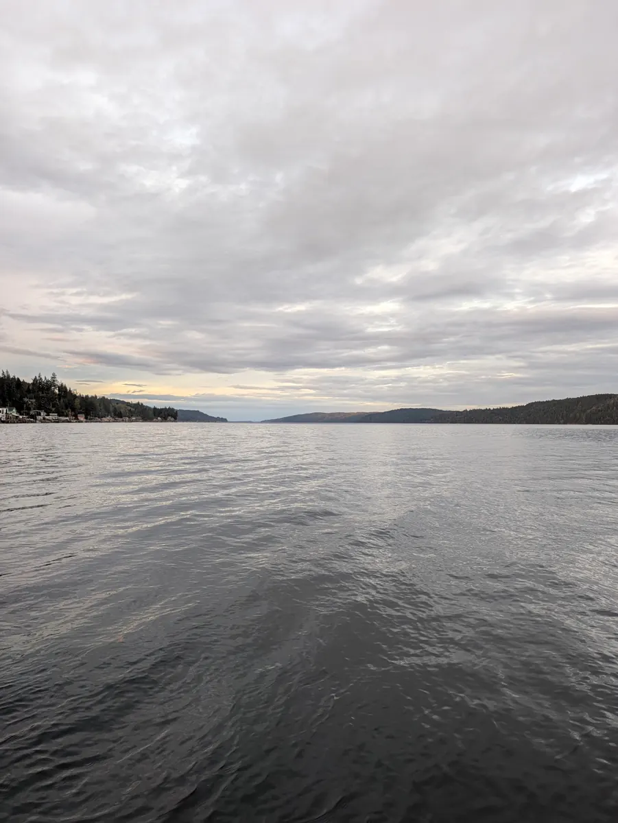
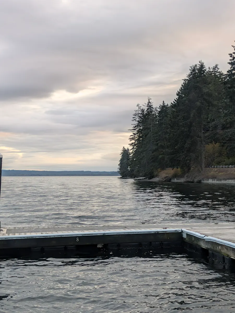
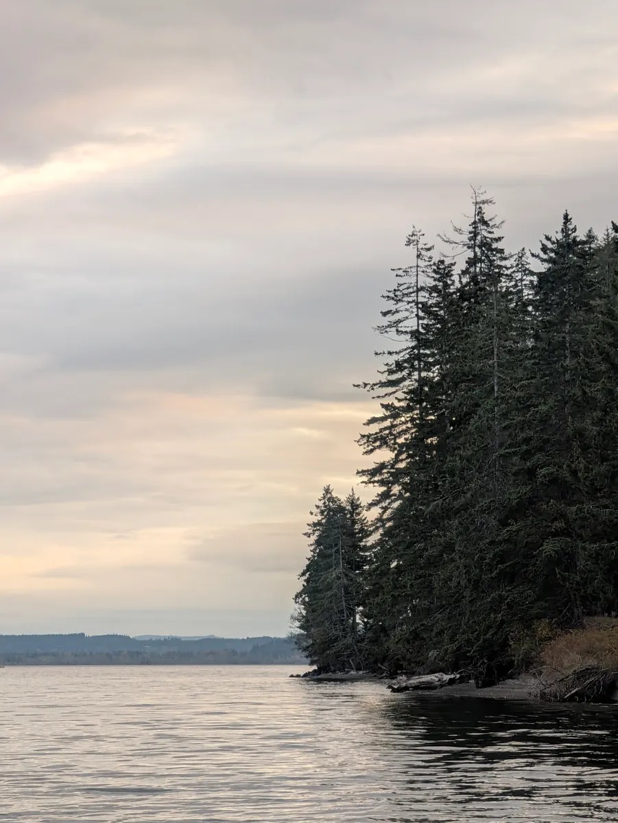
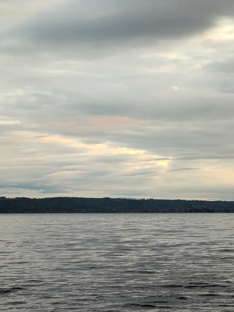
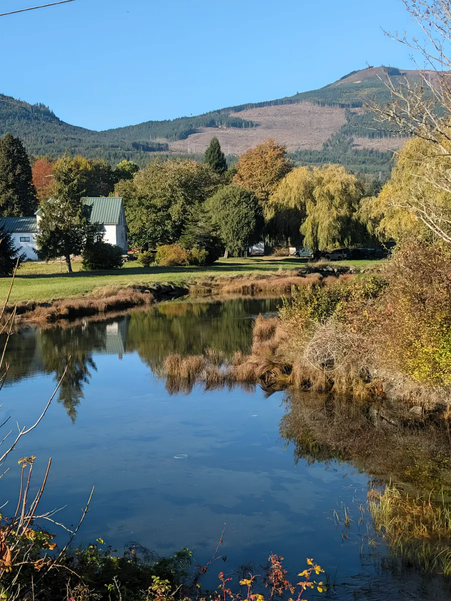
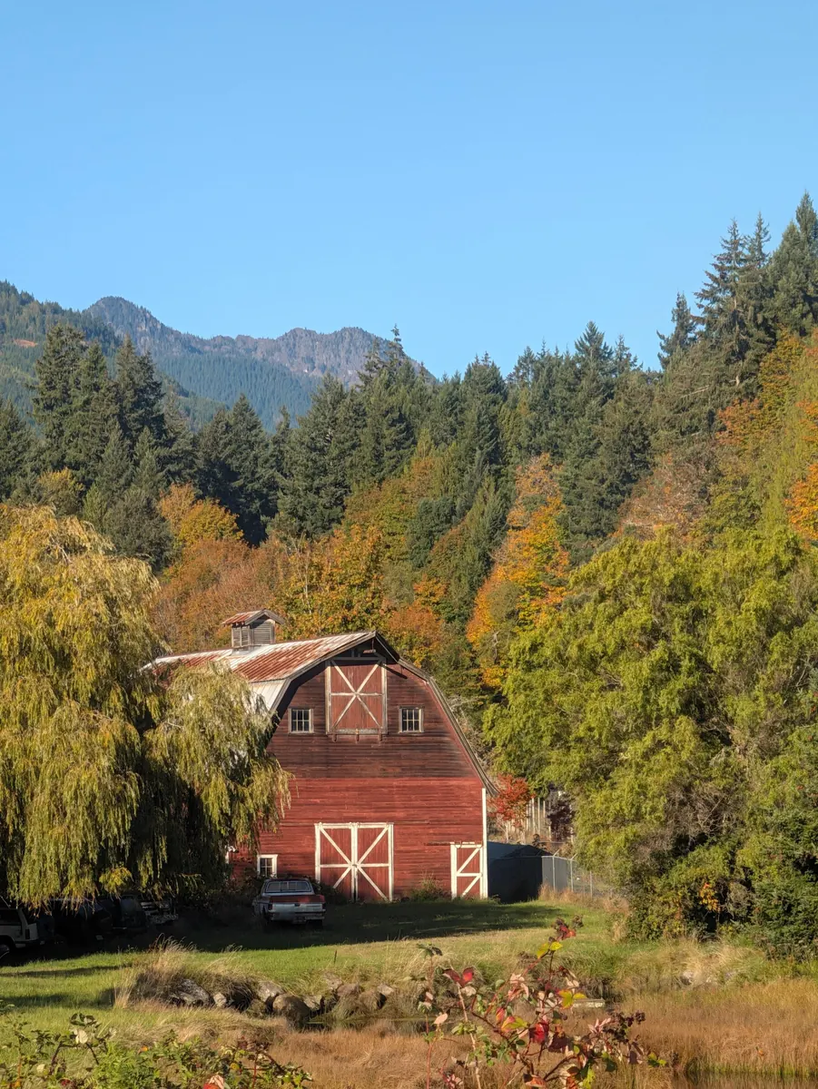
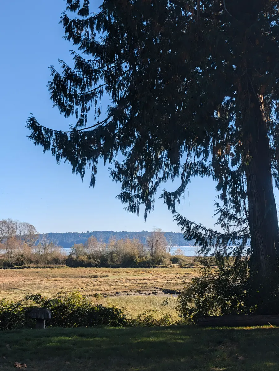
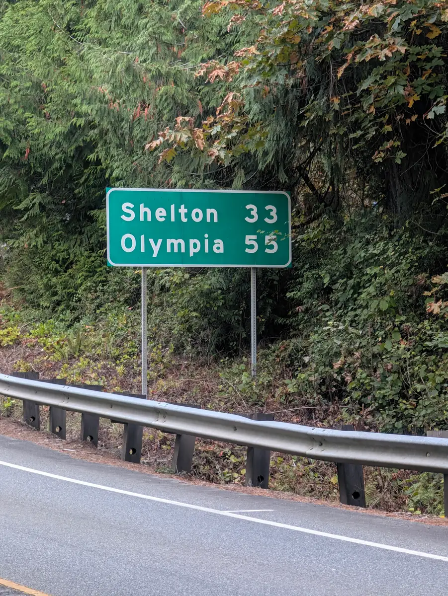
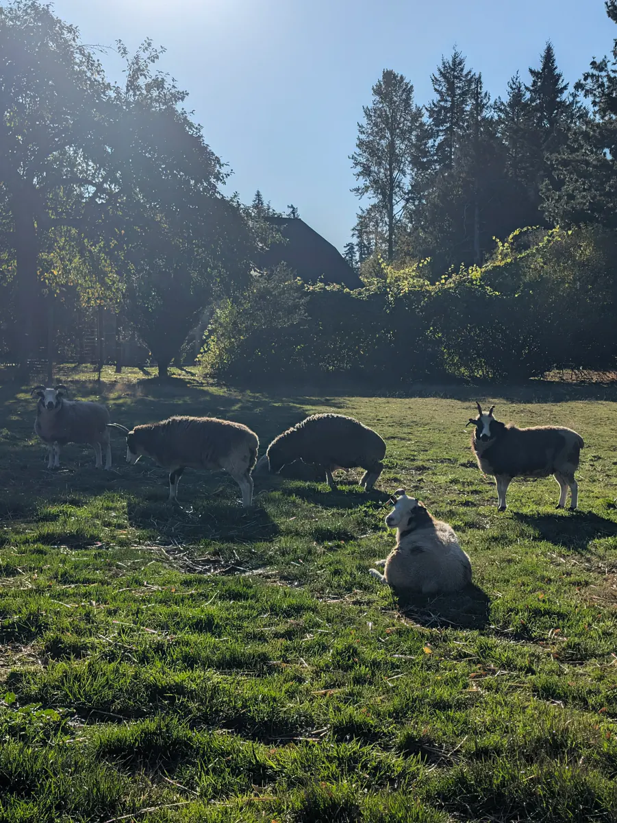
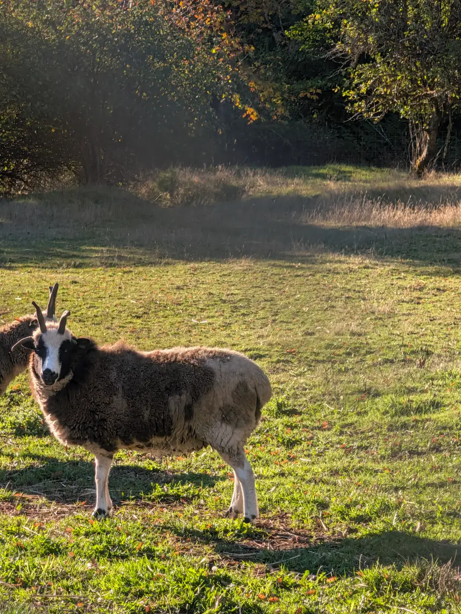
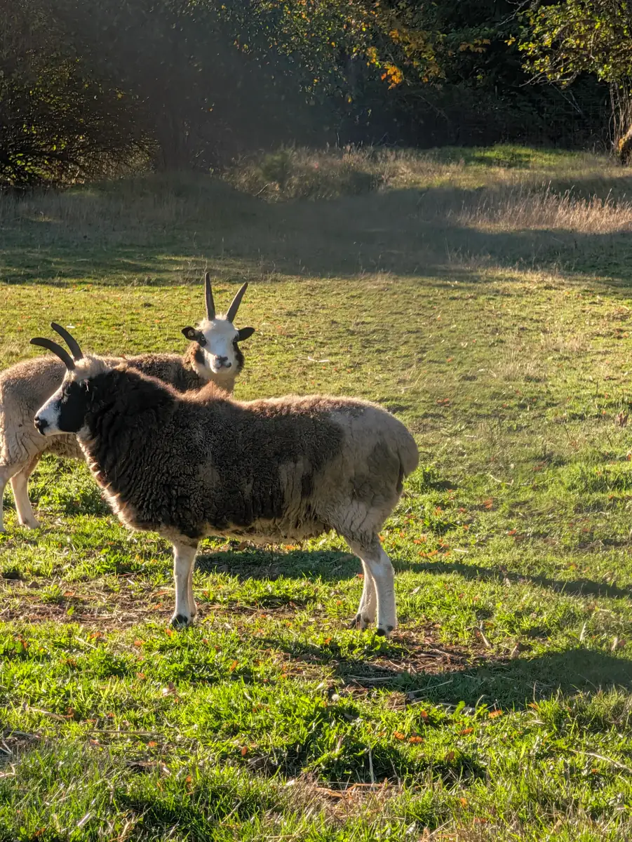
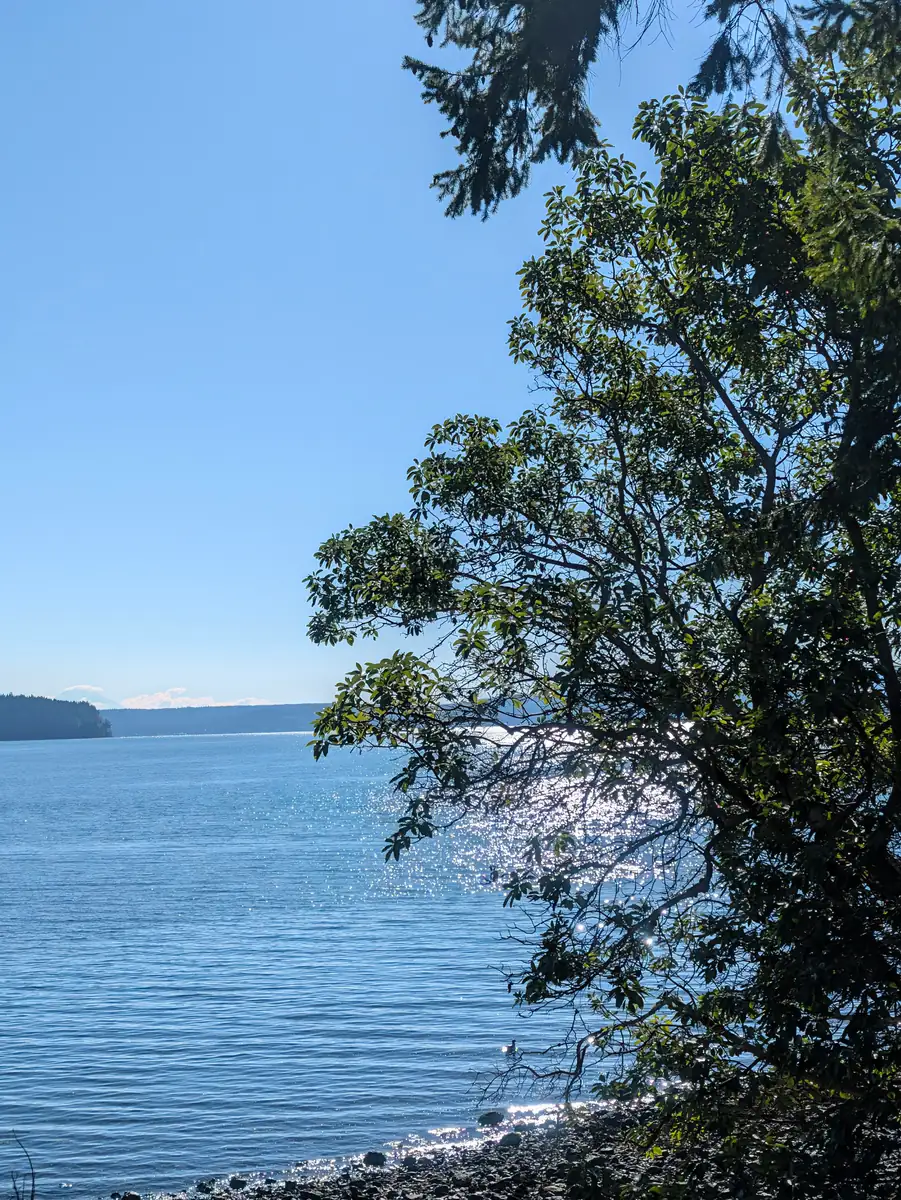
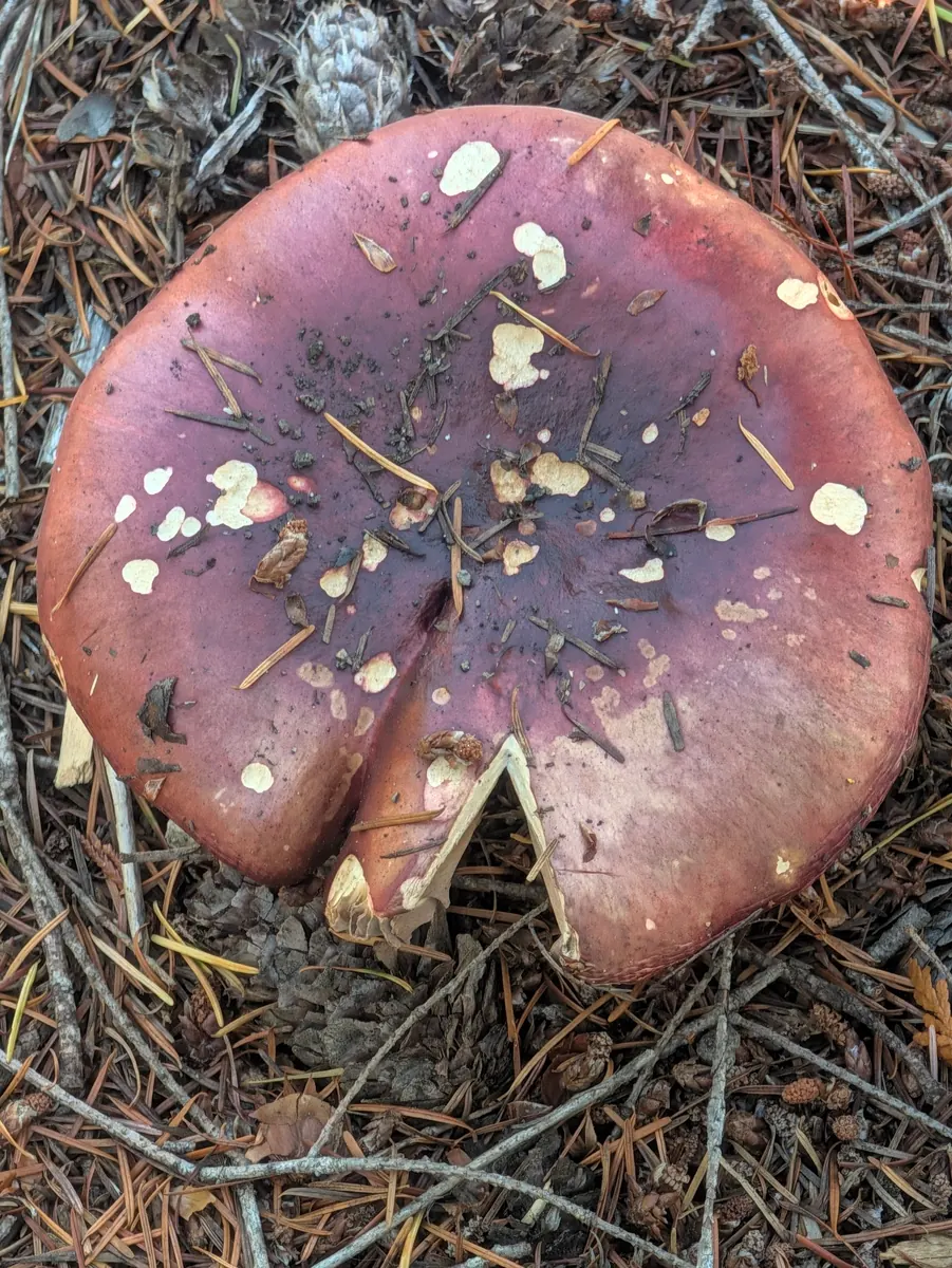
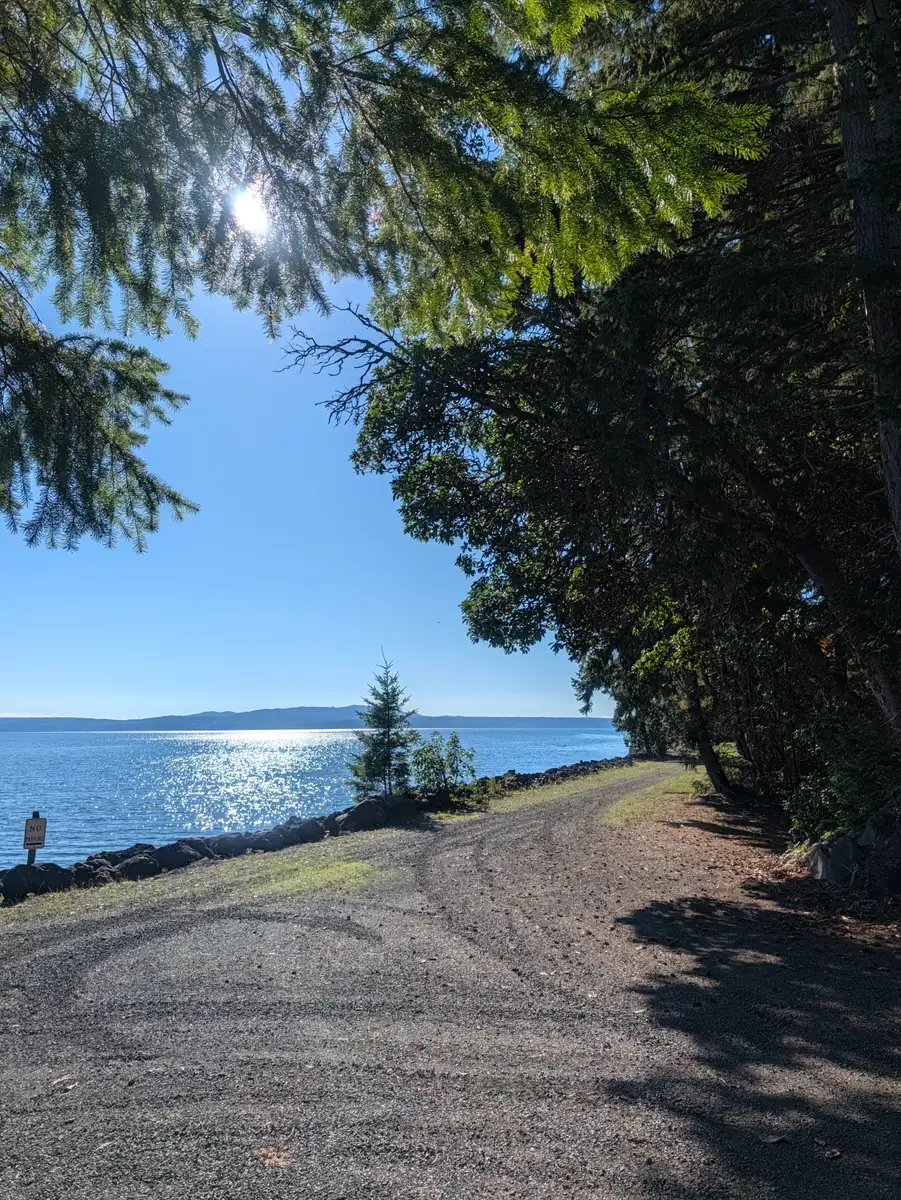
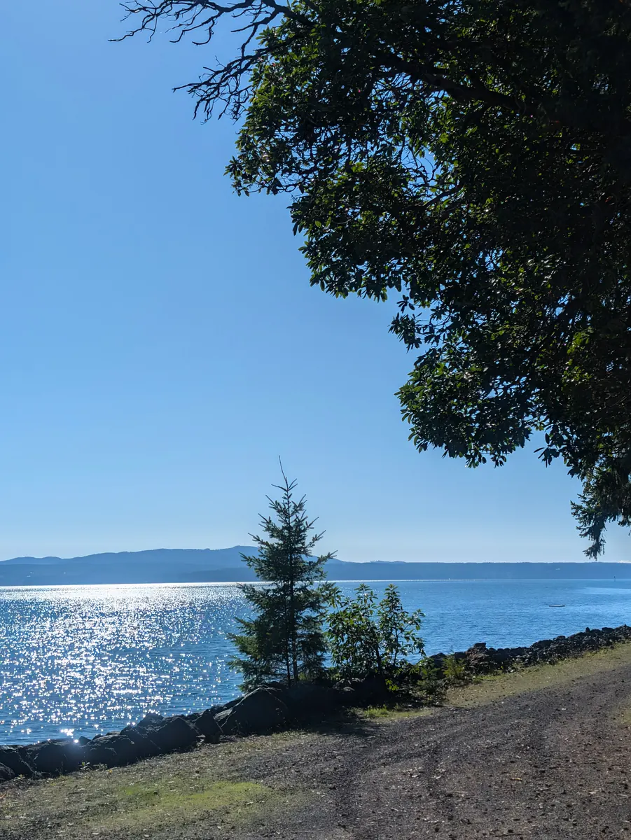
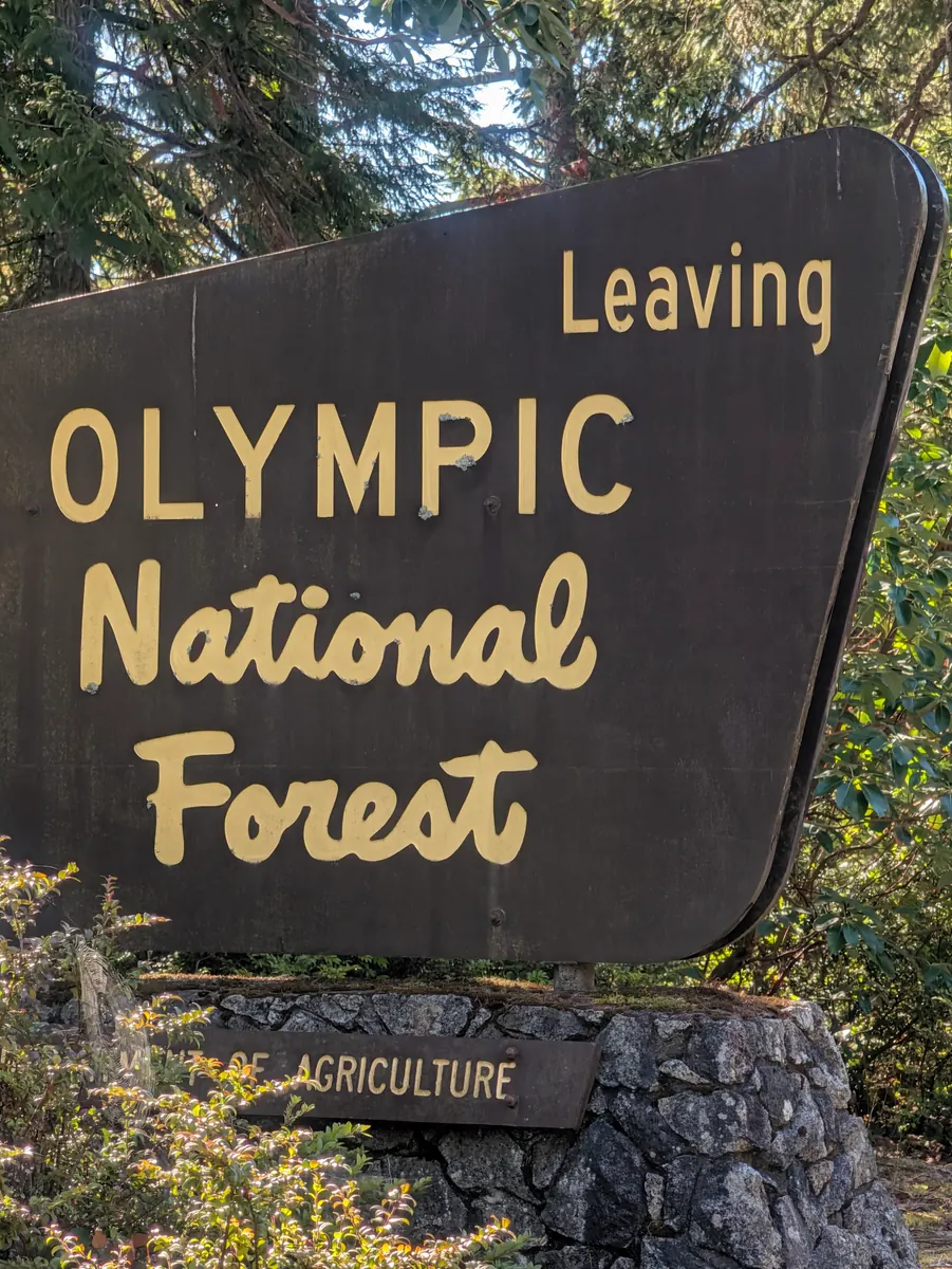
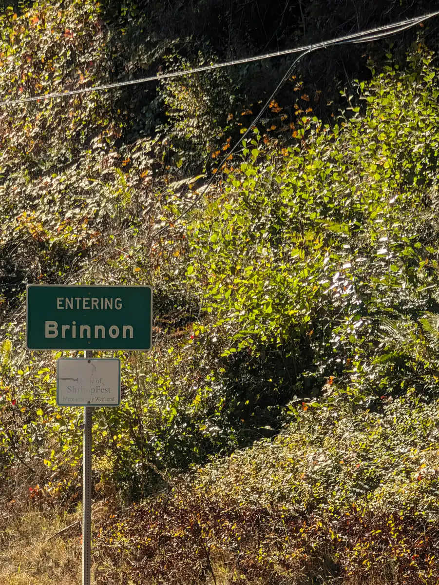
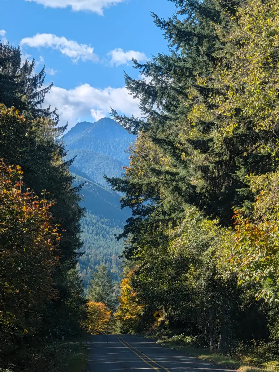
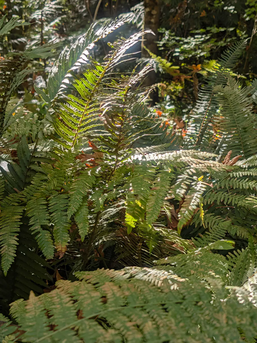
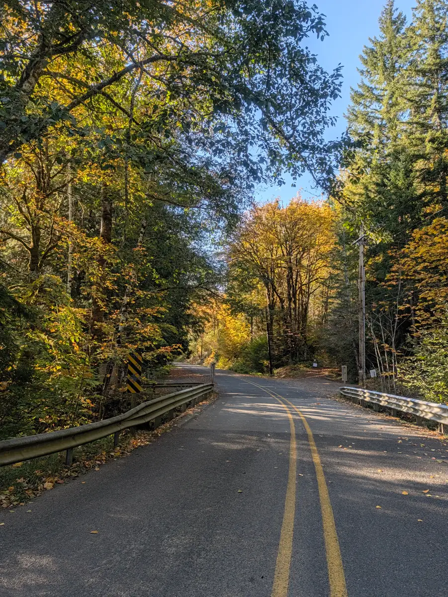
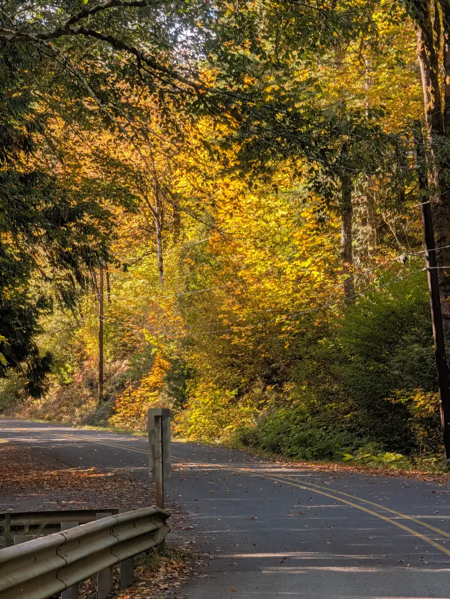
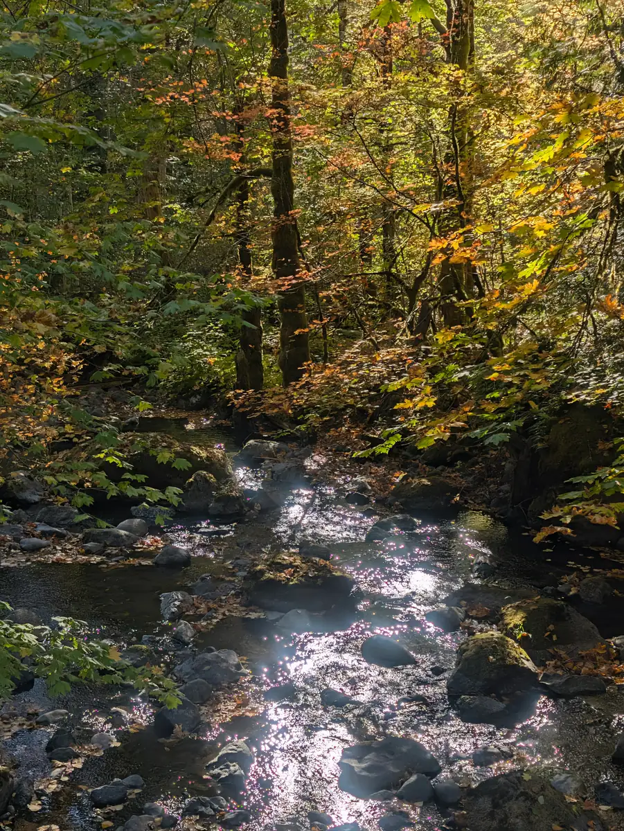
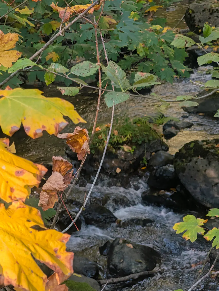
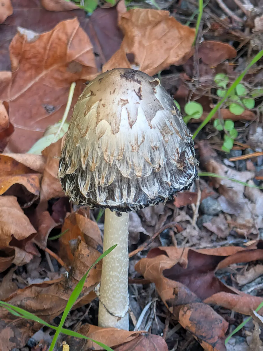
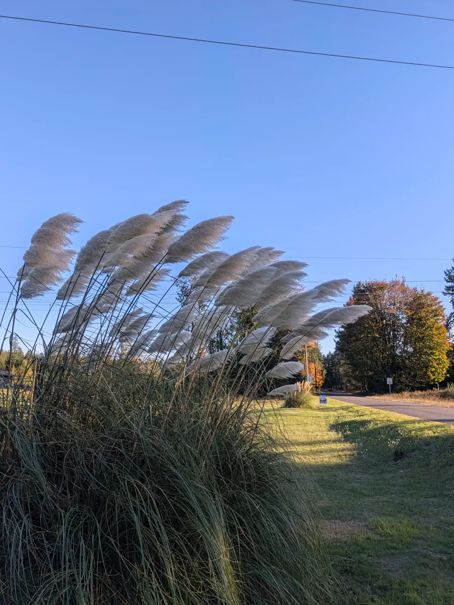
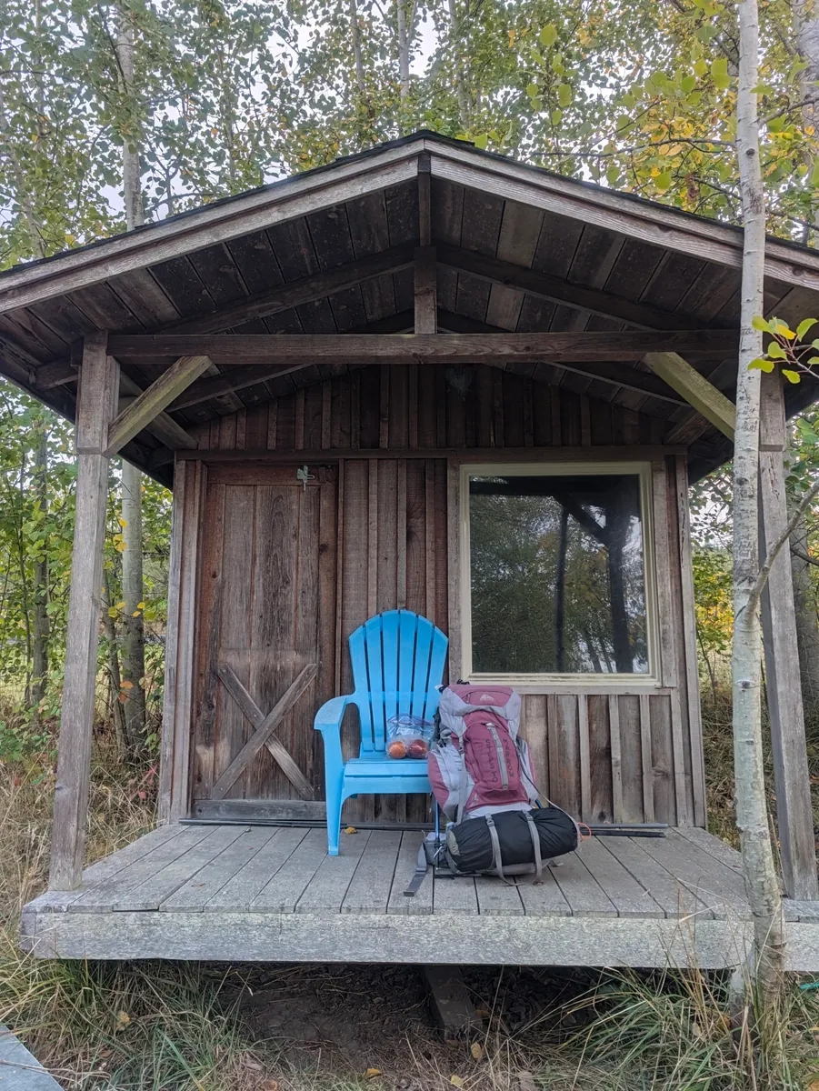
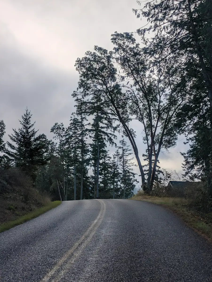
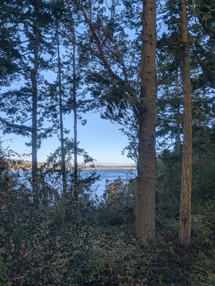
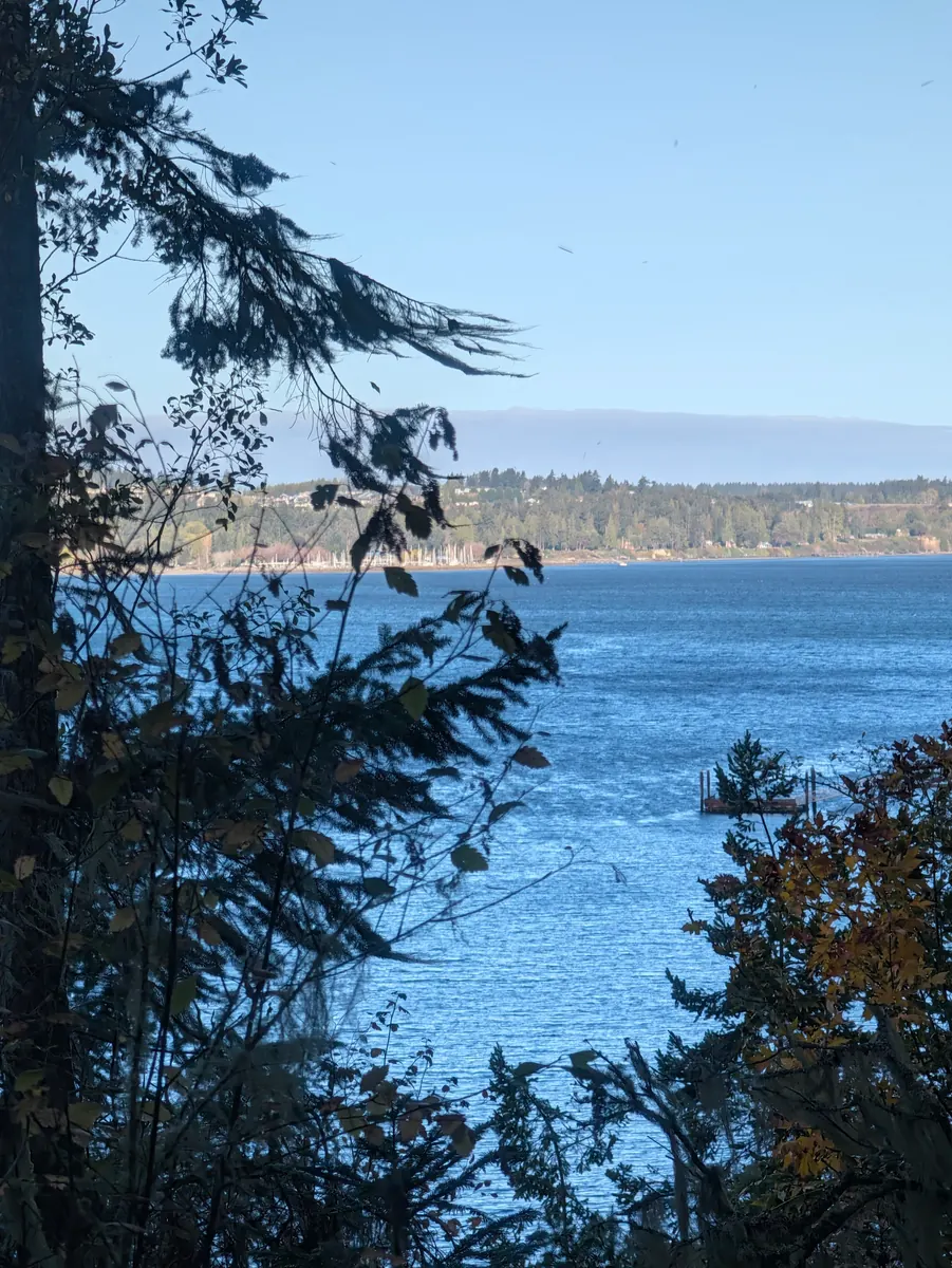
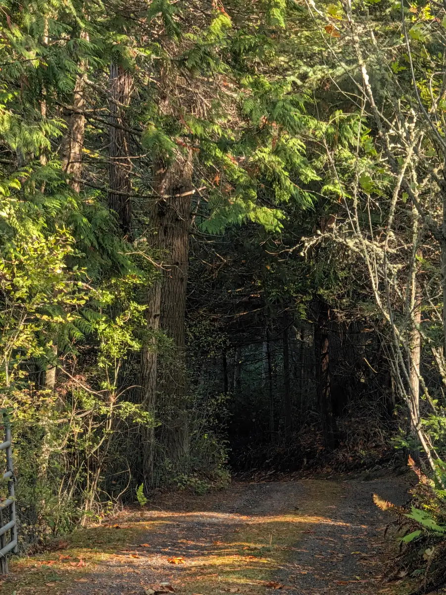
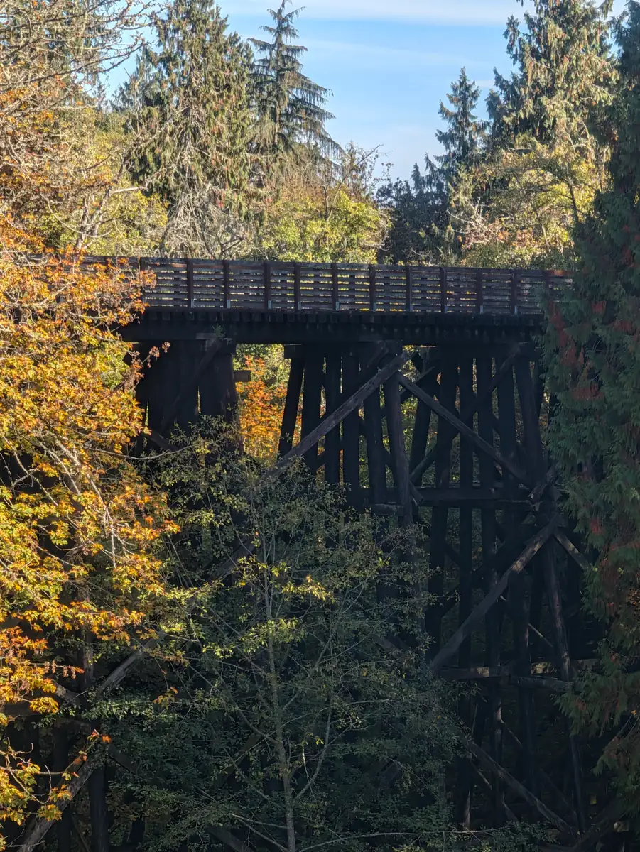
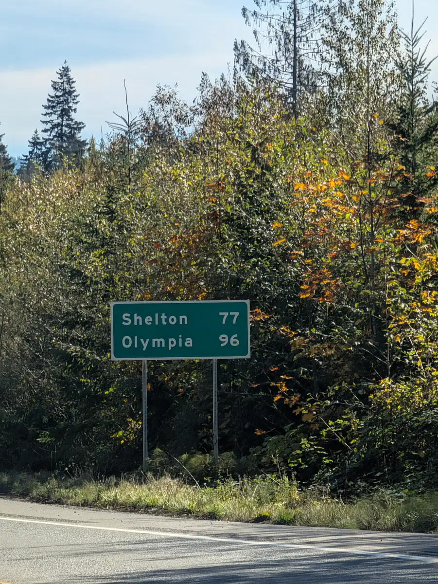

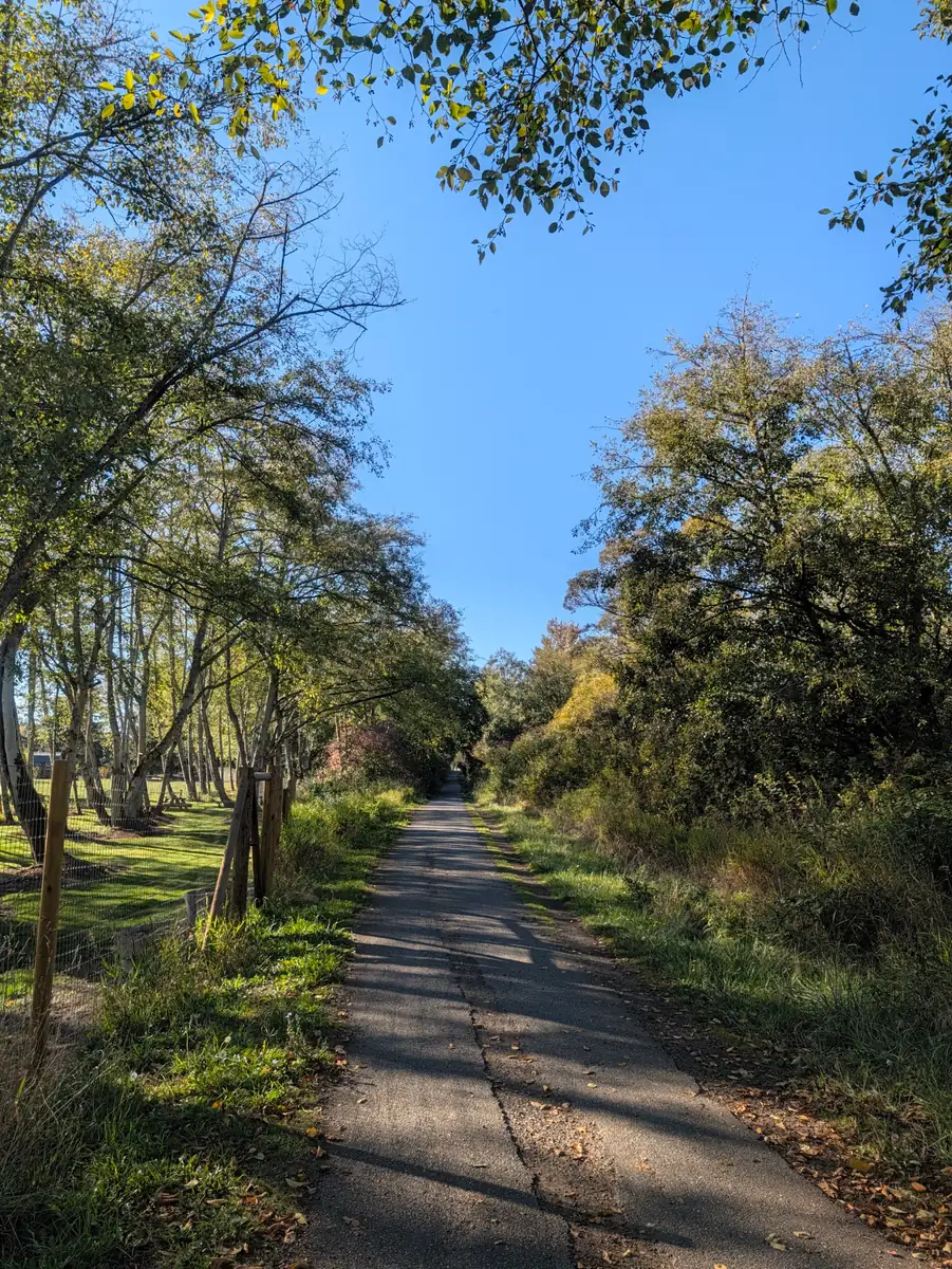
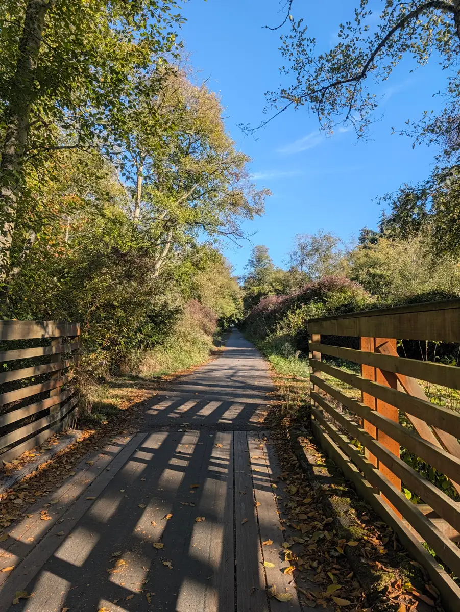
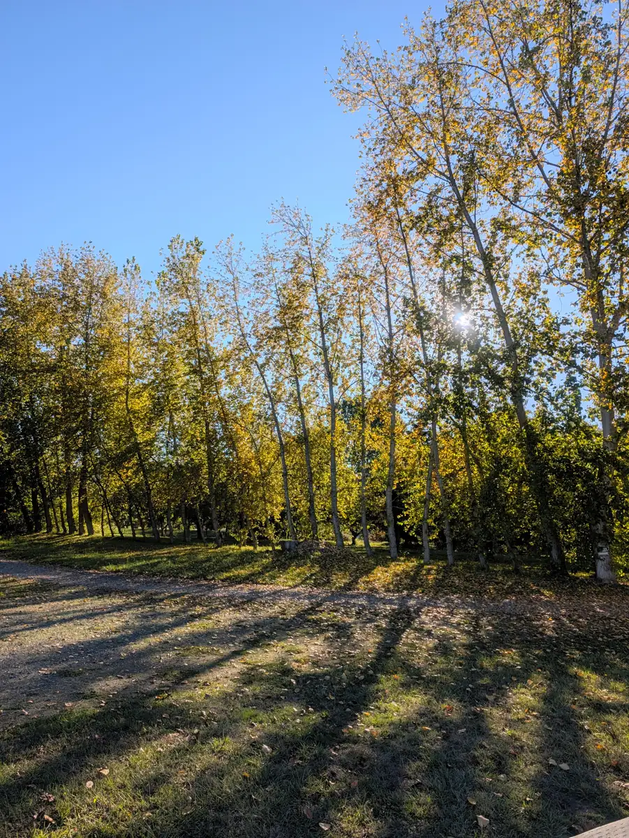
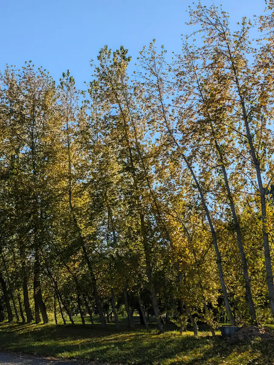
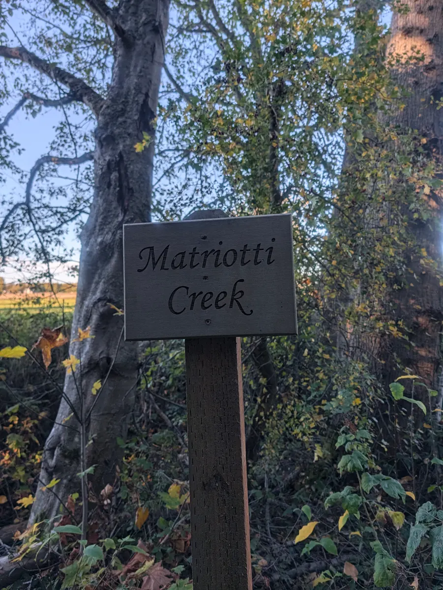
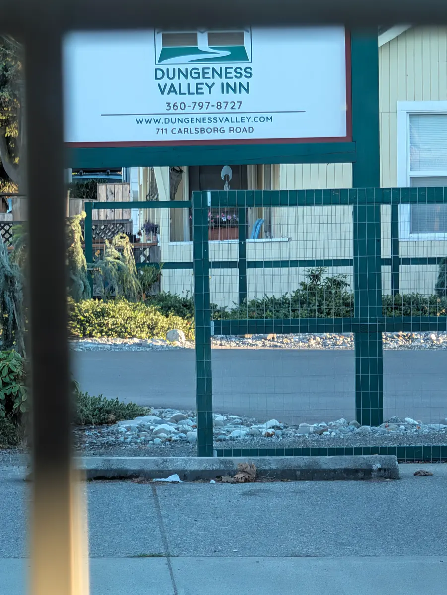
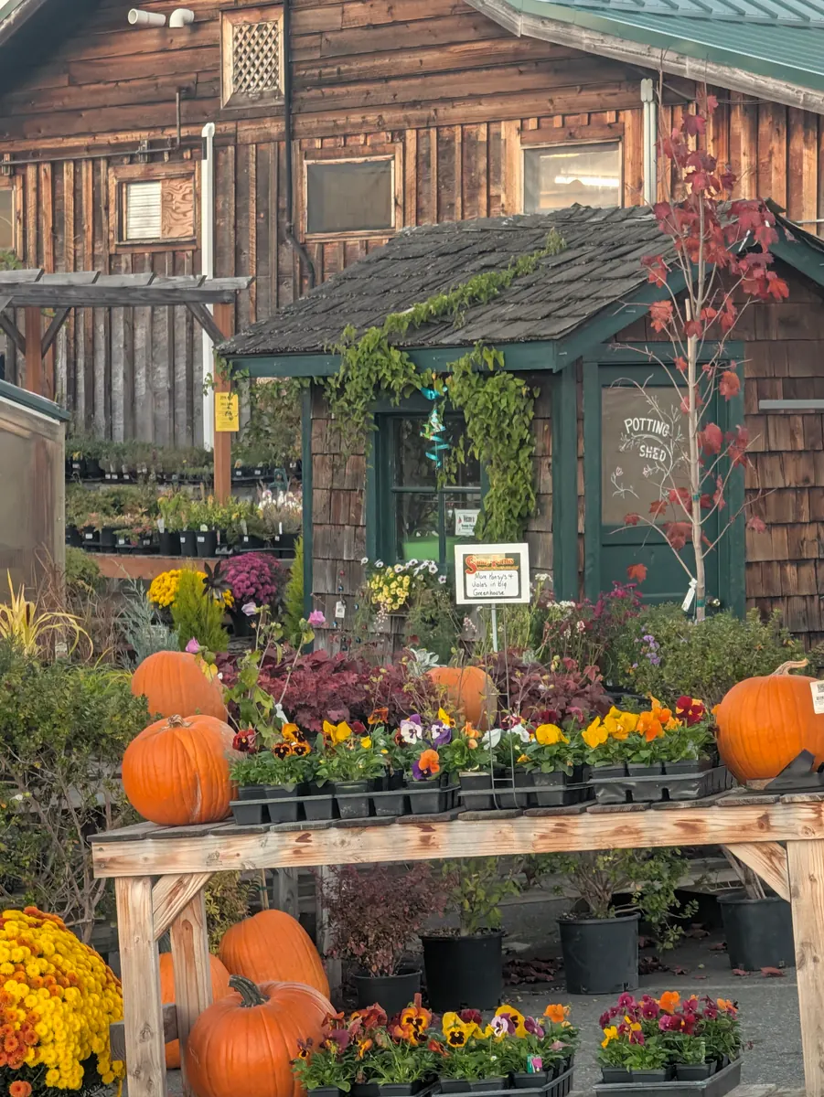

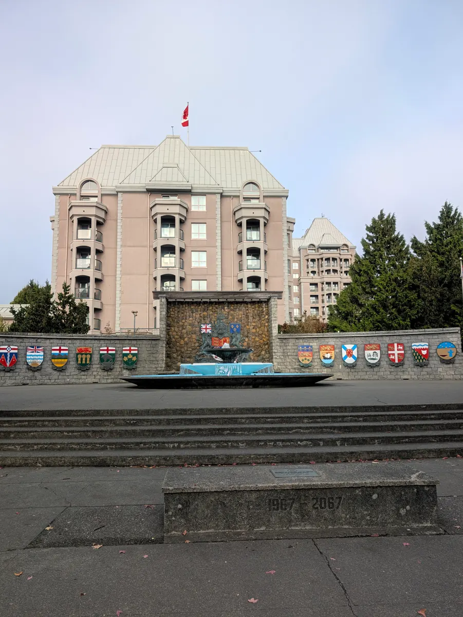

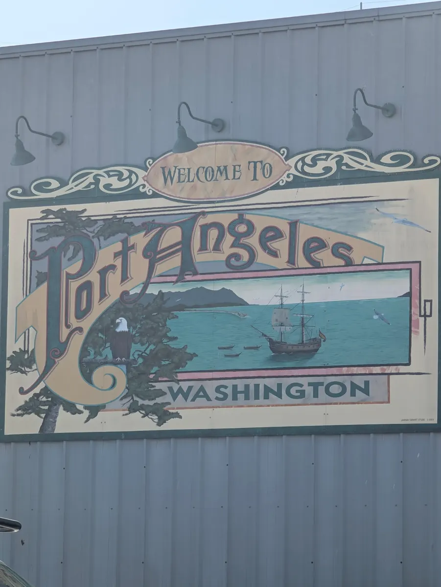
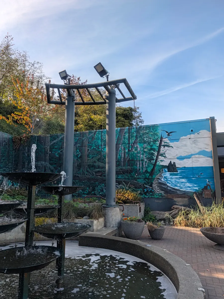
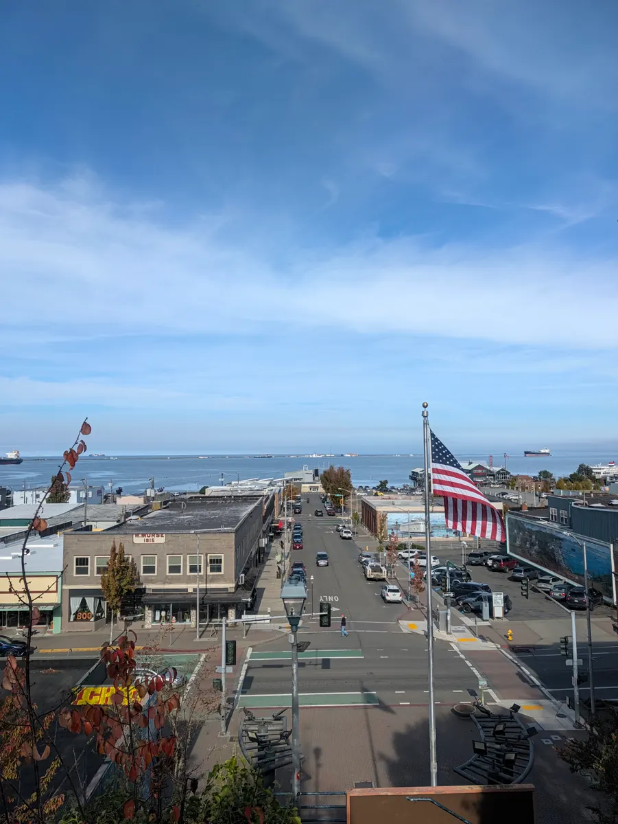
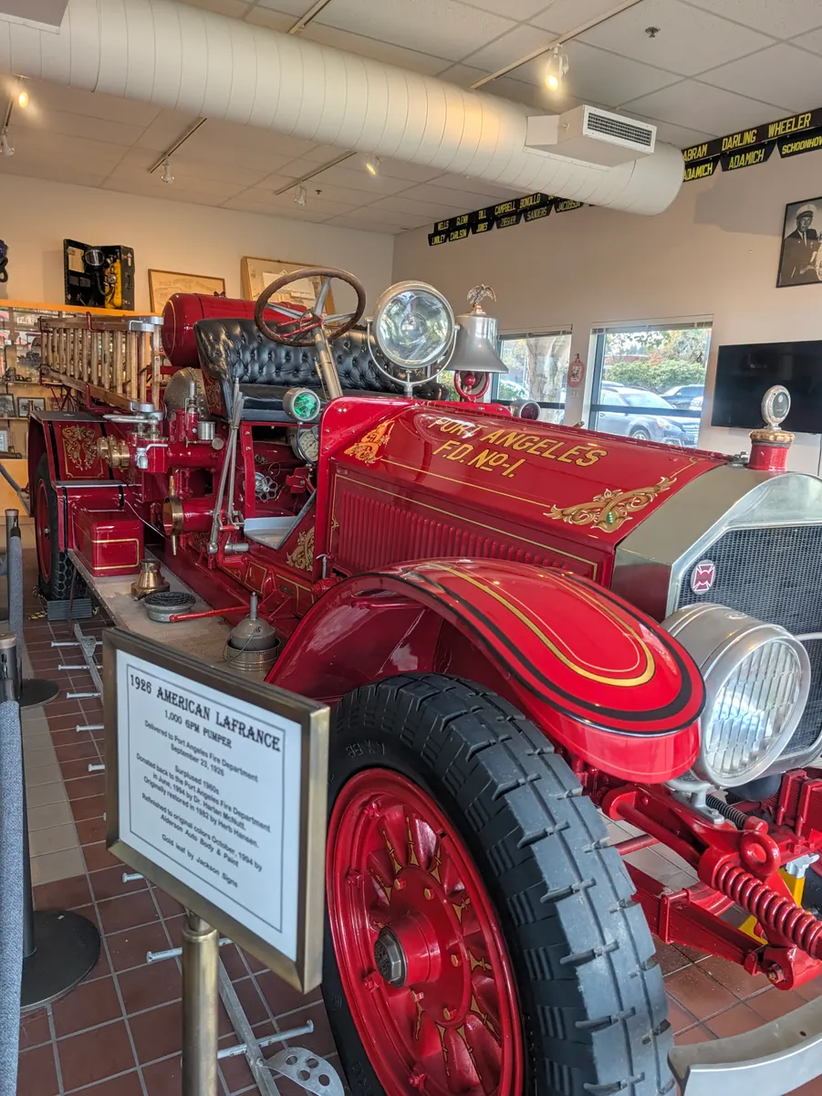
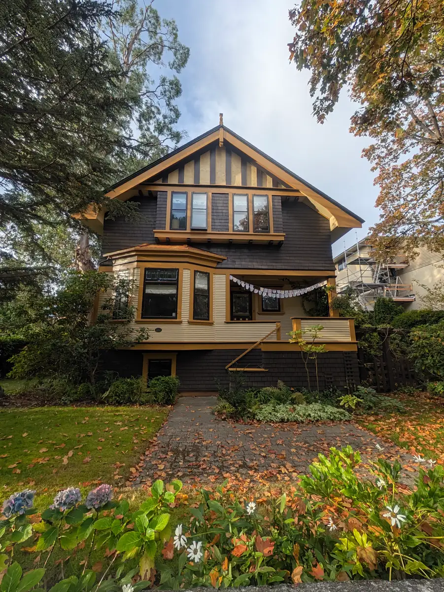




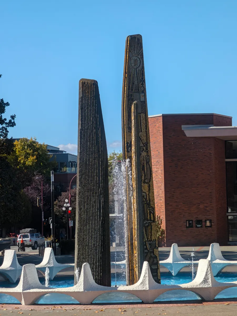

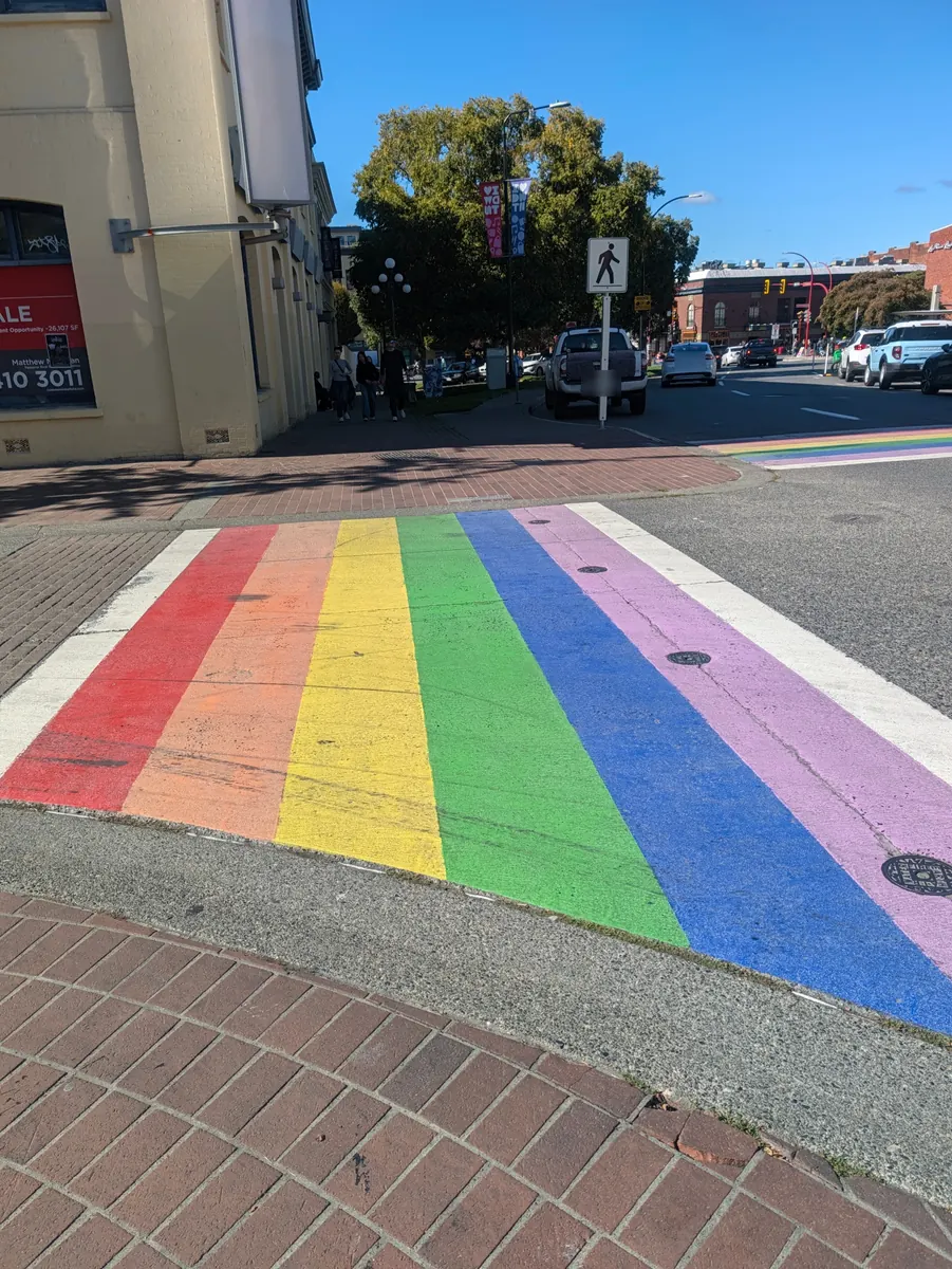
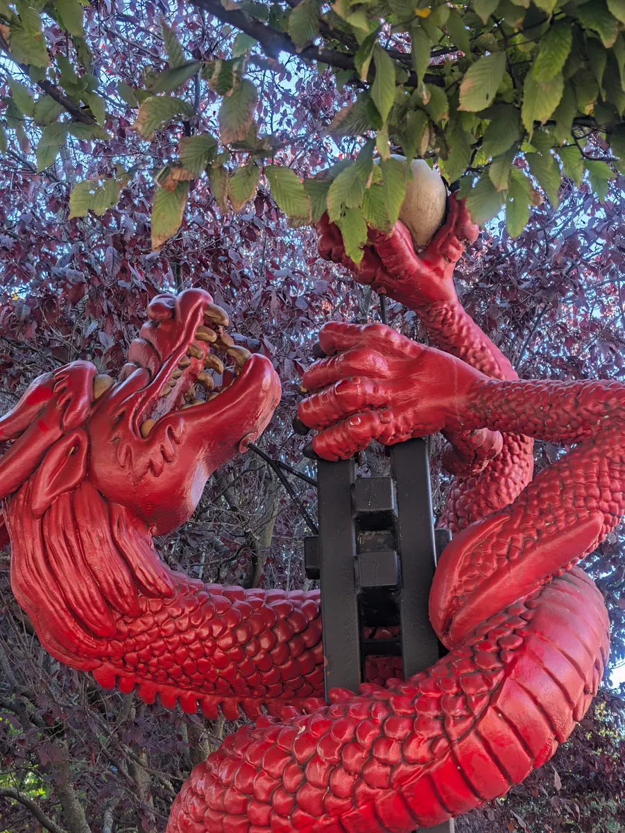
Day by day
The route, in order
Follow the published itinerary, with the story and practical details for each stop.

Start · Scheduled earlier
Start — Fred Hutch at UW Medical Center, Seattle
Fred Hutch at UW Medical Center – Montlake, Seattle, Washington
The walk started at Fred Hutch at UW Medical Center–Montlake on September 7, 2026. Seattle’s transplant history gives the opening chapter its context, but the work began well…
Ridgecrest, Shoreline—the first day’s planned destination. Illustration.
Walking departureDay 1 · Scheduled earlier
Ridgecrest, Shoreline
Washington
The first 7.7 planned walking miles lead from Seattle to Ridgecrest, Shoreline. Its school and movie theater followed the neighborhood’s rapid growth in the 1940s.
7.7 planned walking miles
Day 2 · Scheduled earlier
Martha Lake
Martha Lake Park, Snohomish County, Washington
Day 2 is planned to end at Martha Lake after 10.3 miles. The county park preserves a shoreline that local residents wanted kept in public use.
10.3 planned walking miles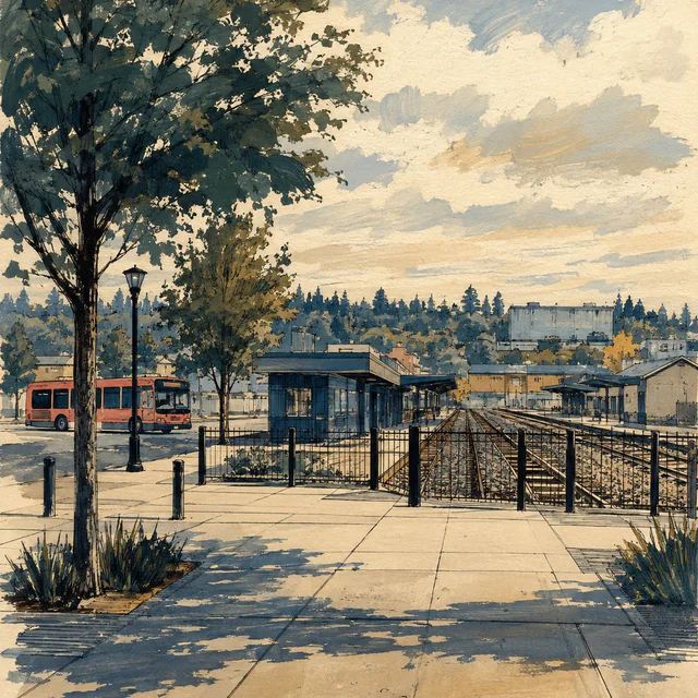
Day 3 · Scheduled earlier
Everett
Everett Station, Everett, Washington
The planned 10.8-mile leg reaches Everett Station. Everett’s waterways and transport history frame the first city pause, with an Awareness Day scheduled next.
10.8 planned walking miles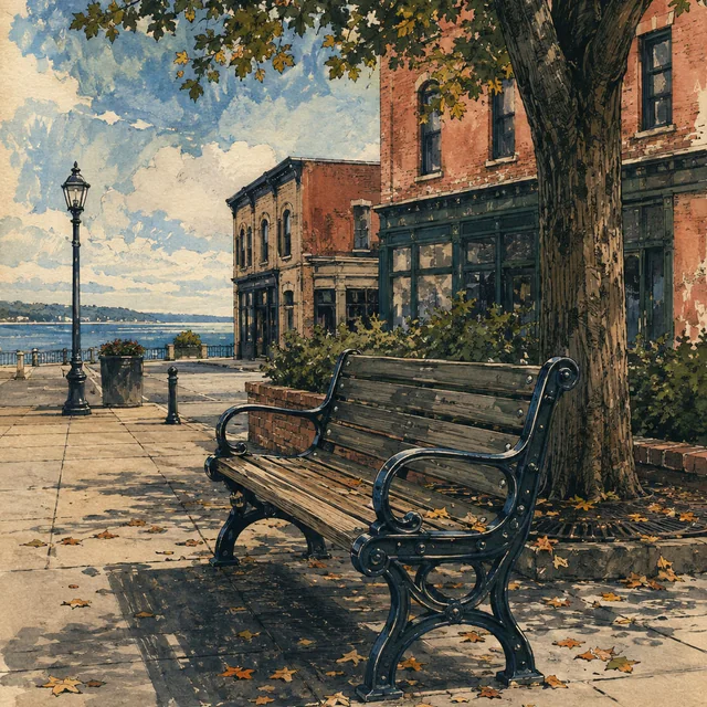
Day 4 · Scheduled earlier
Bone Marrow Awareness Day — Everett
Downtown Everett, Washington
Day 4 is the first of ten planned Bone Marrow Awareness Days. The itinerary pauses its walking miles in Everett before continuing toward the Stillaguamish and Skagit valleys.
Awareness DayNo planned route miles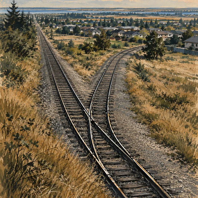
Day 5 · Scheduled earlier
Kruse Junction
Marysville, Washington
The planned 11.9-mile leg continues through the Marysville area to Kruse Junction. Railways and timber helped shape the city through which this stage passes.
11.9 planned walking miles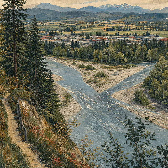
Day 6 · Scheduled earlier
Arlington
Washington
Day 6 is planned as 12 miles to Arlington. River travel, the railway and the Centennial Trail each leave a different layer in the town’s history.
12 planned walking miles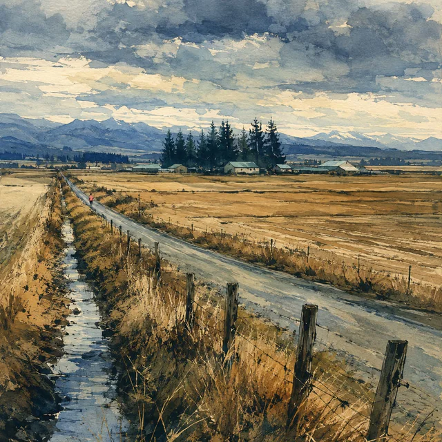
Day 7 · Scheduled earlier
Bertelsen Winery
Starbird Road, Mount Vernon, WA
The planned 15.1-mile stage ends at Bertelsen Winery on Starbird Road. The family-owned winery opened in 2014 on a hillside in southern Skagit County.
15.1 planned walking miles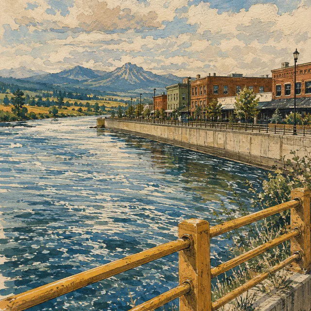
Day 8 · Scheduled earlier
Mount Vernon
Washington
The itinerary reaches Mount Vernon after 8.6 planned miles. Its riverfront combines public space with flood protection, and its cancer center serves communities across several…
8.6 planned walking miles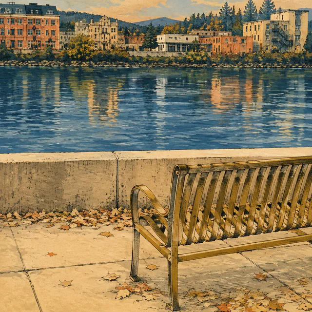
Day 9 · Scheduled earlier
Bone Marrow Awareness Day — Mount Vernon
Downtown Mount Vernon, on the Skagit River
The second planned Awareness Day remains in Mount Vernon. It carries no planned route miles and offers a place in the itinerary to distinguish registration from donation.
Awareness DayNo planned route miles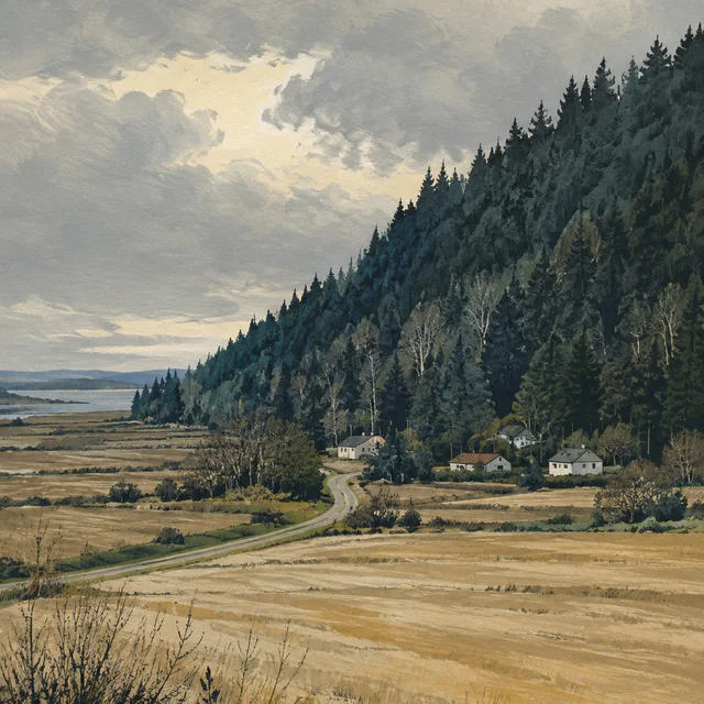
Day 10 · Scheduled earlier
Blanchard
Skagit County, WA
The planned 13.6-mile day reaches Blanchard at the southern end of the Chuckanut section. The state forest above it has a history of logging, fire and public management.
13.6 planned walking miles
Day 11 · Scheduled earlier
Chuckanut Drive
Chuckanut Drive corridor at Larrabee State Park, Whatcom County, WA
The 6.8 planned miles follow the Chuckanut corridor beside Washington’s first state park. Water-line construction at the park was scheduled to overlap this stage.
6.8 planned walking miles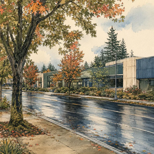
Day 12 · Scheduled earlier
PeaceHealth St. Joseph Medical Center
2901 Squalicum Parkway, Bellingham, WA
The planned nine-mile leg reaches the St. Joseph Medical Center area. Its community-care history begins in 1891 and continues through the cancer center on Squalicum Parkway.
9 planned walking miles
Day 13 · Scheduled earlier
Bone Marrow Awareness Day — Bellingham
Bellingham, WA
A planned Awareness Day follows the Bellingham walking stage. The city grew from four bayside communities; the day’s reading explores how transplant teams search for donors.
Awareness DayNo planned route miles
Day 14 · Scheduled earlier
Custer
Whatcom County, Washington
The planned 14.6-mile day ends in Custer. Its school history reaches from a district founded in 1891 to the building that joined the Ferndale district in 1941.
14.6 planned walking miles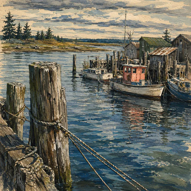
Day 15 · Scheduled earlier
Blaine
Washington
The planned 7.5-mile leg reaches Blaine before the Peace Arch crossing. Fishing, logging and the international boundary are part of the city’s own account of its history.
7.5 planned walking miles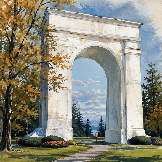
Day 17 · Scheduled earlier
Elgin, Surrey
Elgin, South Surrey, British Columbia
The crossing to Elgin, Surrey, was planned for September 22, 2026, World Marrow Donor Day. Jeana rested in Blaine that day with a cold and walked across the border on September…
8.6 planned walking miles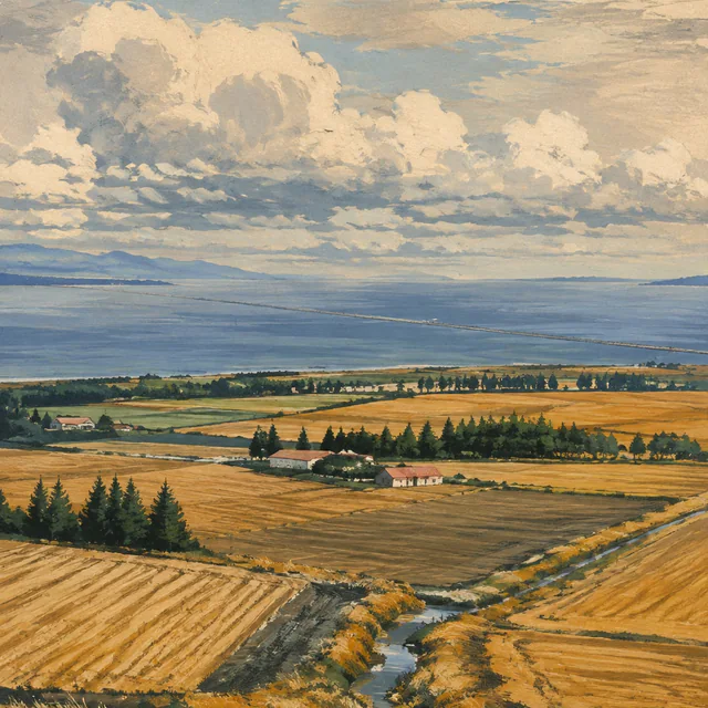
Day 21 · Scheduled earlier
Tsawwassen, Delta
Winskill Park, Tsawwassen, Delta, BC
Jeana started Day 21 on Ladner Trunk Road in Delta. The planned stage runs about 9.8 miles south and west, partly along the Boundary Bay dyke trail, to Tsawwassen, in the…
9.8 planned walking miles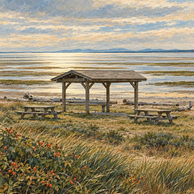
Day 22 · Scheduled earlier
Bone Marrow Awareness Day — Tsawwassen
Tsawwassen, Delta, British Columbia
The fourth planned Awareness Day is spent in Tsawwassen, with no walking planned. Jeana plans to spend it recruiting marrow donors in the Tsawwassen First Nation community. The…
Awareness DayNo planned route miles
Day 23 · Scheduled earlier
Second Bone Marrow Awareness Day — Tsawwassen
Tsawwassen, Delta, British Columbia
A second planned Awareness Day in Tsawwassen, before the ferry to Swartz Bay. The day’s reading turns to how a donor search can cross borders.
Awareness DayNo planned route miles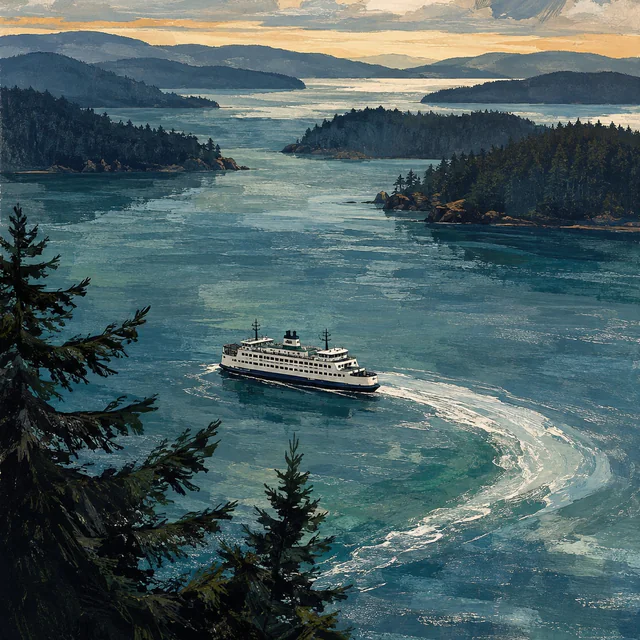
Day 24 · Scheduled earlier
Sidney, Vancouver Island
Town of Sidney Municipal Hall, 2440 Sidney Avenue, Sidney, BC
Day 24 takes the Tsawwassen–Swartz Bay ferry to Vancouver Island, with 8.5 planned walking miles on land before and after the crossing, ending in Sidney. Water miles are excluded.
Ferry + walking8.5 planned walking milesWater crossing excluded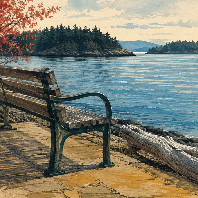
Day 25 · Scheduled earlier
Bone Marrow Awareness Day — Sidney
Sidney town centre, British Columbia
The sixth planned Awareness Day remains in Sidney. No route miles are scheduled before the next stage south along the Saanich Peninsula to Saanichton.
Awareness DayNo planned route miles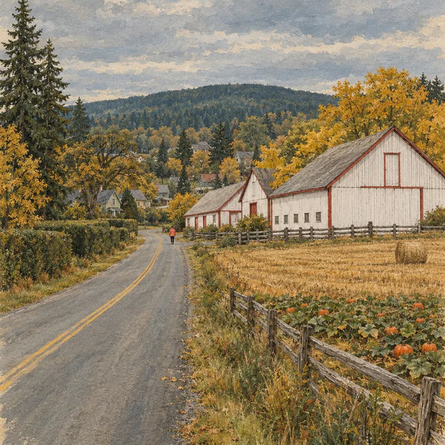
Day 26 · Scheduled earlier
Saanichton
Central Saanich, British Columbia
The planned 4.7-mile stage heads south from Sidney to Saanichton, in Central Saanich, a municipality formed in 1950 to protect its rural heritage.
4.7 planned walking miles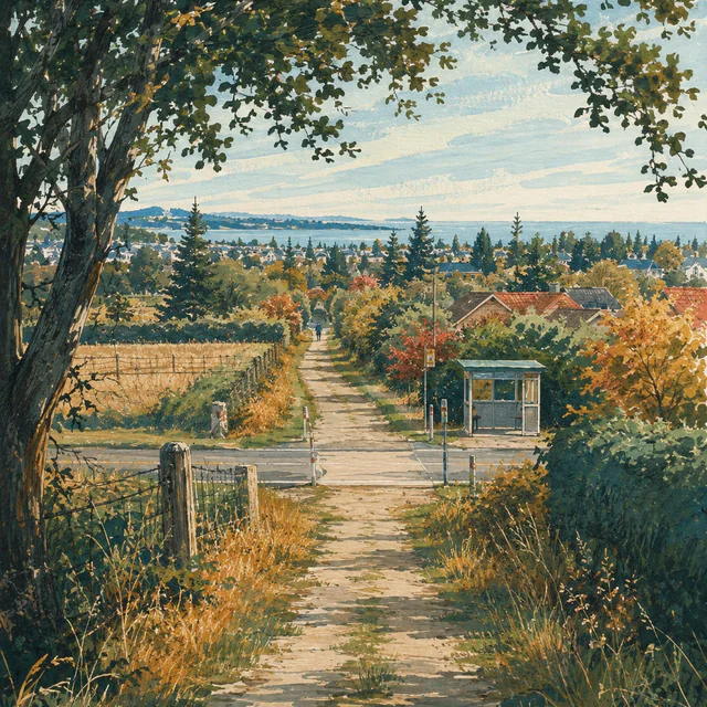
Day 27 · Scheduled earlier
Royal Oak, Saanich
British Columbia
The planned 8-mile leg heads south from Saanichton to Royal Oak, Saanich. A former municipal center and a railway trail give this suburban area a layered history.
8 planned walking miles
Day 28 · Scheduled earlier
Victoria
Inner Harbour, Victoria, British Columbia
The planned 5.8-mile stage reaches Victoria, where the walk is back on its original schedule. The provincial capital ends this island walking section, with an Awareness Day and…
5.8 planned walking miles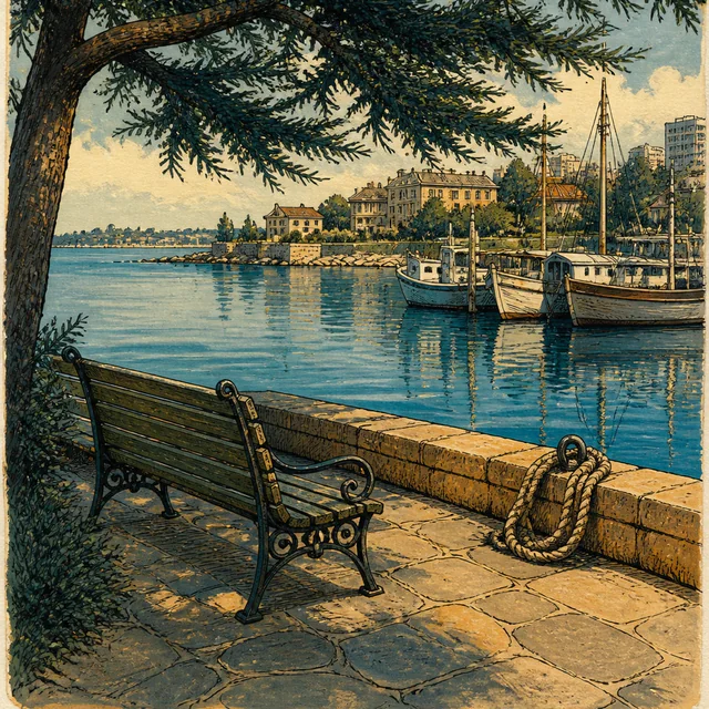
Day 29 · Scheduled earlier
Bone Marrow Awareness Day — Victoria
Downtown Victoria, British Columbia
The seventh planned Awareness Day remains in Victoria before the return crossing. The walking miles pause, with time in the itinerary to learn what joining a registry may involve.
Awareness DayNo planned route miles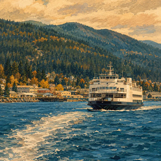
Day 30 · Scheduled earlier
Port Angeles East
East Port Angeles, WA
Day 30 combines the planned Victoria–Port Angeles ferry with 4.4 walking miles in Washington. The crossing’s water distance is excluded from the mileage total.
Ferry + walking4.4 planned walking milesWater crossing excluded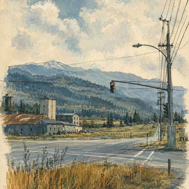
Day 31 · Scheduled earlier
Carlsborg
Clallam County, WA
Day 31 is planned as 11 miles to Carlsborg. The county’s history describes a community built around lumber, agriculture and local services.
11 planned walking miles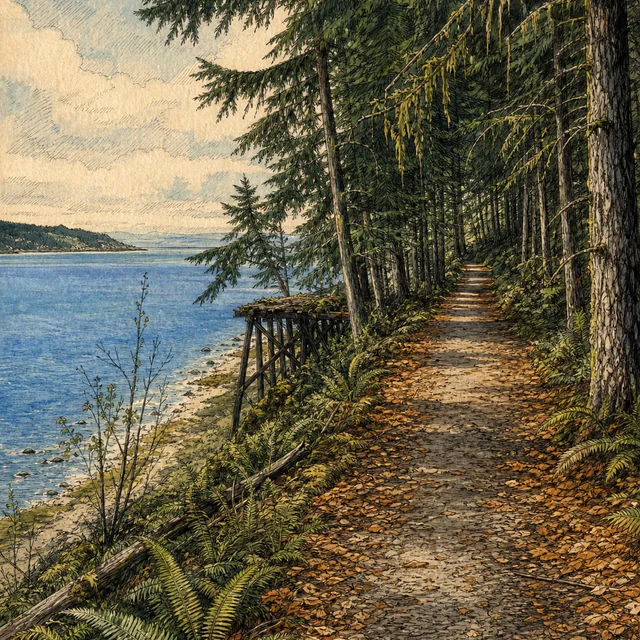
Day 32 · Scheduled earlier
Blyn
Clallam County, WA
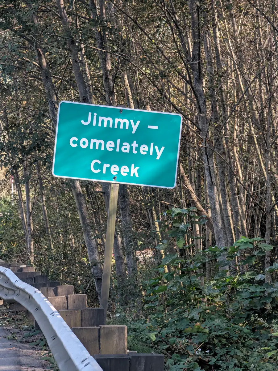
The planned 10.4-mile stage reaches Blyn. The Olympic Discovery Trail carries part of the region’s railway history, alongside road sections that need their own attention.
10.4 planned walking miles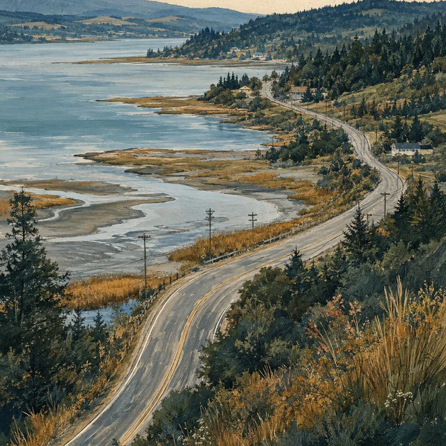
Day 33 · Scheduled earlier
Discovery Bay
Jefferson County, WA
Day 33 is planned as 9.7 miles to Discovery Bay. The next stage turns toward Quilcene and the communities along Hood Canal.
9.7 planned walking miles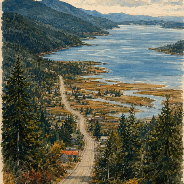
Day 34 · Scheduled earlier
Quilcene
Jefferson County, WA
The planned 14.5-mile stage reaches Quilcene before an Awareness Day. Its rivers and salmon history connect the Olympic Mountains with Hood Canal.
14.5 planned walking miles
Day 35 · Scheduled earlier
Bone Marrow Awareness Day — Quilcene
Quilcene, Jefferson County, WA
The eighth planned Awareness Day remains in Quilcene. No route miles are scheduled between the Discovery Bay approach and the next stage toward Brinnon.
Awareness DayNo planned route miles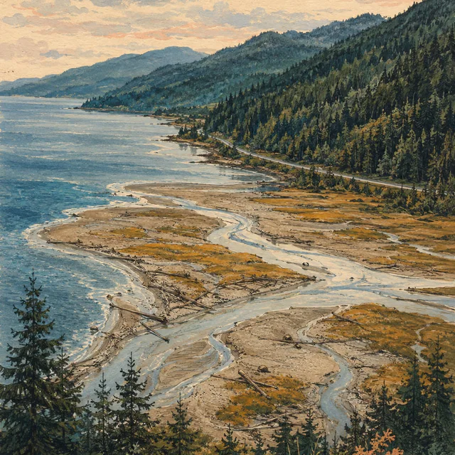
Day 36 · Scheduled earlier
Brinnon
Jefferson County, Washington
The planned 12.6-mile stage reaches Brinnon on Hood Canal. The Dosewallips brings sediment from the Olympics into a braided estuary at the water’s edge.
12.6 planned walking miles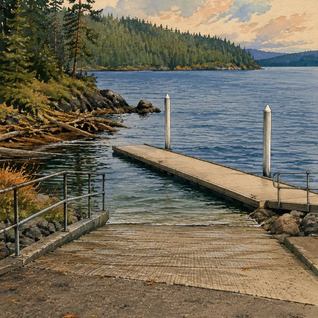
Day 37 · Scheduled earlier
Triton Cove State Park
US Highway 101, Brinnon, Washington
The planned 7.1-mile stage reaches Triton Cove State Park. Its 555 feet of shoreline form a small public access point along Hood Canal.
7.1 planned walking miles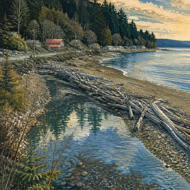
Day 38 · Scheduled earlier
Lilliwaup
Mason County, Washington
The planned 12.7-mile leg reaches Lilliwaup, where an 1890 government expedition began its journey into the southern Olympics.
12.7 planned walking miles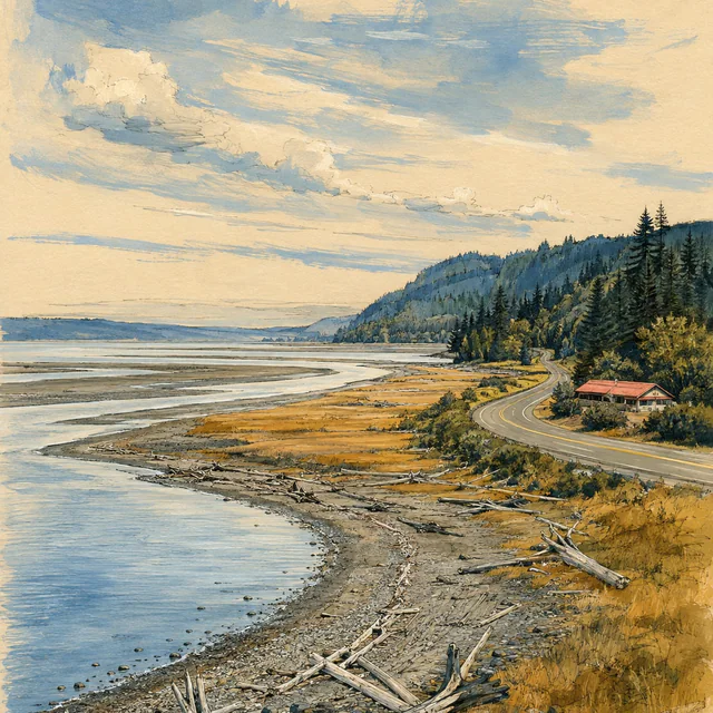
Day 39 · Scheduled earlier
Potlatch
Potlatch State Park, US Highway 101, Mason County, Washington
Day 39 is planned as 9.8 walking miles to the Potlatch area. The Great Bend marks a change in the route’s relationship with Hood Canal before the approach to Shelton.
9.8 planned walking miles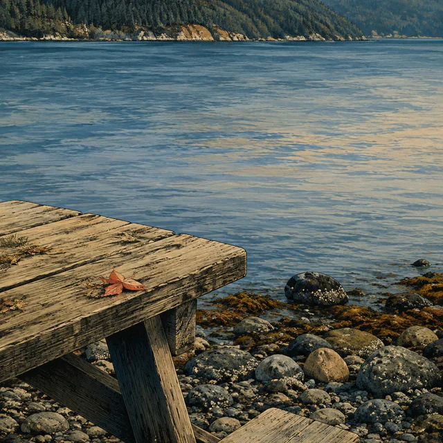
Day 40 · Planned
Bone Marrow Awareness Day — Hood Canal
US Highway 101, Hood Canal, Mason County, Washington
The ninth planned Awareness Day remains on Hood Canal. No route miles are scheduled before the final chapter through Shelton to Olympia.
Awareness DayNo planned route miles
Day 41 · Planned
Shelton
Mason County, WA
The planned 11.1-mile leg reaches Shelton, Mason County’s seat and only incorporated city. Its local hospital district adds another layer to the city’s public-service history.
11.1 planned walking miles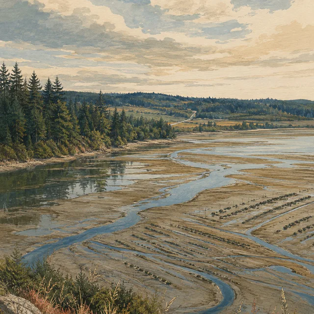
Day 42 · Planned
Kamilche
Mason County, WA
The planned 8.7-mile stage reaches Kamilche, followed by two walking days to the Capitol. Little Skookum Inlet is part of the area’s working-waterfront context.
8.7 planned walking miles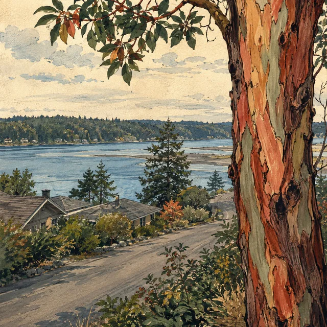
Day 43 · Planned
Madrona Beach
Thurston County, WA
Day 43 is planned as 11.4 miles to Madrona Beach. Eld Inlet and its creek basin provide the setting for the final stop before the Capitol walking stage.
11.4 planned walking miles
Day 44 · Planned
Olympia — Washington State Capitol
Washington State Capitol campus, Olympia, WA
The final walking stage is planned as 9.5 miles to the Legislative Building in Olympia. The campaign continues with a separate Awareness Day on Day 45.
9.5 planned walking miles
Day 45 · Planned
Finish — Bone Marrow Awareness Day, Olympia
Olympia, WA
Day 45 is the tenth planned Awareness Day and the end of the campaign itinerary. No route miles are scheduled after the Capitol walking stage.
Awareness DayNo planned route miles
The journey continues with a choice
Find your official registry
A form, a cheek swab, and a decision made before someone needs you
JBF will point you to the official registry for your country. The registry decides eligibility, handles registration and contacts you if you may match a patient.
- Choose where you live.
- Read the official registry’s age range and what donation can involve.
- If you are ready, continue to the registry’s own site.
Choose where you live
Continue to the official registry that serves you. It decides eligibility, handles registration and contacts you if you may match a patient.
Choose an official registry directly:
Browse all official registry options
Eligibility rules can change. Confirm the current requirements with the official registry before joining.
Give to the Jada Bascom Foundation
Choose a symbolic amount or enter your own in Givebutter. Your donation supports JBF’s work wherever it is needed most.
Sponsoring a mile, a day or a stop is a way of describing a gift to the Jada Bascom Foundation. It does not purchase anything on the route.
$100.00 is a suggested amount. Confirm or change it in Givebutter.
Choose how to help
Learn about joining your official marrow donor registry, or donate to the Jada Bascom Foundation’s education and outreach.
Share the registry information or invite someone to support JBF’s outreach. More about supporting the walk.
Checked before it was published
Sources
Local history, the family story and registry guidance behind this journey. For current eligibility and donation information, follow the official registry’s guidance.
- A pioneering paper turns 50Checked Sep 5, 2026
- About Bertelsen WineryChecked Sep 5, 2026
- About Black Ball Ferry LineChecked Sep 5, 2026
- About BlaineChecked Sep 5, 2026
- About Custer ElementaryChecked Sep 5, 2026
- About DeltaChecked Sep 27, 2026
- About EverettChecked Sep 5, 2026
- About Mason HealthChecked Sep 5, 2026
- Blanchard State ForestChecked Sep 5, 2026
- Boundary Bay Regional ParkChecked Sep 27, 2026
- Carlsborg Final Environmental Impact StatementChecked Sep 5, 2026
- Contact us and directionsChecked Sep 27, 2026
- Culture and heritageChecked Sep 5, 2026
- Dosewallips State Park historyChecked Sep 5, 2026
- Downtown and waterfront master planChecked Sep 5, 2026
- Ethnic diversity and stem cell donationChecked Sep 27, 2026
- Everett stationChecked Sep 5, 2026
- Farm Kids teacher notesChecked Sep 5, 2026
- Finding a blood stem cell donorChecked Sep 5, 2026
- Fish and Wildlife News, September–October 1999Checked Sep 5, 2026
- Foot passenger check-in and boardingChecked Sep 5, 2026
- Grandma walks continents to save lives after granddaughter’s leukemia battle (CityNews Vancouver)Checked Sep 28, 2026
- Grandma’s mission to register bone marrow donors (CTV News Vancouver)Checked Sep 28, 2026
- History and heritage sitesChecked Sep 27, 2026
- History of ArlingtonChecked Sep 5, 2026
- History of Fred HutchChecked Sep 5, 2026
- History of MarysvilleChecked Sep 5, 2026
- Hood CanalChecked Sep 5, 2026
- How an Indigenous stem cell donor saved a life on Canada’s opposite coastChecked Sep 27, 2026
- Jada, Torsten and the reason for the walkChecked Sep 25, 2026
- Join the donor registryChecked Sep 5, 2026
- Larrabee State Park — July 1, 2026 construction alertChecked Sep 5, 2026
- Larrabee State Park historyChecked Sep 5, 2026
- Larrabee water system overhaulChecked Sep 5, 2026
- Legislative BuildingChecked Sep 5, 2026
- Lochside Regional TrailChecked Sep 5, 2026
- Main Street walking tourChecked Sep 5, 2026
- Martha Lake ParkChecked Sep 5, 2026
- McLane Creek Basin studyChecked Sep 5, 2026
- Olympic National Park administrative historyChecked Sep 5, 2026
- Our community history in the Pacific NorthwestChecked Sep 5, 2026
- Potlatch State Park historyChecked Sep 5, 2026
- Quilcene National Fish Hatchery: about usChecked Sep 5, 2026
- Ridgecrest historyChecked Sep 5, 2026
- Saanich heritage register: Royal OakChecked Sep 5, 2026
- Shoreline District aquatic transactionsChecked Sep 5, 2026
- Stem cell donation eligibility and registrationChecked Sep 5, 2026
- Stewart FarmhouseChecked Sep 5, 2026
- The Olympic Discovery TrailChecked Sep 5, 2026
- The Saanich FairChecked Sep 27, 2026
- Vancouver (Tsawwassen) terminalChecked Sep 5, 2026
- Victoria’s past, present and futureChecked Sep 5, 2026
- Welcome to SheltonChecked Sep 5, 2026
- World Marrow Donor Day 2026Checked Sep 5, 2026