Back to The Marrow Walk

An illustrated itinerary

The walk, stop by stop

Explore all 46 stops in route order, from Seattle’s departure to Olympia’s final Awareness Day.

Planned dates
Walking distance
356.2 miles
Days
45
Stops
46

Seattle to Everett

  1. Gouache and ink illustration of a leafy Shoreline sidewalk beside a small theater, with a tall blue facade, blank marquee and a distant walker in coral.

    Start · Scheduled earlier

    Start — Fred Hutch at UW Medical Center, Seattle

    Fred Hutch at UW Medical Center – Montlake, Seattle, Washington

    The planned start is Fred Hutch at UW Medical Center–Montlake. Seattle’s transplant history gives the opening chapter its context, but the work began well before this hospital…

    Ridgecrest, Shoreline—the first day’s planned destination. Illustration.

    Walking departure
  2. Gouache and ink illustration of a leafy Shoreline sidewalk beside a small theater, with a tall blue facade, blank marquee and a distant walker in coral.

    Day 1 · Scheduled earlier

    Ridgecrest, Shoreline

    Washington

    The first 7.7 planned walking miles lead from Seattle to Ridgecrest, Shoreline. Its school and movie theater followed the neighborhood’s rapid growth in the 1940s.

    7.7 planned walking miles
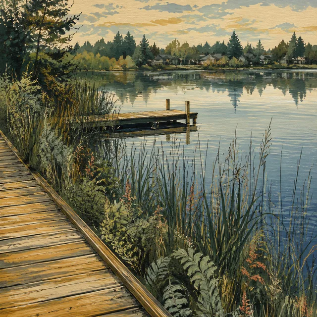
  3. Gouache illustration of a wooden boardwalk and dock beside a calm lake, with reeds in the foreground and houses reflected across the water.

    Day 2 · Scheduled earlier

    Martha Lake

    Martha Lake Park, Snohomish County, Washington

    Day 2 is planned to end at Martha Lake after 10.3 miles. The county park preserves a shoreline that local residents wanted kept in public use.

    10.3 planned walking miles
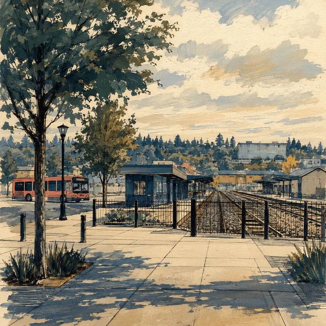
  4. Gouache and ink view of a broad station forecourt, rail tracks behind a black fence and a coral-colored bus beside low station buildings.

    Day 3 · Scheduled earlier

    Everett

    Everett Station, Everett, Washington

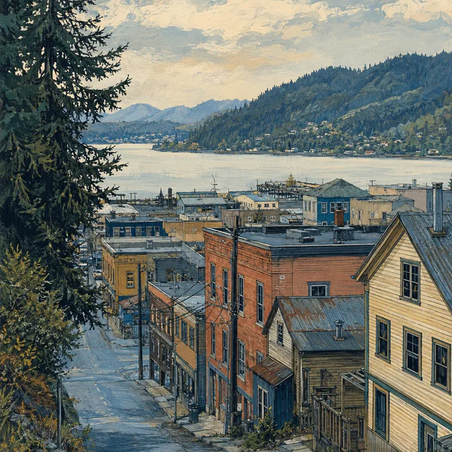
    The planned 10.8-mile leg reaches Everett Station. Everett’s waterways and transport history frame the first city pause, with an Awareness Day scheduled next.
    10.8 planned walking miles
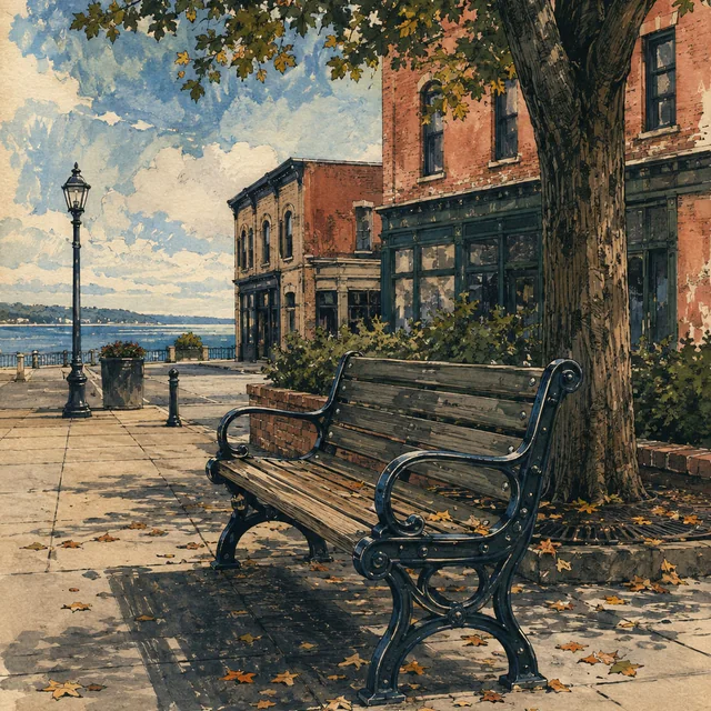
  5. An empty wooden bench under a broad tree beside brick storefronts, with fallen leaves, a streetlamp and blue water beyond, painted in gouache and ink.
    Day 4 · Planned

    Bone Marrow Awareness Day — Everett

    Downtown Everett, Washington

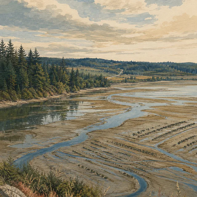
    Day 4 is the first of ten planned Bone Marrow Awareness Days. The itinerary pauses its walking miles in Everett before continuing toward the Stillaguamish and Skagit valleys.

    Awareness DayNo planned route miles

Into the Skagit

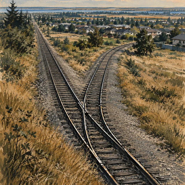
  1. Gouache illustration of railway tracks branching through dry golden grass toward low homes and distant coastal water.

    Day 5 · Planned

    Kruse Junction

    Marysville, Washington

    The planned 11.9-mile leg continues through the Marysville area to Kruse Junction. Railways and timber helped shape the city through which this stage passes.

    11.9 planned walking miles
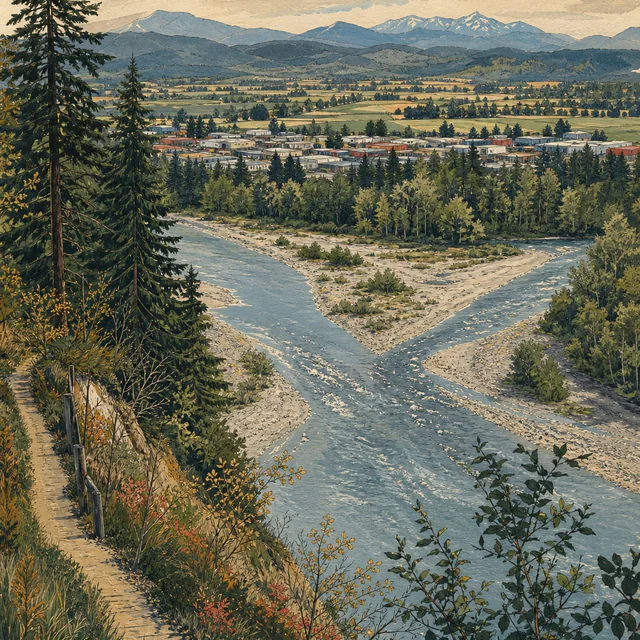
  2. Painted view from a wooded bluff over two river channels meeting around gravel bars, with a town, fields and blue mountains beyond.

    Day 6 · Planned

    Arlington

    Washington

    Day 6 is planned as 12 miles to Arlington. River travel, the railway and the Centennial Trail each leave a different layer in the town’s history.

    12 planned walking miles
  3. Gouache view of flat golden fields beside a country road and drainage ditch. A tiny walker in coral heads toward farm buildings and distant mountains.

    Day 7 · Planned

    Bertelsen Winery

    Starbird Road, Mount Vernon, WA

    The planned 15.1-mile stage ends at Bertelsen Winery on Starbird Road. The family-owned winery opened in 2014 on a hillside in southern Skagit County.

    15.1 planned walking miles
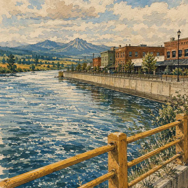
  4. Painted riverfront with brick buildings behind a concrete flood wall, an ochre railing in the foreground and blue mountains beyond the bend.

    Day 8 · Planned

    Mount Vernon

    Washington

    The itinerary reaches Mount Vernon after 8.6 planned miles. Its riverfront combines public space with flood protection, and its cancer center serves communities across several…

    8.6 planned walking miles
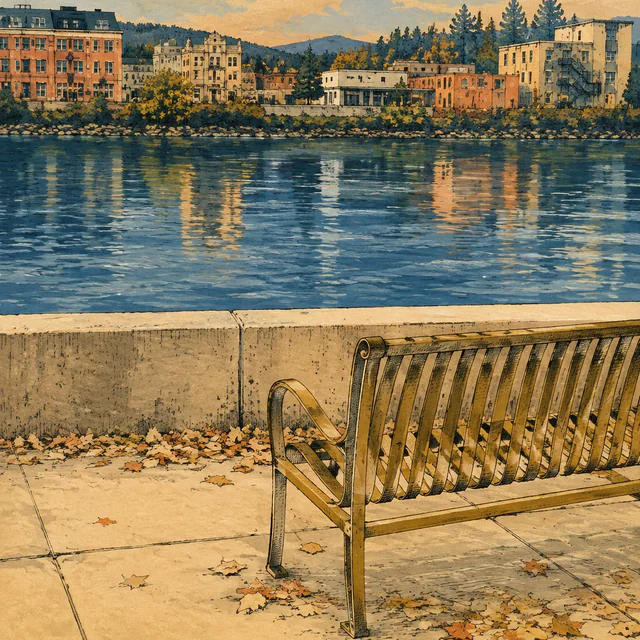
  5. Gouache illustration of an empty bench beside a low river wall. Buildings and trees on the opposite bank cast warm reflections across blue water.

    Day 9 · Planned

    Bone Marrow Awareness Day — Mount Vernon

    Downtown Mount Vernon, on the Skagit River

    The second planned Awareness Day remains in Mount Vernon. It carries no planned route miles and offers a place in the itinerary to distinguish registration from donation.

    Awareness DayNo planned route miles

Chuckanut to Bellingham

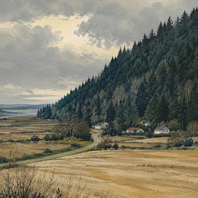
  1. A winding country road crosses golden fields toward small houses beneath a densely forested slope, with a strip of bay at left, painted in gouache.

    Day 10 · Planned

    Blanchard

    Skagit County, WA

    The planned 13.6-mile day reaches Blanchard at the southern end of the Chuckanut section. The state forest above it has a history of logging, fire and public management.

    13.6 planned walking miles
  2. Gouache and ink illustration of a narrow road curving around sandstone cliffs above blue coastal water, with fir trees and low islands beyond.

    Day 11 · Planned

    Chuckanut Drive

    Chuckanut Drive corridor at Larrabee State Park, Whatcom County, WA

    The 6.8 planned miles follow the Chuckanut corridor beside Washington’s first state park. Water-line construction overlaps this stage; check directly with Larrabee about current…

    6.8 planned walking miles
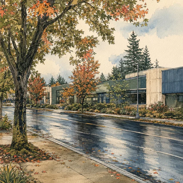
  3. Gouache street scene with autumn trees, a wet reflective road and low modern buildings across from a leaf-strewn sidewalk.

    Day 12 · Planned

    PeaceHealth St. Joseph Medical Center

    2901 Squalicum Parkway, Bellingham, WA

    The planned nine-mile leg reaches the St. Joseph Medical Center area. Its community-care history begins in 1891 and continues through the cancer center on Squalicum Parkway.

    9 planned walking miles
  4. Gouache view of an empty bench on wet stone paving beneath leafy branches, overlooking brick rooftops, a broad bay and wooded hills.

    Day 13 · Planned

    Bone Marrow Awareness Day — Bellingham

    Bellingham, WA

    A planned Awareness Day follows the Bellingham walking stage. The city grew from four bayside communities; the day’s reading explores how transplant teams search for donors.

    Awareness DayNo planned route miles

North to the Peace Arch

  1. A weathered storefront stands at a quiet rural crossroads among golden fields, evergreens and utility poles beneath a broad painted sky.

    Day 14 · Planned

    Custer

    Whatcom County, Washington

    The planned 14.6-mile day ends in Custer. Its school history reaches from a district founded in 1891 to the building that joined the Ferndale district in 1941.

    14.6 planned walking miles
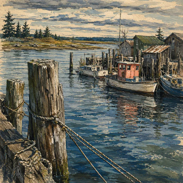
  2. Gouache harbor scene with weathered mooring posts and ropes in the foreground, small fishing boats beside wooden sheds, and low wooded shores beneath a cloudy sky.

    Day 15 · Planned

    Blaine

    Washington

    The planned 7.5-mile leg reaches Blaine before the Peace Arch crossing. Fishing, logging and the international boundary are part of the city’s own account of its history.

    7.5 planned walking miles
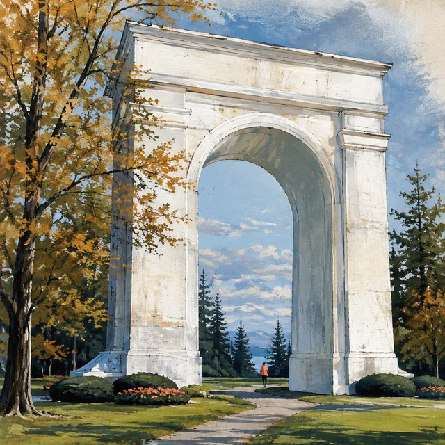
  3. Gouache illustration of the white Peace Arch above a park path. A tiny walker in coral passes beneath its rounded opening, framed by autumn trees and flower beds.

    Day 16 · Planned

    Elgin, Surrey

    Elgin, South Surrey, British Columbia

    The planned Day 16 crossing reaches Elgin, Surrey, on September 22, 2026: the date currently listed for World Marrow Donor Day. The land stage carries 8.6 planned walking miles.

    8.6 planned walking miles

Lower Mainland

  1. Gouache illustration of a residential corner with a curved sidewalk, leafy trees, low houses and red wooden fences casting long shadows.

    Day 17 · Planned

    North Delta

    City of Delta, British Columbia

    Day 17 is planned as 11 miles to North Delta, one of Delta’s three communities. The city’s river and agricultural history adds context to this suburban stage.

    11 planned walking miles
  2. An empty blue wooden bench sits beneath an autumn tree, backed by a hedge and low neighborhood roofs, in a gouache and ink illustration.

    Day 18 · Planned

    Bone Marrow Awareness Day — North Delta

    North Delta, British Columbia

    The fourth planned Awareness Day remains in North Delta. The walking miles pause for a day focused on the Canadian registration process, eligibility and consent.

    Awareness DayNo planned route miles
  3. Gouache view along a shaded path beneath arching trees, with apartment buildings at left and a small walker in the distance.

    Day 19 · Planned

    Burnaby

    British Columbia

    The planned 11.5-mile stage reaches Burnaby, where a regional greenway links three cities. Current construction notices mean the walking passage needs review before travel.

    11.5 planned walking miles
  4. A painted city sidewalk and crosswalk pass planted beds and a tall pale building with blue glass, beneath rows of street trees.

    Day 20 · Planned

    Vancouver General Hospital, West 12th Avenue

    Vancouver General Hospital, 899 West 12th Avenue, Vancouver, British Columbia

    The planned 7.7-mile leg reaches the Vancouver General Hospital area. UBC describes its leukemia and marrow transplant program as serving adults across British Columbia and Yukon.

    7.7 planned walking miles
  5. Gouache illustration of an empty wooden bench on a sunlit city sidewalk, shaded by conifer branches beside planted beds and blue-glass buildings.

    Day 21 · Planned

    Bone Marrow Awareness Day — Vancouver

    Vancouver, British Columbia

    The planned Vancouver Awareness Day follows the VGH stage. The walking miles pause while the day’s reading considers matching and the different options in a donor search.

    Awareness DayNo planned route miles

Fraser to the Ferry

  1. Gouache view down a steep neighborhood street toward a broad river bend. Small houses and utility poles frame a train on an elevated track.

    Day 22 · Planned

    Connaught Heights, New Westminster

    22nd Street SkyTrain Station, Connaught Heights, New Westminster, BC

    The planned 9.6-mile stage reaches Connaught Heights. Surveyed in 1859 and incorporated into New Westminster in 1965, the neighborhood has a long history of changing connections.

    9.6 planned walking miles
  2. A yellow sawtooth-roof warehouse and blue loading bays reflect in rain puddles beside a closed yard gate, with river water visible beyond, painted in gouache.

    Day 23 · Planned

    Tilbury, Delta

    Tilbury industrial area, Delta, BC

    Day 23 is planned as 9.8 miles to Tilbury, Delta. Its industrial roads and railway connections are part of the Fraser River’s working landscape.

    9.8 planned walking miles
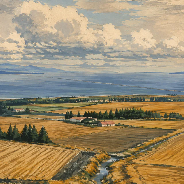
  3. Gouache panorama of golden coastal fields, a winding drainage channel and scattered farm buildings, with blue water and a thin causeway in the distance.

    Day 24 · Planned

    Tsawwassen, Delta

    Winskill Park, Tsawwassen, Delta, BC

    The planned 10.8-mile stage reaches Tsawwassen. The ferry terminal brings the mainland chapter to its water crossing, scheduled for the following day.

    10.8 planned walking miles
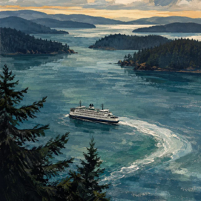
  4. Gouache view from a wooded bluff of a white ferry leaving a curved wake through blue channels between layered, forested islands.

    Day 25 · Planned

    Sidney, Vancouver Island

    Town of Sidney Municipal Hall, 2440 Sidney Avenue, Sidney, BC

    Day 25 combines the Tsawwassen–Swartz Bay ferry with 8.5 planned walking miles on land, before and after the crossing. Water miles are excluded.

    Ferry + walking8.5 planned walking milesWater crossing excluded

Saanich to Victoria

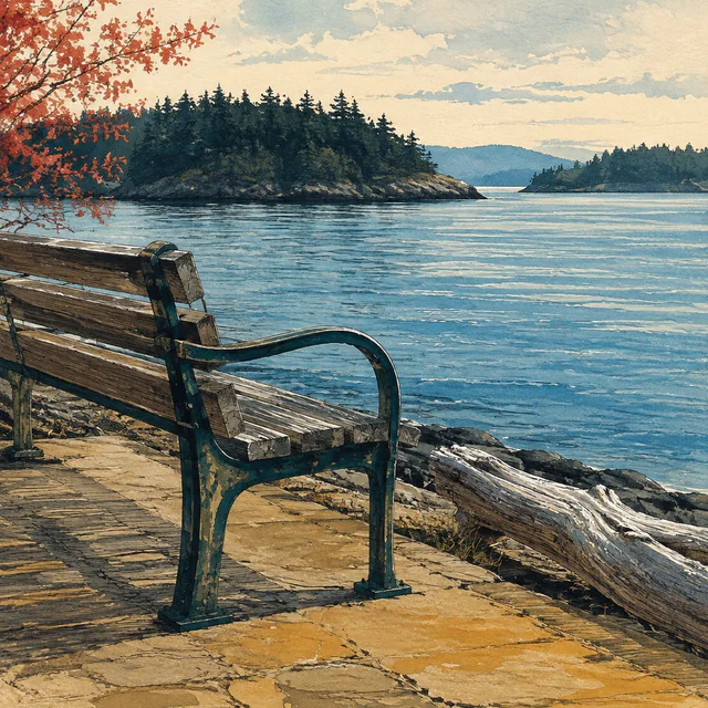
  1. An empty weathered bench overlooks calm blue water and wooded islands, with driftwood along the shore and coral leaves at left, painted in gouache.

    Day 26 · Planned

    Bone Marrow Awareness Day — Sidney

    Sidney town centre, British Columbia

    The sixth planned Awareness Day remains in Sidney. No route miles are scheduled before the next stage south along the Saanich Peninsula.

    Awareness DayNo planned route miles
  2. Gouache illustration of a tree-framed path crossing a small road beside fields, hedges and a bus shelter, with distant homes, water and a tiny walker.

    Day 27 · Planned

    Royal Oak, Saanich

    British Columbia

    The planned 12.1-mile leg heads south from Sidney to Royal Oak, Saanich. A former municipal center and a railway trail give this suburban area a layered history.

    12.1 planned walking miles
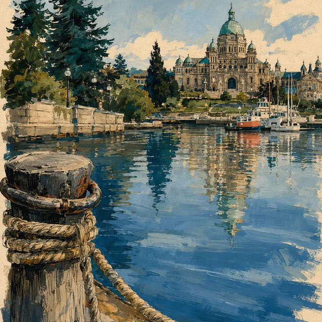
  3. Gouache view across blue harbor water toward a domed legislature, with moored boats, a stone quay and a rope-wrapped wooden piling in the foreground.

    Day 28 · Planned

    Victoria

    Inner Harbour, Victoria, British Columbia

    The planned 5.8-mile stage reaches Victoria. The provincial capital marks the end of this island walking section, with an Awareness Day and another ferry still ahead.

    5.8 planned walking miles
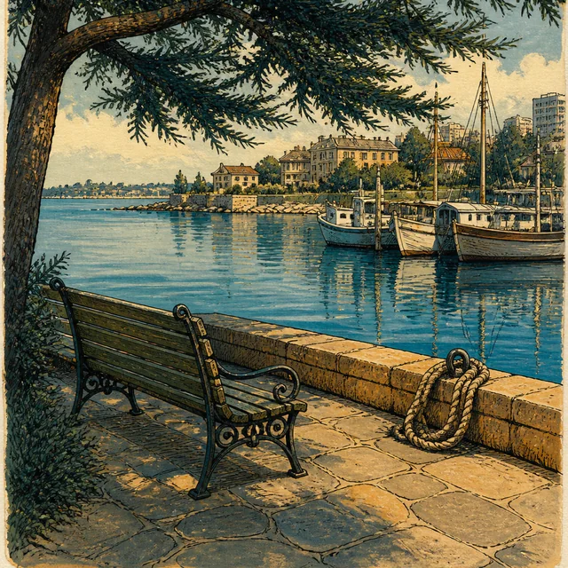
  4. An empty wooden bench sits beneath an evergreen beside a stone harbor wall, with a coil of rope, moored boats and pale waterfront buildings, painted in gouache.

    Day 29 · Planned

    Bone Marrow Awareness Day — Victoria

    Downtown Victoria, British Columbia

    The seventh planned Awareness Day remains in Victoria before the return crossing. The walking miles pause, with time in the itinerary to learn what joining a registry may involve.

    Awareness DayNo planned route miles

Port Angeles to Quilcene

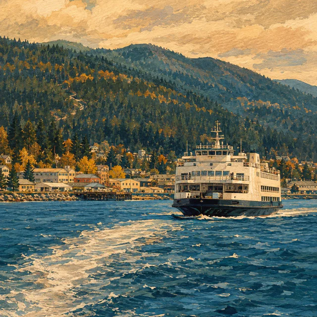
  1. Gouache illustration of a white ferry on choppy blue water, with a low waterfront town and forested hills beneath a warm ochre sky.

    Day 30 · Planned

    Port Angeles East

    East Port Angeles, WA

    Day 30 combines the planned Victoria–Port Angeles ferry with 4.4 walking miles in Washington. The crossing’s water distance is excluded from the mileage total.

    Ferry + walking4.4 planned walking milesWater crossing excluded
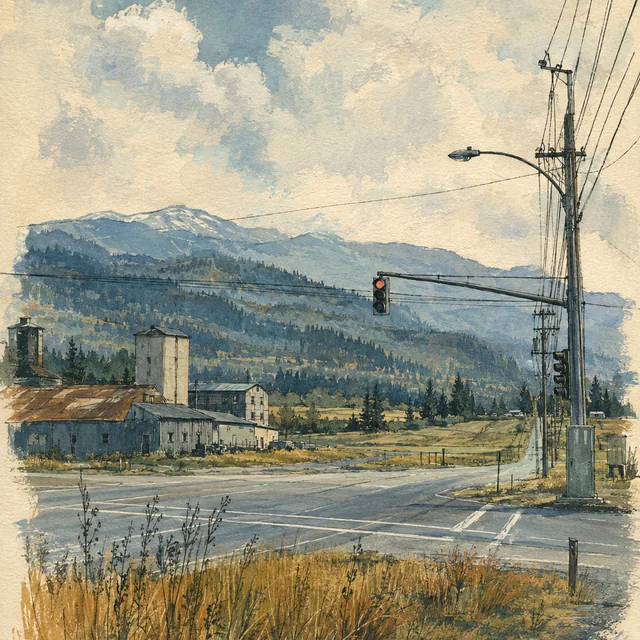
  2. Gouache view of a quiet rural crossroads with a red traffic light, utility poles, weathered low buildings and dry grass, backed by fields and wooded mountains.

    Day 31 · Planned

    Carlsborg

    Clallam County, WA

    Day 31 is planned as 11 miles to Carlsborg. The county’s history describes a community built around lumber, agriculture and local services.

    11 planned walking miles
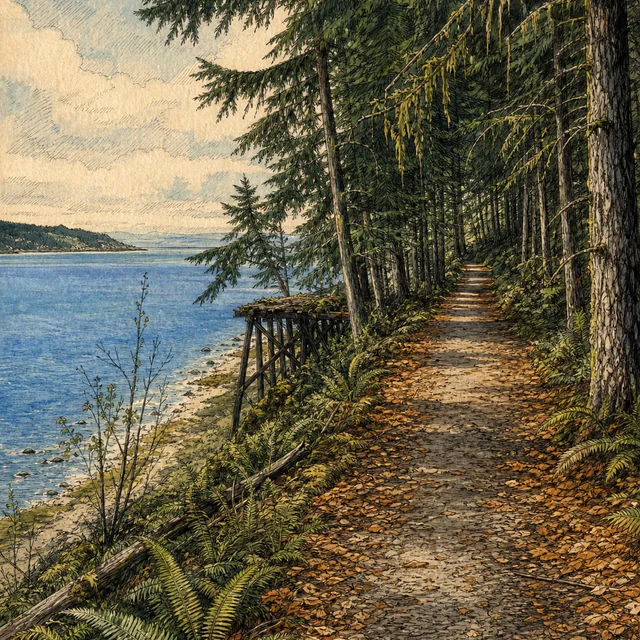
  3. A leaf-covered path follows a blue bay beneath mossy conifers, with ferns and weathered wooden supports near the shore, in a gouache and ink illustration.

    Day 32 · Planned

    Blyn

    Clallam County, WA

    The planned 10.4-mile stage reaches Blyn. The Olympic Discovery Trail carries part of the region’s railway history, alongside road sections that need their own attention.

    10.4 planned walking miles
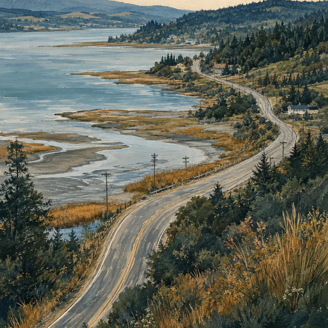
  4. Gouache panorama of a two-lane road curving beside tidal flats and blue bay water, with small houses, utility poles and forested hills.

    Day 33 · Planned

    Discovery Bay

    Jefferson County, WA

    Day 33 is planned as 9.7 miles to Discovery Bay. The next stage turns toward Quilcene and the communities along Hood Canal.

    9.7 planned walking miles
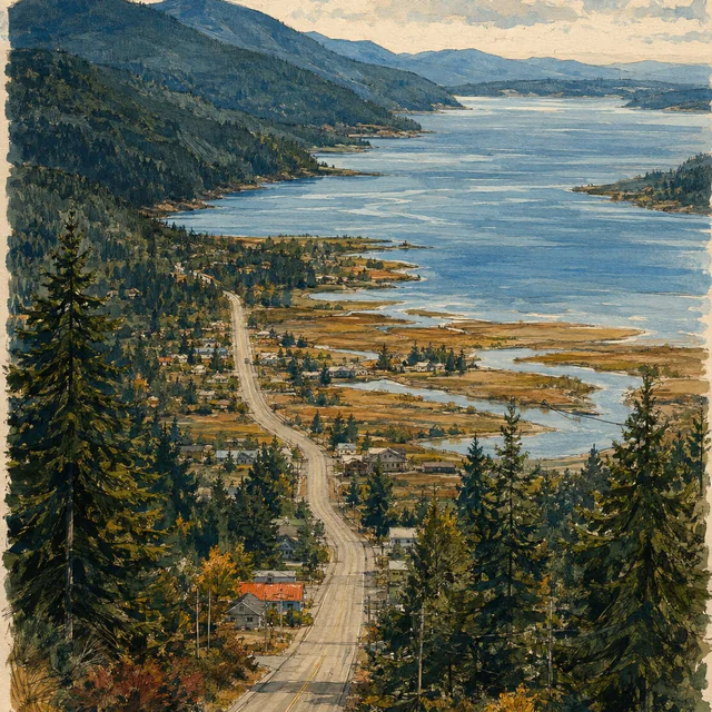
  5. Gouache panorama of a road descending through small homes and conifers beside winding tidal channels and a broad blue bay, with wooded hills beyond.

    Day 34 · Planned

    Quilcene

    Jefferson County, WA

    The planned 14.5-mile stage reaches Quilcene before an Awareness Day. Its rivers and salmon history connect the Olympic Mountains with Hood Canal.

    14.5 planned walking miles
  6. Gouache view from beneath a timber shelter, with an empty wooden table, thick posts and wet paving framing small houses, conifers and blue bay water.

    Day 35 · Planned

    Bone Marrow Awareness Day — Quilcene

    Quilcene, Jefferson County, WA

    The eighth planned Awareness Day remains in Quilcene. No route miles are scheduled between the Discovery Bay approach and the next stage toward Brinnon.

    Awareness DayNo planned route miles

Hood Canal

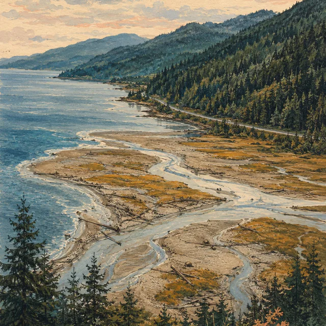
  1. Braided shallows wind through gravel, driftwood and golden marsh into blue coastal water, beside a road and forested hills, painted in gouache.

    Day 36 · Planned

    Brinnon

    Jefferson County, Washington

    The planned 12.6-mile stage reaches Brinnon on Hood Canal. The Dosewallips brings sediment from the Olympics into a braided estuary at the water’s edge.

    12.6 planned walking miles
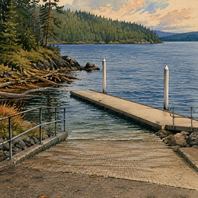
  2. Gouache illustration of a concrete boat ramp, railings and an empty dock beside blue water, with driftwood, shoreline rocks and wooded banks.

    Day 37 · Planned

    Triton Cove State Park

    US Highway 101, Brinnon, Washington

    The planned 7.1-mile stage reaches Triton Cove State Park. Its 555 feet of shoreline form a small public access point along Hood Canal.

    7.1 planned walking miles
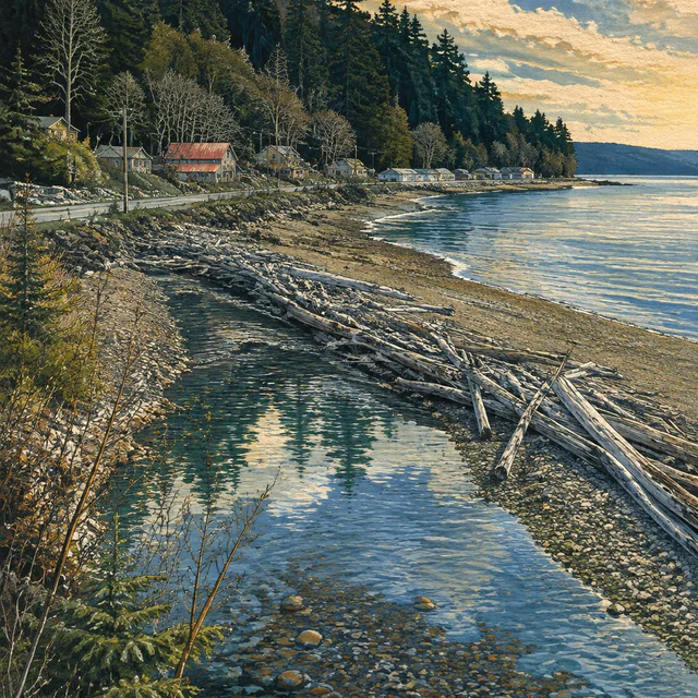
  3. Gouache view of a clear, stony creek beside a driftwood-covered beach, with blue coastal water, low roadside houses and a densely wooded slope.

    Day 38 · Planned

    Lilliwaup

    Mason County, Washington

    The planned 12.7-mile leg reaches Lilliwaup, where an 1890 government expedition began its journey into the southern Olympics.

    12.7 planned walking miles
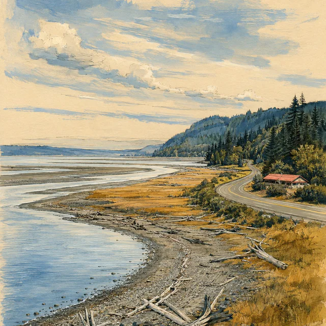
  4. A curving road passes a coral-roofed building above driftwood-strewn tidal flats, golden grass and blue water beneath wooded hills, painted in gouache.

    Day 39 · Planned

    Potlatch

    Potlatch State Park, US Highway 101, Mason County, Washington

    Day 39 is planned as 9.8 walking miles to the Potlatch area. The Great Bend marks a change in the route’s relationship with Hood Canal before the approach to Shelton.

    9.8 planned walking miles
  5. Gouache view of an empty weathered picnic table with a coral leaf beside a rocky shore, broad blue water and forested hills across the inlet.

    Day 40 · Planned

    Bone Marrow Awareness Day — Hood Canal

    US Highway 101, Hood Canal, Mason County, Washington

    The ninth planned Awareness Day remains on Hood Canal. No route miles are scheduled before the final chapter through Shelton to Olympia.

    Awareness DayNo planned route miles

South Sound to the Capitol

  1. Gouache view down a sloping street lined with timber and brick buildings and utility wires, toward pale bay water and wooded hills beyond.

    Day 41 · Planned

    Shelton

    Mason County, WA

    The planned 11.1-mile leg reaches Shelton, Mason County’s seat and only incorporated city. Its local hospital district adds another layer to the city’s public-service history.

    11.1 planned walking miles
  2. Painted tidal flats with winding blue channels and rows of shellfish beds, framed by conifers, low hills and a narrow road in the distance.

    Day 42 · Planned

    Kamilche

    Mason County, WA

    The planned 8.7-mile stage reaches Kamilche, followed by two walking days to the Capitol. Little Skookum Inlet is part of the area’s working-waterfront context.

    8.7 planned walking miles
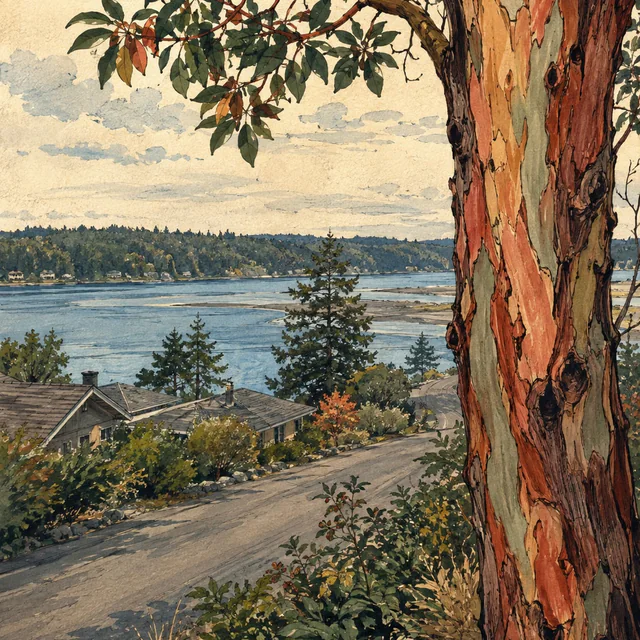
  3. A madrone trunk with peeling coral and pale-green bark frames a quiet road, low roofs and blue inlet water, in a gouache and ink illustration.

    Day 43 · Planned

    Madrona Beach

    Thurston County, WA

    Day 43 is planned as 11.4 miles to Madrona Beach. Eld Inlet and its creek basin provide the setting for the final stop before the Capitol walking stage.

    11.4 planned walking miles
  4. Gouache view of the Washington State Capitol dome and columned stone facade, framed by autumn trees, green lawn and an empty stone path.

    Day 44 · Planned

    Olympia — Washington State Capitol

    Washington State Capitol campus, Olympia, WA

    The final walking stage is planned as 9.5 miles to the Legislative Building in Olympia. The campaign continues with a separate Awareness Day on Day 45.

    9.5 planned walking miles
  5. An empty wooden bench sits beneath golden autumn branches beside a low stone wall, with the Capitol dome beyond the trees, painted in gouache.

    Day 45 · Planned

    Finish — Bone Marrow Awareness Day, Olympia

    Olympia, WA

    Day 45 is the tenth planned Awareness Day and the end of the campaign itinerary. No route miles are scheduled after the Capitol walking stage.

    Awareness DayNo planned route miles