Day 11 · Scheduled earlier
Chuckanut Drive
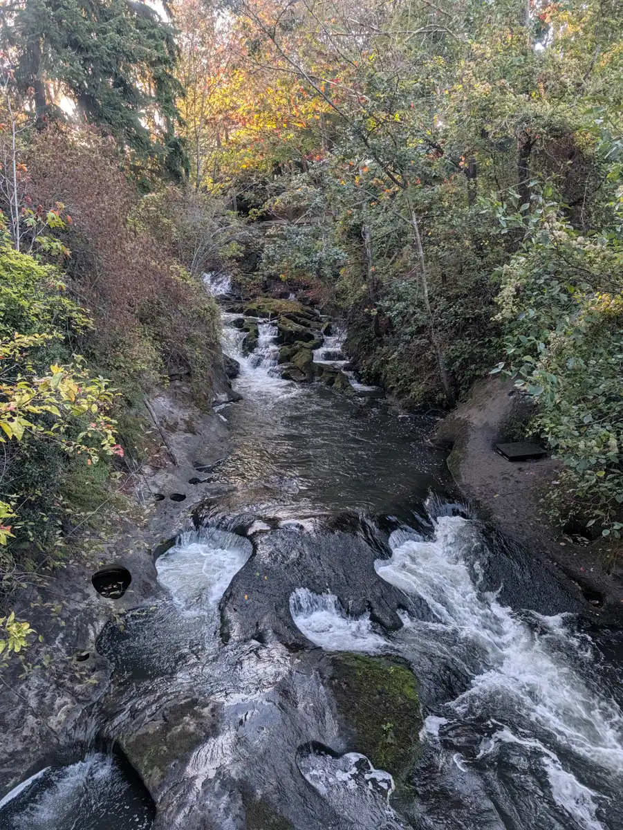
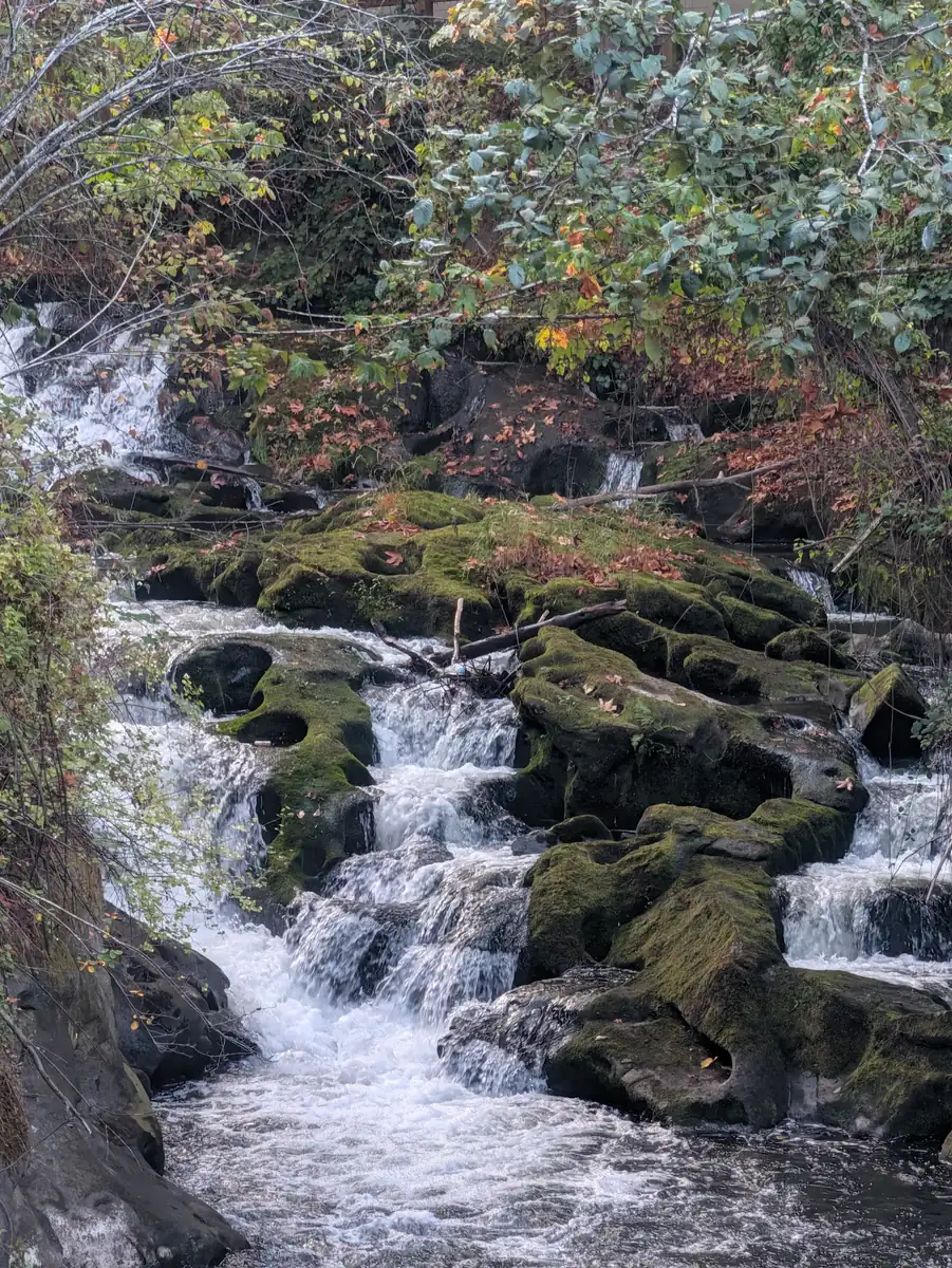
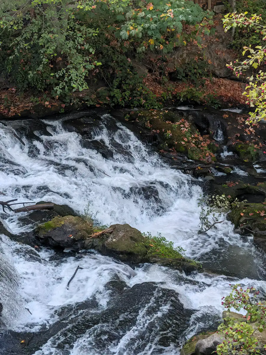
Chuckanut Drive corridor at Larrabee State Park, Whatcom County, WA
Chuckanut Drive and Washington’s first state park
This day on the route
- Planned date
- The day
- Walking
- Planned walking
- 6.8 miles
Day 11: 6.8 planned walking miles in the Chuckanut corridor. Water-line work at Larrabee was scheduled to start September 15, 2026, and State Parks notices differed on closure details at the time: camping was closed, and day-use access could change.
Route overview, not turn-by-turn directions.

The 6.8 planned miles follow the Chuckanut corridor beside Washington’s first state park. Water-line construction at the park was scheduled to overlap this stage.
Chuckanut Drive follows steep ground above Samish and Chuckanut bays. WSDOT’s historic-highway account records its opening to automobile traffic in 1916 and describes a narrow roadway with limited shoulders and restricted sight distance. Its short distances on a map follow a coast where the road has little room to spare.
Larrabee became Washington’s first state park when the state accepted a land donation from Frances Larrabee in November 1915. It was initially called Chuckanut State Park and received the family’s name in 1923. State Parks also records that a landslide delayed the planned road dedication, an early reminder that this coastal setting has always shaped access.
Water-line construction was scheduled to begin September 15, 2026, shortly before this stage. State Parks’ project page and park alert gave different closure details: the project listed a broad closure through an estimated May 31, 2027, while the park alert closed camping through June 15 and described changing day-use access.
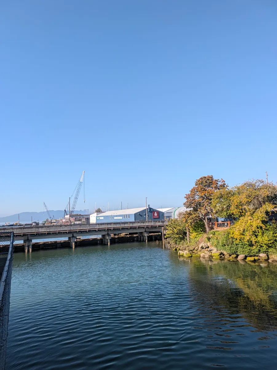
Day 11 had 6.8 planned walking miles in the Chuckanut corridor, followed by nine miles toward Bellingham. The coast connects the forested Skagit chapter with the city beside Bellingham Bay.
From the road
Her awareness day in Bellingham, from city to county, and strangers who found a spot for the tent
She made this her bone marrow awareness day in Bellingham. She had a shower and breakfast at the Lighthouse Mission and walked down into town, leaving her walking poles and her Swiss Army knife behind at the mission.
She called on City Council Member Hannah Stone, who was excited about the walk and about what the City of Bellingham can do to save the lives of patients who need a stem cell or bone marrow transplant. Hannah suggested she take the same request to the county offices, so she did. Riley at the county was interested in working with the city on a Bone Marrow Awareness Day, and in putting the information on the county website, which is his area. A newsletter, a website: wonderful ideas for sharing, she says. Text JADA to 61474 to join NMDP.
Then it was back up the hill to the Lighthouse Mission for the poles and the knife.
Someone had suggested the Bellingham Unitarian Fellowship for a bed. They were not able to help, but a gentleman there suggested the Way Station, which was on her list anyway because it helps people with their laundry. So she walked back down past downtown to the Way Station and did her washing.
She had a Zoom call booked with Cristina from NMDP, to talk about a bone marrow drive in Olympia at the end of the walk in October, so she found somewhere to sit down, take the call and charge her phone.
Then she walked back up the same hill and picked up the route towards Ferndale. At Menace Brewing a patron bought her a carbonated water, because she was so thirsty from the walking, and staying hydrated really matters. She charged the phone some more and rang round for somewhere to sleep, without any luck.
Further on she came to Goods Local Brews. The bartender, Bree, heard what she was doing and asked some of the patrons whether they knew anywhere she could pitch a tent. A woman called Sharon and her friend Blake were a great help, and arranged a spot for the tent on a friend’s property. It was off the route, and she expected to owe the miles back, but it turned out she had already walked a tenth of a mile past it. That made her happy.
As she and Blake talked, it came out that Blake lives on the Olympic Peninsula, right on a later stretch of the route. They swapped details, and Blake is looking forward to putting her up when she gets there.
She ended the day in her tent, ready for a good night’s rest.
I like it when my sleeping place is on my route, but sometimes you just have to be flexible.

- Distance walked
- 8.7 miles
Choose where you live
Continue to the official registry that serves you. It decides eligibility, handles registration and contacts you if you may match a patient.
United States — NMDP
NMDP accepts new registry members who are 18 to 35, live in the US, its territories or freely associated states, can meet NMDP’s health guidelines, and are not already registered through another US organization. Joining happens at home: you answer a few questions on NMDP’s site, they mail you a free cheek-swab kit, and you swab and send it back. Once you are a member you stay listed until you are 61 unless you ask to be removed — 61 is when NMDP takes you off, not an age at which you can join. NMDP makes the final eligibility decision.
Check the listed age range
NMDP — Join the registry · checked Sep 1, 2026
Prefer to text? Send JADA to 61474 and NMDP will take it from there.
Browse all official registry options
Eligibility rules can change. Confirm the current requirements with the official registry before joining.
Give to the Jada Bascom Foundation
Choose a symbolic amount or enter your own in Givebutter. Your donation supports JBF’s work wherever it is needed most.
Sponsoring a mile, a day or a stop is a way of describing a gift to the Jada Bascom Foundation. It does not purchase anything on the route.
$100.00 is a suggested amount. Confirm or change it in Givebutter.
Sources
Local history and background reading for this stop.
- Historic Highway SR 11 — checked Sep 5, 2026
- Larrabee State Park history — checked Sep 5, 2026
- Larrabee water system overhaul — checked Sep 5, 2026
- Larrabee State Park — July 1, 2026 construction alert — checked Sep 5, 2026