
Day 14 · Scheduled earlier
Custer
Whatcom County, Washington
The planned 14.6-mile day ends in Custer. Its school history reaches from a district founded in 1891 to the building that joined the Ferndale district in 1941.
14.6 planned walking miles

An illustrated itinerary
The 3 stops of North to the Peace Arch, in route order.
Day 14 · Scheduled earlier
Whatcom County, Washington
The planned 14.6-mile day ends in Custer. Its school history reaches from a district founded in 1891 to the building that joined the Ferndale district in 1941.
Day 15 · Scheduled earlier
Washington
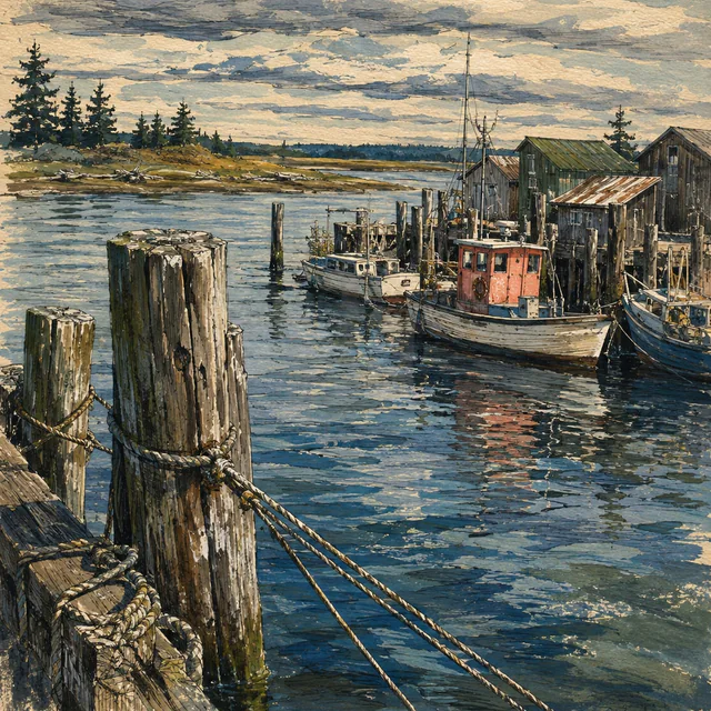
The planned 7.5-mile leg reaches Blaine before the Peace Arch crossing. Fishing, logging and the international boundary are part of the city’s own account of its history.
Day 17 · Scheduled earlier
Elgin, South Surrey, British Columbia
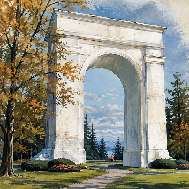
The crossing to Elgin, Surrey, was planned for September 22, 2026, World Marrow Donor Day. Jeana rested in Blaine that day with a cold and walked across the border on September…


Take it off the screen
A coffee counter, a church foyer, a break room, a race table. Every sheet carries the code that opens Jeana’s walk, and a number to text for anyone who would rather not scan — no app, no wifi, nothing to hand back.Every sheet carries the code that opens Jeana’s walk — nothing to install, nothing to hand back. The number to text printed beside it is for joining NMDP, which registers people who live in the U.S., its territories and the freely associated states. If you live anywhere else, find your country’s registry.
Flyer
One page, for a wall or a noticeboard. The same sheet in three voices.
Table tent
One page that folds and stands on a table or a counter.
Everything else for running a drive
Host a registration drive at your school, work or place of worship, raise funds, or lend a skill. Tell us what you have in mind and we will help you plan it.